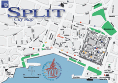
Split Tourist Map
Tourist map of central Split, Croatia.
380 miles away

East Central and Southeast Europe Nationality Map
Shows color-coded nationalities on map of central eastern and southeastern Europe. 1989-1992
380 miles away
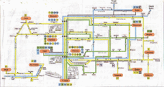
Split Bus Map
380 miles away
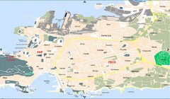
Split Tourist Map
380 miles away

Wuerttembergische Landeskirche Map
Karte der Evang. Landeskirche in Wuerttemberg, The Evangelical-Lutheran Church in Wuerttemberg
381 miles away
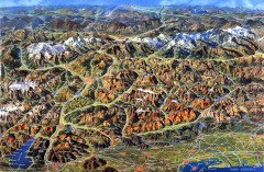
Eastern Alps Italy and Austria Overview Map
Panoramic map of the mountains and towns of northern Italy, the Tyrol, and southern Austria
381 miles away
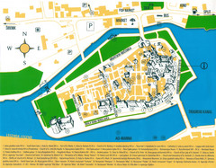
Trogir Croatia Tourist Map
Trogir, Croatia tourist map showing monuments and tourist sites with a legend.
382 miles away
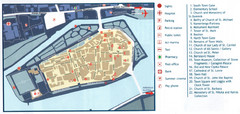
Trogir Tourist Map
Tourist map of old island town Trogir, Croatia. Shows points of interest.
382 miles away
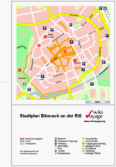
Biberach an der Riß Tourist Map
Tourist map of Biberach an der Riß town center
382 miles away
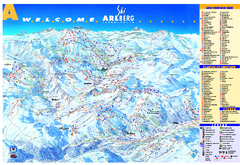
St Anton Region Ski map
Panoramic ski map covers St. Anton, St. Christoph, St. Jakob, Stuben, Zurs, Zug, Lech, and Oberlech...
382 miles away
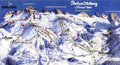
Arlberg – St Anton Ski Trail Map
Trail map from Arlberg – St Anton.
382 miles away
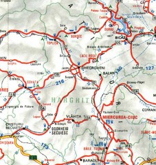
Harghita Map
382 miles away
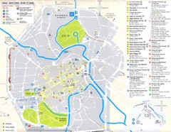
Vicenza Map
383 miles away
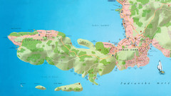
Okrug Donji and Okrug Gornji Tourist Map
Tourist map of Okrug Donji, Croatia and Okrug Gornji, Croatia
383 miles away
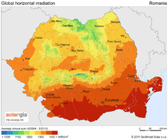
Solar Radiation Map of Romania
Solar Radiation Map Based on high resolution Solar Radiation Database: SolarGIS. On the Solar Map...
383 miles away
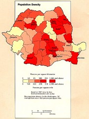
Romania Population Density Map
Map of Romania's population density
383 miles away
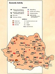
Romania Economic Activity Map
Map of Romania's economic activity
383 miles away
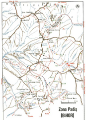
Romanian Toristic Routes 3 Map
383 miles away
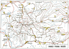
Romanian Touristic Routes 2 Map
383 miles away
Romanian Touristic Map 1
383 miles away
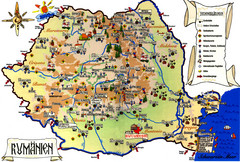
Romania Tourist Map
Tourist map of Romania showing tourist attractions, roads, and airports. Note the map is in...
383 miles away
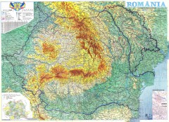
Romania Overview Map
Map also shows Moldova. Color shading of geographical zones
383 miles away
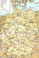
Germany Map
Map of Germany showing roads, railways and cities.
383 miles away

Sulden Ski Trail Map
Ski trail map of Sulden (Solda), Italy in the Ortler Alps. Shows trails and lifts.
383 miles away
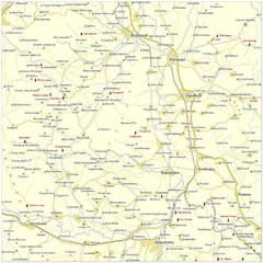
Monasteries in central Serbia (Levač area) Map
Levač is historic area in the central part of Serbia around Morava river.
384 miles away
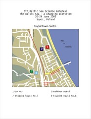
Eastern Sopot Map
385 miles away
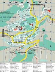
Sankt Andreasberg Tourist Map
Sankt Andreasberg tourist map
385 miles away
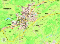
Lindenberg im Allgäu Map
Street map of Lindenberg
386 miles away
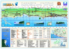
Brela Tourist Map
Tourist map of Brela, Croatia. Shows street index and list of hotels.
386 miles away
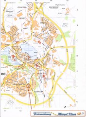
Bad Waldsee Map
Street map of Bad Waldsee
386 miles away

Sulden Trafoi Summer Hiking Map
Summer hiking route map of Sulden (Solda) Italy, Trafoi, Italy and Stelvio, Italy. Shows hiking...
386 miles away
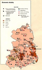
East Germany Economic Activity Map
Map of East Germany's economic activity
387 miles away
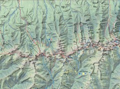
Fagaras Mountains Map
387 miles away
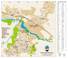
Suceava Tourist Map
Tourist map of Suceava, Romania. Shows restaurants, hotels, and other points of interest...
388 miles away
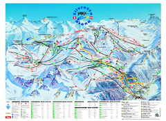
Ischgl – Galtur Ski Trail Map
Trail map from Ischgl – Galtur.
389 miles away
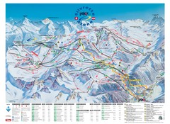
Ischgl – Galtur Ski Trail Map
Trail map from Ischgl – Galtur.
389 miles away
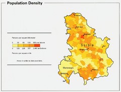
Serbia and Montenegro Population Map
Map of Serbia and Montenegro's population map
390 miles away

