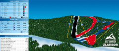
Ski Centar Zlatibor Ski Trail Map
Trail map from Zlatibor.
367 miles away
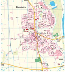
Dietenheim Map
Street map of Dietenheim
368 miles away
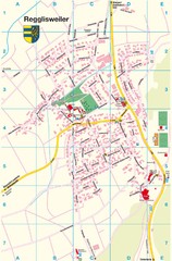
Regglisweiler Map
Map of town of Regglisweiler
368 miles away
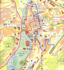
Bad Kissingen Tourist Map
Tourist map of Bad Kissingen
368 miles away
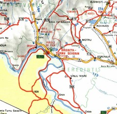
Mehedinti Map
370 miles away
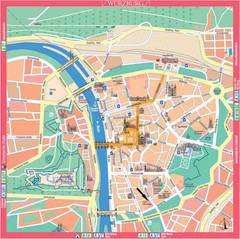
Würzburg Tourist Map
Tourist street map of Würzburg center
371 miles away
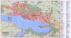
Sibenik City Map
City map of Sibenik, Croatia. Shows index for points of interest. In Croatian.
371 miles away
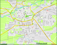
Halberstadt Map
Street map of Halberstadt town
371 miles away
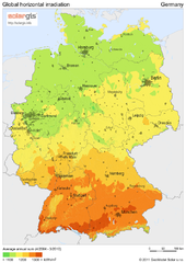
Solar Radiation Map of Germany
Solar Radiation Map Based on high resolution Solar Radiation Database: SolarGIS. On the Solar Map...
372 miles away
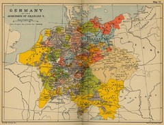
Germany 1519 Historical Map
372 miles away
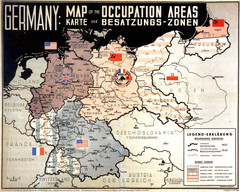
Occupation Areas of Germany after 1945 Map
This was an actual poster to be shown in the occupied Germany after the WWII.
372 miles away
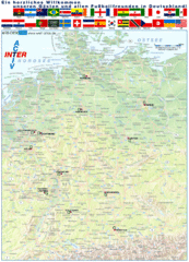
Germany Football World Cup 2006 Map
Shows football (soccer) cities in the 2006 World Cup hosted by Germany.
372 miles away
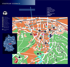
Eisenach Tourist Map
Tourist street map of Eisenach
372 miles away
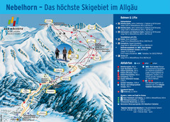
Oberstdorf Ski Trail Map
Trail map from Oberstdorf.
372 miles away
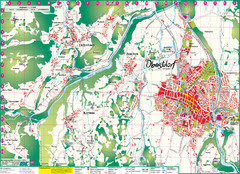
Oberstdorf City Map
City map of Oberstdorf, Germany and surrounding area. Shows buildings and ski lifts. In German.
372 miles away
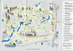
Muhlhausen City Map
City map of Muhlhausen with attractions.
373 miles away
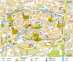
Mühlhausen Tourist Map
Tourist street map of Mühlhausen
373 miles away
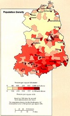
Eastern Germany Population Density Map
Map of Eastern Germany's population density
373 miles away
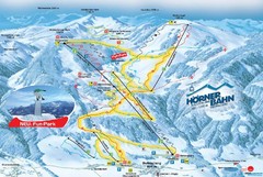
Bolsterlang Ski Trail Map
Trail map from Bolsterlang.
373 miles away
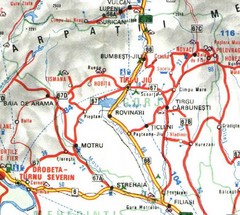
Gorj Map
374 miles away
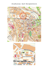
Bad Mergentheim Map
Street map of Bad Mergentheim
376 miles away
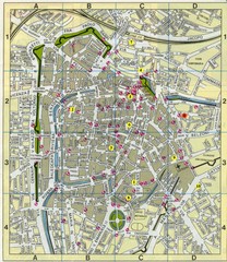
Padova Street Map
Street map of central Padova, Italy. Shows public phones.
377 miles away
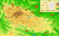
Harz Nature Park Map
Shaded relief map of Naturpark Harz.
377 miles away
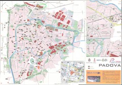
Padova Map
377 miles away
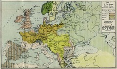
Extinction of France Map 1918
Shows pan-German scheme for the Extinction of France, 1918. As given in "Frankreich's...
377 miles away
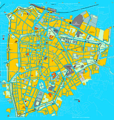
Padova Tourist Map
Tourist map of central Padova (Padua), Italy. Shows major buildings and other tourist information.
377 miles away
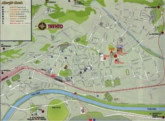
Trento Map
377 miles away
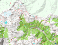
Val di Rabbi Topo Map
Detailed topographic map of Val di Rabbi, Italy on the edge of Stelvio National Park
377 miles away
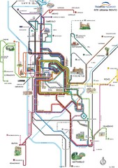
Trento Bus Route Map (Italian)
378 miles away
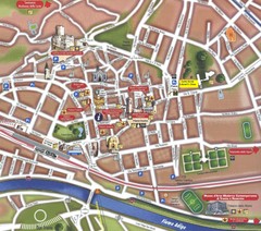
Trento Tourist Map
Tourist map of central Trento, Italy. Shows major buildings.
378 miles away
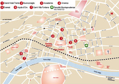
Trento center Map
378 miles away
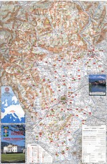
Vicenza Tourist Map
Tourist map of region around Vicenza, Italy. Shows points of interest. In Italian. Scanned.
378 miles away
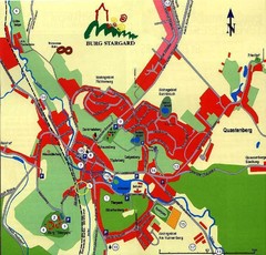
Burg Stargard Tourist Map
tourist map of Burg Stargard
378 miles away
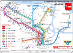
Gdansk Tram Route Map
Shows tram routes in Gdansk, Poland
378 miles away
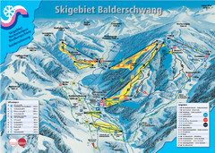
Balderschwang Balderschwang Ski Trail Map
Trail map from Balderschwang.
379 miles away
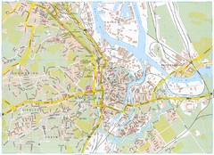
Gdansk Tourist Map
Tourist map of central Gdansk, Poland. Shows points of interest.
379 miles away

