
Areas Surrounding Bakewell, UK Map
Cities and areas around Bakewell, United Kingdom
0 miles away
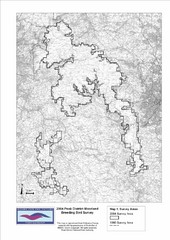
Bird Survey Map
Map of survey areas in the Peak District Moorland. Shows survey areas of 1990 and 2004.
3 miles away
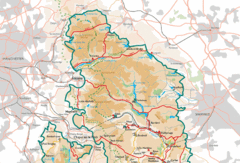
Peak District National Park Map
National Park map.
5 miles away
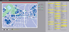
University of Sheffield Map
Campus map
14 miles away
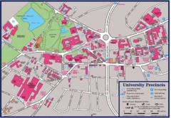
University of Sheffield Map
Campus map of the University of Sheffield in Sheffield, England. Shows parking, bus stops, and...
14 miles away
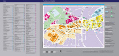
The University of Sheffield Reference Map
The University of Sheffield, United Kingdom
14 miles away
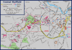
Central Sheffield Map
Map shows central Sheffield, England area. Bus stops and University of Sheffield parking areas...
14 miles away
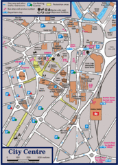
Sheffield Tourist Map
Tourist map of the city center of Sheffield, England.
14 miles away
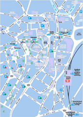
Sheffield City Map
City centre map of Sheffield, England. Shows parking, ATMs, and other points of interest.
15 miles away
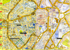
Sheffield City Center Map
15 miles away
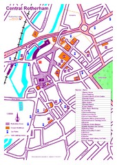
Central Rotherham Map
20 miles away
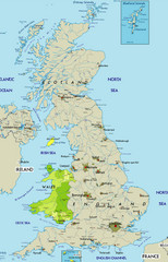
Wales Map
Guide to Wales and major cities in the United Kingdom
22 miles away
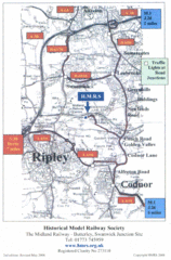
Central England Tourist Map
The area around Nottingham
22 miles away
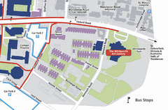
University of Manchester Map
Map of the University of Manchester with the Whitworth Art Gallery highlighted.
22 miles away
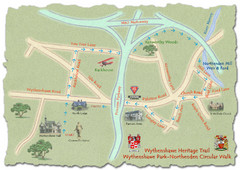
Wythenshawe Heritage Trail map
Northenden Circular Walk trail at Wythenshawe Park.
23 miles away
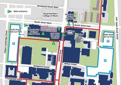
Manchester Business School Map
Map of Machester Business School at University of Manchester
23 miles away
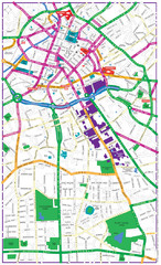
Manchester Tourist Map
Tourist map of Manchester, UK. Shows points of interest.
23 miles away
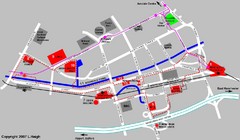
Manchester Map
23 miles away
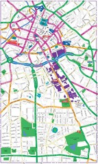
Manchester Map
23 miles away
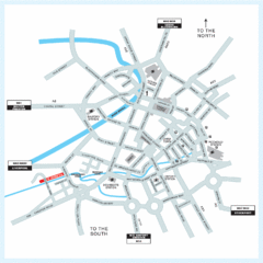
Manchester Overview Map
24 miles away
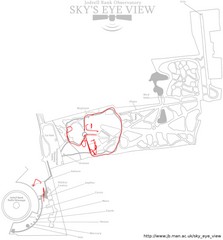
Jodrell Bank Observatory Map
Map of the Jodrell Bank Observatory. Shows location of parking lot, layout of the observatory...
24 miles away

DTb Master Diagram (early draft) Map
DUKERIES THINKBELT: MASTER DIAGRAM All elements and key
25 miles away
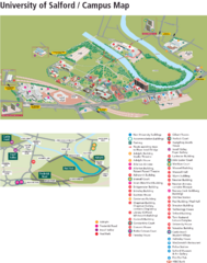
University of Salford Map
25 miles away
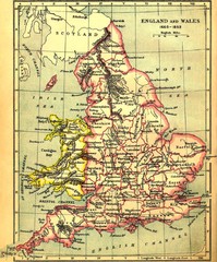
1660-1892 England and Wales Map
Guide to England and Wales from 1660-1892, showing topographic information
25 miles away
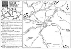
Huddersfield New College Location Map
26 miles away

Schematic UK Postcode Map
Shows all postcode areas in the United Kingdom in shape of UK with London extracted.
27 miles away
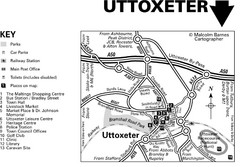
Uttoxeter Town Centre Map
27 miles away
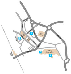
Wakefield Center Street Map
Crude street map of center of Wakefield, UK.
30 miles away
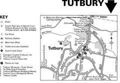
Tutbury Town Centre Map
30 miles away
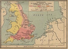
600 British Settlement Map
Map of settlements of Angels, Saxons, Jutes and Native Britons in 600
30 miles away
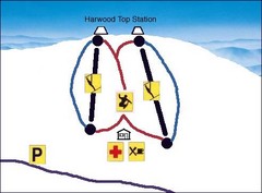
Harwood Sketch Ski Trail Map
Trail map from Harwood.
31 miles away
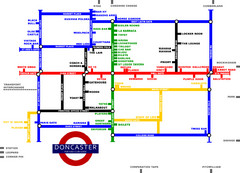
Doncaster Pup Guide Map
31 miles away
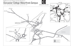
Doncaster College Waterfront Campus Map
B&W Printable version of the Doncaster College Waterfront Campus showing parking and vehicular...
31 miles away
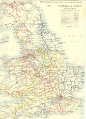
1887 - Prinicipal Railways in England and Wales...
Railways in England and Wales in 1887
32 miles away
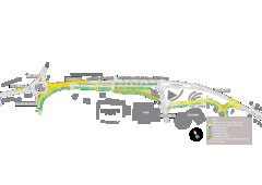
Bawtry Road Bus Lane Map
32 miles away
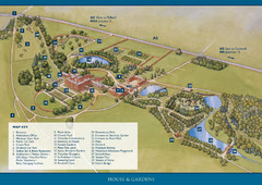
Weston Park Estate Map
32 miles away
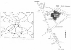
University of Leeds Campus Map
Various buildings on the University of Leeds campus
36 miles away

Rossendale Hospital Map
Campus map of hospital
36 miles away
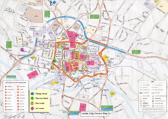
Leeds Tourist Map
Tourist map of city center of Leeds, UK
37 miles away
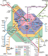
Leeds Metro Train Diagram Map
Metro system map for Leeds, England and surrounding cities.
37 miles away


 Explore Maps
 Map Directory
