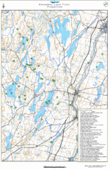
Kennebec Land Trust Map
Map of properties of the Kennebec Land Trust in Maine.
88 miles away
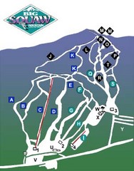
Big Squaw Ski Trail Map
Trail map from Big Squaw, which provides downhill skiing. It has 2 lifts; the longest run is 2253...
88 miles away
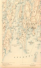
Boothbay Island Map
Topographical map of Boothbay Island and surrounding areas
92 miles away
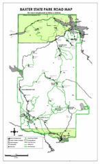
Baxter State Park Road Map
92 miles away
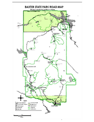
Baxter State Park overview map
Overview map of Baxter State Park. There are 46 mountain peaks and ridges, 18 of which exceed an...
94 miles away
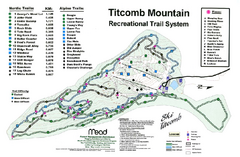
Titcomb Mountain Ski Trail Map
Trail map from Titcomb Mountain.
95 miles away
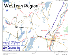
Western Maine, USA Map
Maine Coast Welcome Center's local Map of Western Maine with recommended business locations.
96 miles away
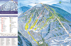
Sugarloaf Ski Trail Map
Trail map from Sugarloaf, which provides downhill, nordic, and terrain park skiing. It has 15 lifts...
103 miles away
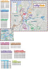
Citylink Route Map
Map of citylink bus routes throughout Auburn and Lewiston, Maine
107 miles away
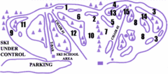
Lost Valley Ski Area Ski Trail Map
Trail map from Lost Valley Ski Area.
109 miles away
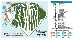
Crabbe Mountain Ski Trail Map
Official ski trail map of Crabbe Mountain ski area. 853 ft vertical, highest in New Brunswick
110 miles away
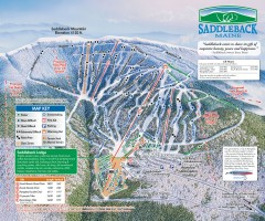
Saddleback Ski Trail Map
Official ski trail map of Saddleback Mountain ski area from the 2006-2007 season.
112 miles away
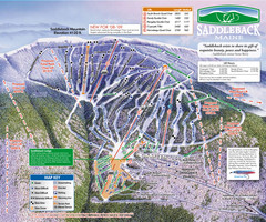
Saddleback Ski Area Ski Trail Map
Trail map from Saddleback Ski Area.
112 miles away
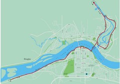
Fredericton Marathon Course Map 2007
Course map of the Fredericton, New Brunswick marathon May 2007
114 miles away
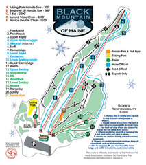
Black Mountain Ski Trail Map
Trail map from Black Mountain, which provides downhill, night, nordic, and terrain park skiing. It...
117 miles away
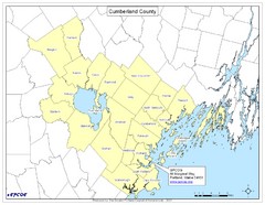
Cumberland County Map
Map showing all city divisions of Cumberland County, Maryland with specific location of the CPCOG.
119 miles away
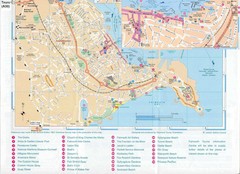
Falmouth Map
Map of Falmouth town and bay. Includes roads, parks, accommodations and attractions.
120 miles away
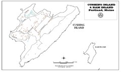
Cushing Island Map
Also shows Ram Island
123 miles away
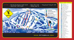
Mt. Abram Ski Resort Ski Trail Map
Trail map from Mt. Abram Ski Resort.
124 miles away
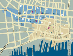
Portland, Maine Tourist Map
124 miles away
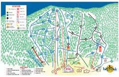
Big Rock Ski Trail Map
Trail map from Big Rock, which provides downhill, night, nordic, and terrain park skiing. It has 5...
125 miles away
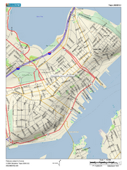
Portland, Maine City Map
125 miles away
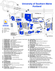
University of Southern Maine - Portland Map
125 miles away
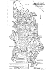
Frye Island Watershed Boundary Map
129 miles away
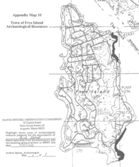
Frye Island Archaeological Map
129 miles away
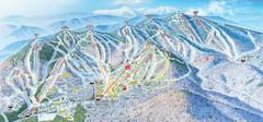
Sunday River Ski Resort Ski Trail Map
Trail map from Sunday River Ski Resort.
131 miles away
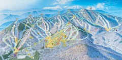
Sunday River Ski Trail map 2006-07
Official ski trail map of Sunday River ski area from the 2006-2007 season.
131 miles away
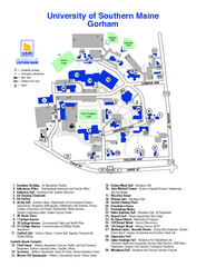
University of Southern Maine - Gorham Map
131 miles away
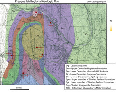
Presque Isle Geologic Map
Presque Isle Geology Field Trip Guide
135 miles away
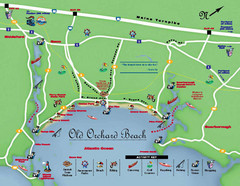
Old Orchard Beach Tourist Map
135 miles away
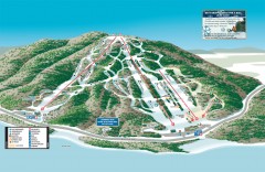
Shawnee Peak Ski Trail Map
Official ski trail map of Shawnee Peak ski area.
136 miles away
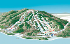
Shawnee Peak Ski Trail Map
Trail map from Shawnee Peak.
136 miles away
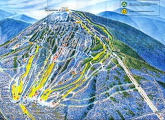
Sugarloaf Trail Map
Ski trail map of Sugarloaf mountain
136 miles away
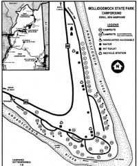
Mollidgewock State Park map
Campground map of Mollidgewock State Park in New Hampshire.
142 miles away
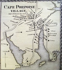
Cape Porpoise Village Map
145 miles away
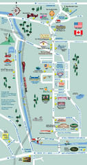
Mt. Washington Valley Restaurant Guide Map
Restaurants in Mt. Washington Valley, New Hampshire
146 miles away
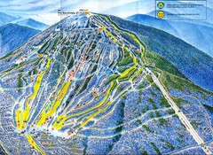
Sugarloaf Mountain Trail Map
Ski trail map
146 miles away
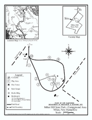
Milan Hill State Park Campground map
Campground map for Milan Hill State Park in New Hampshire.
147 miles away
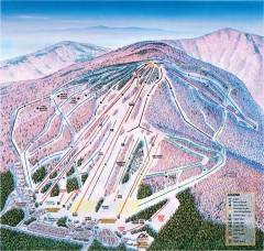
Cranmore Ski Trail Map
Official ski trail map of Cranmore Mountain ski area from the 2007-2008 season.
149 miles away

