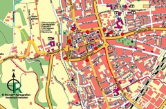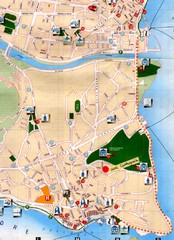
Verbania Pallatzo City Map
City map of Verbania-Pallanza, Italy on Lago Maggiore
124 miles away

Umag Tourist Map
Tourist map of Umag, Croatia. Shows restaurants and lodging.
124 miles away
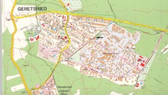
Geretsried Map
Street map of Geretsried
125 miles away
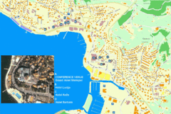
Portorož Lodging Map
125 miles away
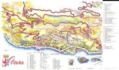
Stresa Map
125 miles away

Ravenna Map
126 miles away
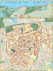
Ravenna Street Map
Street map of central Ravenna, Italy.
126 miles away
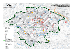
Triglav National Park Map
Triglav National Park is the only Slovenian national park. The park was named after Triglav, the...
126 miles away
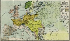
Extinction of France Map 1918
Shows pan-German scheme for the Extinction of France, 1918. As given in "Frankreich's...
128 miles away

Andermatt (Hospental) Ski Trail Map
Trail map from Andermatt (Hospental).
128 miles away
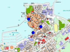
Izola Slovenia Parking map
Parking places in Izola (blue sign - payable parking, white sign - free parking).
128 miles away
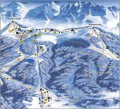
Arnoldstein—Dreiländereck Ski Trail Map
Trail map from Arnoldstein—Dreiländereck, which provides downhill skiing. It has 8 lifts. This...
128 miles away
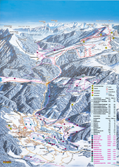
Reit im Winkl Ski Trail Map
Trail map from Reit im Winkl.
128 miles away
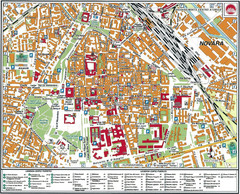
Novara Map
128 miles away
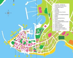
Novigrad Tourist Map
Tourist map of Novigrad, Croatia. Shows points of interest.
129 miles away
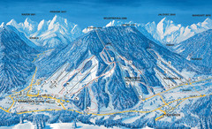
Kranjska Gora Ski Trail Map
Ski trail map of Kranjska Gora ski area.
130 miles away
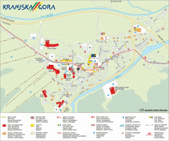
Kranjska Gora town map
Blurb from town website: The Zgornjesavska Valley is one of the most breathtaking alpine valleys...
130 miles away
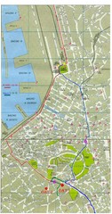
Trieste City Map
City map of Trieste with projects plans.
131 miles away
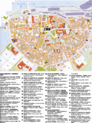
Koper Tourist Map
Tourist map of Koper, Slovenia. Shows 55 tourist sights.
131 miles away
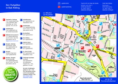
Bad Aibling Tourist Map
Tourist parking map of downtown Bad Aibling
131 miles away
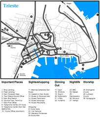
Trieste Map
131 miles away
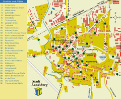
Landsberg Tourist Map
tourist map of town of Landsberg
133 miles away

Porec Tourist Map
133 miles away
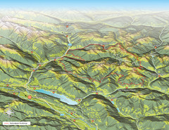
Nockberge National Park Map
Outline map of Nockberge National Park, Austria in the summer. Shows surrounding towns.
133 miles away
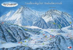
Berchtesgadener Land Ski Trail Map
Trail map from Berchtesgadener Land.
133 miles away
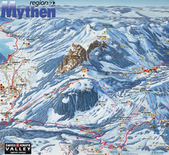
Brunni-Alpthal Ski Trail Map
Trail map from Brunni-Alpthal.
133 miles away
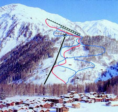
Hungerberg Ski Trail Map
Trail map from Hungerberg, which provides downhill skiing. It has 3 lifts. This ski area has its...
136 miles away
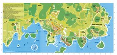
Vrsar Tourist Map
136 miles away
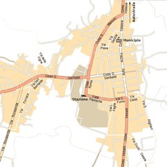
Gattinara Map
136 miles away
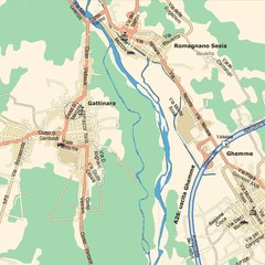
Gattinara Map
136 miles away
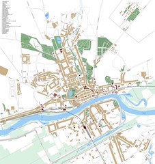
Landsberg Map
Street map of city of Landsberg
137 miles away
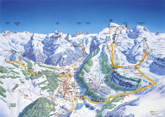
Engelberg Titlis Ski Trail Map
Trail map from Engelberg Titlis.
137 miles away
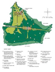
Chiemsee Island Germany Tourist Map
Tourist map of the island showing all the tourist sites.
138 miles away
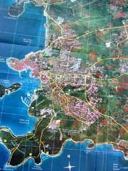
Rovinj Tourist Map
Tourist map of Rovinj, Croatia. Map is based on aerial photo.
140 miles away
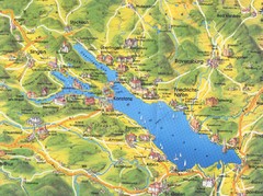
Lake Konstanz Map
140 miles away
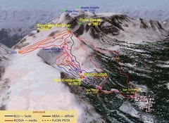
Alpe Ciamporino Ski Trail Map
Trail map from Alpe Ciamporino, which provides downhill skiing. It has 6 lifts. This ski area has...
141 miles away
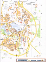
Bad Waldsee Map
Street map of Bad Waldsee
144 miles away
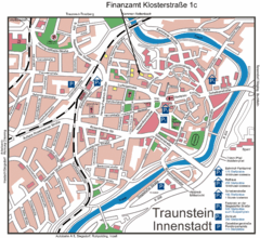
Traunstein Map
Street map of Traunstein
144 miles away
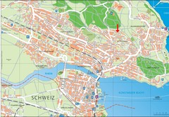
Konstanz City Map
144 miles away

