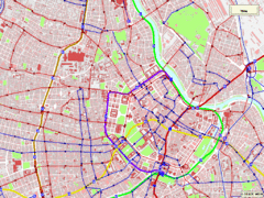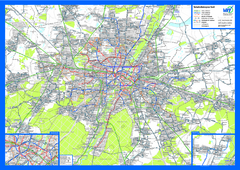
vienna public transport Map
288 miles away
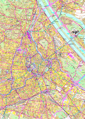
Vienna Street Map
Street map of Vienna, Austria
288 miles away
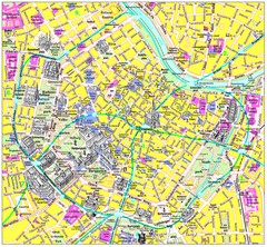
Vienna Inner City Tourist Map
Tourist map of inner city Vienna, Austria. 3D drawings of major buildings and palaces.
288 miles away
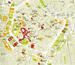
Vienna centre Map
288 miles away
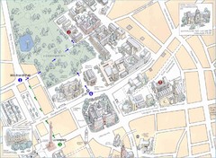
Darmstadt City Map
City map of Darmstadt, Germany. Shows major buildings and the Herrngarten.
288 miles away
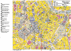
Vienna Tourist Map
Tourist street map of Vienna
288 miles away
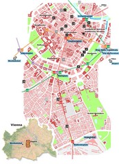
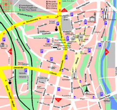
Vienna City Center Map
Map of Vienna city center
288 miles away
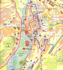
Bad Kissingen Tourist Map
Tourist map of Bad Kissingen
290 miles away
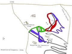
Ghisoni Ski Trail Map
Trail map from Ghisoni.
290 miles away
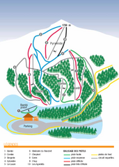
Valdrôme Ski Trail Map
Trail map from Valdrôme.
291 miles away

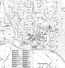
Oppenheim Map
Street map of city of Oppenheim
291 miles away
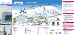
Lente Ski Trail Map
Trail map from Lente.
291 miles away
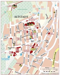
Oppenheim Altstadt Map
Street map of Altstadt area Oppenheim
291 miles away
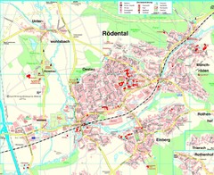
Rödental Map
Street map of city of Rödental
292 miles away
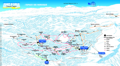
Font d’Urle Nordic Ski Trail Map
Trail map from Font d’Urle.
293 miles away
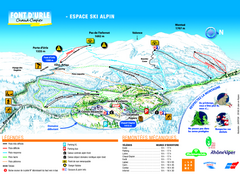
Font d’Urle Ski Trail Map
Trail map from Font d’Urle.
293 miles away
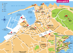
St. Tropez Tourist Map
Tourist map of Saint Tropez, France. Shows points of interest. Inset shows surrounding area.
293 miles away
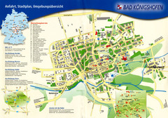
Bad Konigshofen Toursit Map
Tourist map of Bad Konigshofen
294 miles away
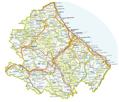
Abruzzo Province Map
295 miles away
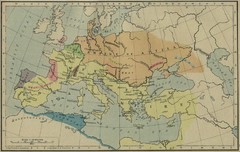
Roman Empire Map
295 miles away
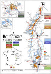
Burgandy Region Wine Districts Map
Shows wine districts of La Bourgogne region, France from Dijon to Macon.
296 miles away
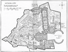
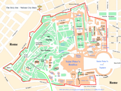
Vatican City Map
City map of Vatican City. Shows major points of interest. Scanned.
296 miles away
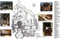
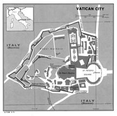
Vatican City Map
City map of Vatican City with attractions
296 miles away
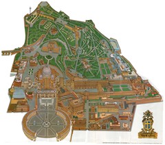
Vatican City Map
296 miles away

Val d’Allos—La Foux Ski Trail Map
Trail map from Val d’Allos—La Foux.
296 miles away
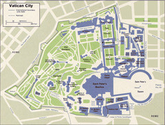
Vatican Map
296 miles away
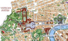
Vatican and surrounding area Map
296 miles away
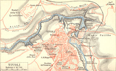
Tivoli Map
296 miles away
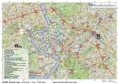
Rome Downtown Printable Map
This is the perfect printable map of Rome. Easy to use and very detailed, it includes: - all...
296 miles away
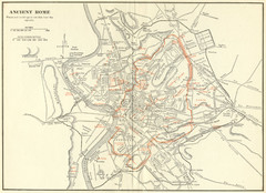
Ancient Rome Map
Shows places and buildings dating fromt he republic in red superimposed on modern day Rome
296 miles away
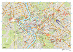
Rome Buildings Map
Map of Rome, Italy center. Shows major streets and buildings. Neighborhoods also shown.
296 miles away
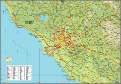
Rome Province Map
Road and physical map of the province of Rome, Italy. Shows towns represented by orange blocks...
296 miles away

