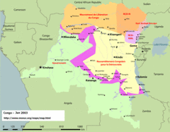
Congo Map
Cities, capitols, borders and more are clearly marked on this map.
0 miles away
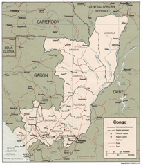
Congo 1986 Guide Map
0 miles away
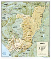
Congo Physical Relief Map
Physical relief map of the Republic of the Congo. Shows major roads and cities.
0 miles away
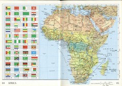
Africa Flag Map
Physical map of Africa with flag legend for all countries. Scanned.
86 miles away
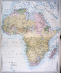
Africa Map 1885
Shows Africa with pre-colonial boundaries demarcated at the Berlin Conference of 1885.
86 miles away
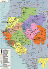
Gabon Regional Map
Guide to the regions of Gabon
246 miles away
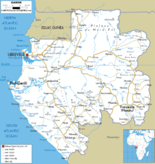
Gabon road Map
258 miles away
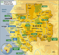
Gabon National Park Map
Guide to the national parks of Gabon in Africa
274 miles away
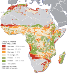
Projected climate change impacts for agriculture...
Africa is one of the regions that will be hit the hardest by climate change, and it will likely...
279 miles away
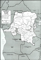
Republic of the Congo 1964 Military Map
Map of the military situation with a hostage crisis in 17 July 1964. Map shows rebel forces and...
280 miles away
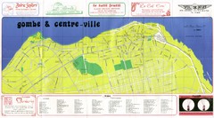
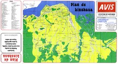
Kinshasa Gombe and Centreville Tourist Map
Tourist map of Gombe and Centreville in Kinshasa. Shows streets and points of interest. In French...
284 miles away
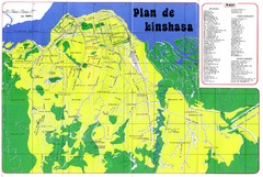
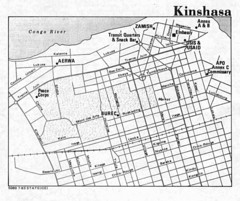
Kinshasa Overview Map
Overview map of Kinshasa, Democratic Republic of Congo shows major streets.
287 miles away
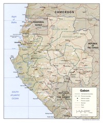
Gabon physical Map
294 miles away
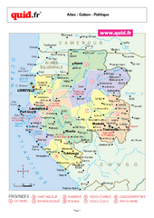
Gabon Regional Map
Map of Gabon with detail of regional divides
294 miles away
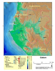
Gabon Shaded Relief Map
Shaded relief map of Gabon. Shows airports, railroads, roads, and cities.
294 miles away
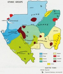
Gabon ethnic groups Map
295 miles away
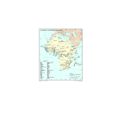
Economic Commission for Africa Map
Map of Economic Commission for Africa with detail of member-countries
295 miles away
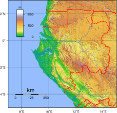
Gabon Topography Map
303 miles away
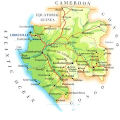
Gabon Map
307 miles away
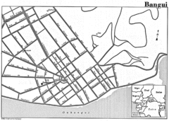
Bangui Road Map
Road map of Bangui city in the Central African Republic.
371 miles away
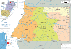
Equatorial Guinea Political Map
387 miles away
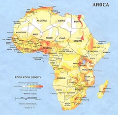
Africa Population Map
Map of population densities throughout Africa
398 miles away
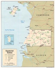
Equatorial Guinea Map
Guide to the African country of Equitorial Guinea
398 miles away
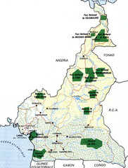
Cameroon parks Map
403 miles away
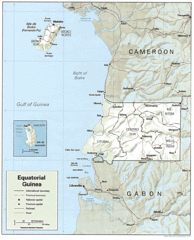
Equatorial Guinea Guide Map
406 miles away
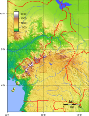
Cameroon topographical Map
412 miles away
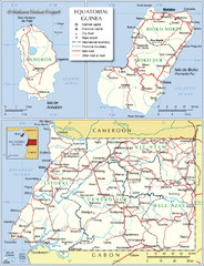
Equatorial Guinea Admin. Map
412 miles away
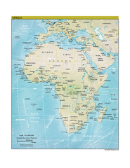
Africa CIA world factbook Map
420 miles away
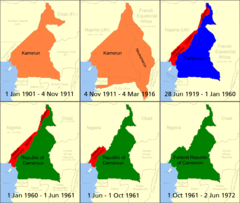
Cameroon boundary changes Map
428 miles away
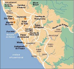
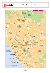
Libreville City Map
Simple map marking towns and roads.
443 miles away
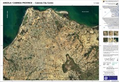
Cabinda City Map
Topo city map of central Cabinda, Angola. Shows points of interest.
446 miles away
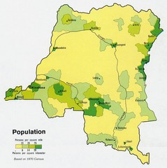
Zaire Population Map
This map clearly marks the distribution of Zaire's population.
487 miles away
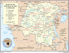
Democratic Republic of Congo Map
Overview map of the Democratic Republic of Congo (DRC).
487 miles away
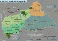
Central African Republic Regions Map
520 miles away
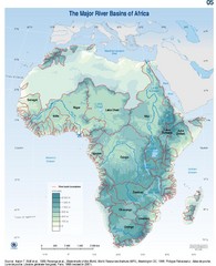
Africa River Basin Map
Guide to the major river basins of Africa
545 miles away
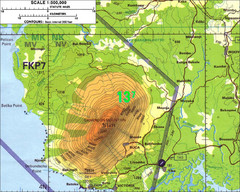
Mt Cameroon Topo Map
Topographic map of Mt. Cameroon, 13,255 feet.
553 miles away

