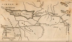
Antique map of Utica, NY from 1830
Map of Utica, NY from The Northern Traveller, and Northern Tour; with the Routes to The Springs...
169 miles away
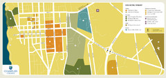
Burlington, Vermont City Tourist Map
The city of Burlington, Vermont
169 miles away
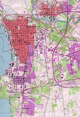
Burlington Vt 87 Map
Topographical map of the city of Burlington, Vt.
169 miles away

Downtown Rochester, New York Map
Tourist map of downtown Rochester, New York. Various areas of interest, parking, and streets are...
169 miles away
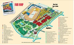
New York State Fairgrounds Map
170 miles away

Rochester, New York City Map
170 miles away
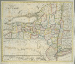
1831 Antique New York State map
The tourist's map of the state of New York : compiled from the latest authorities in the...
170 miles away

St. John Fisher College Map
Campus map
170 miles away
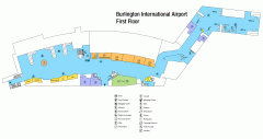
Burlington International Airport Terminal Map
Official Terminal Map of Burlington International Airport. All areas shown.
171 miles away
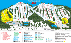
Mount St. Louis/ Moonstone Ski Trail Map
Trail map from Mount St. Louis/ Moonstone, which provides downhill skiing. This ski area has its...
171 miles away
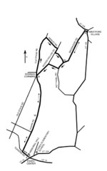
30K Race Course Map
Green Mountain Athletic Association Common to Common 30K Course Map in Essex Junction, VT
172 miles away
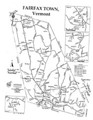
Fairfax Town Map
172 miles away

Georgina Historic Lakeshore Communities Map
173 miles away
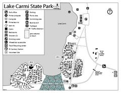
Lake Carmi State Park Campground Map
Capground of Lake Carmi State Park in Vermont
173 miles away
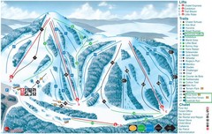
Heights of Horseshoe Ski Trail Map
Trail map from Heights of Horseshoe, which provides downhill skiing. This ski area has its own...
173 miles away
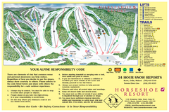
Horseshoe Resort Ski Trail Map
Trail map from Horseshoe Resort, which provides downhill and nordic skiing. This ski area has its...
173 miles away
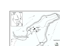
Kingsland Bay State Park Map
Campground map for Kingsland Bay State Park in Vermont
174 miles away
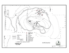
Mt. Philo State Park Campground Map
Campground map for Mt. Philo State Park in Vermont
174 miles away
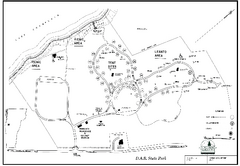
D.A.R. State Park map
Map of D.A.R. State park in Vermont
174 miles away
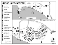
Button Bay State Park Campground Map
Campground map of Button Bay State Park in Vermont
174 miles away
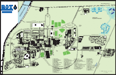
Rochester Institute of Technology Campus Map
Map of RIT campus.
175 miles away
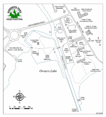
Emerson Park Map
175 miles away
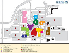
Georgian College Map
177 miles away
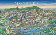
Montreal Downtown pictorial Map
Pictorial illustration of Downtown Montreal
177 miles away
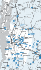
Chittenden County Map
177 miles away

Marcellus Snowmobile Trail Map
Map of snowmobile trails throughout Marcellus area
178 miles away
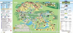
Toronto Zoo Map
Official map of the Toronto Zoo
179 miles away
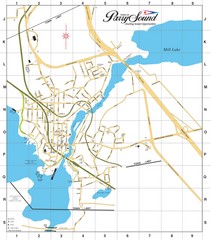
Parry Sound Town Map
179 miles away
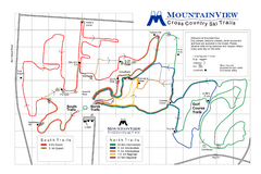
Mountain View Nordic Ski Trail Map
Trail map from Mountain View, which provides downhill and nordic skiing. This ski area has its own...
181 miles away
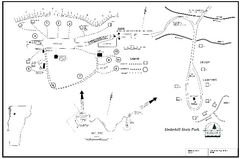
Underhill State Park Campground Map
Campground map for Underhill State Park in Vermont.
181 miles away
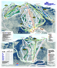
Ski Bromont Ski Trail Map
Trail map from Ski Bromont, which provides downhill skiing. This ski area has its own website.
181 miles away
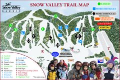
Ski Snow Valley Barrie Ski Trail Map
Trail map from Ski Snow Valley Barrie, which provides downhill skiing. This ski area has its own...
181 miles away
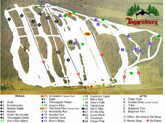
Toggenburg Ski Center Ski Trail Map
Trail map from Toggenburg Ski Center.
182 miles away
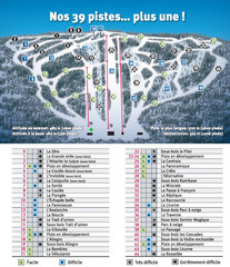
Ski Mont Shefford Ski Trail Map
Trail map from Ski Mont Shefford, which provides downhill skiing. This ski area has its own website.
182 miles away
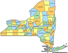
New York Counties Map
183 miles away
Fort Ticonderoga 1777 Map
183 miles away
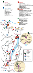
Canadaigua Wine Trail Map
Map of the Canadaigua Wine Map in Canadaigua, New York. Shows all wineries and vineyards in the...
183 miles away
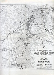
Mount Mansfield Map
Long Trail map for Green Mountains in Vermont
184 miles away

Song Mountain Ski Trail Map
Trail map from Song Mountain.
184 miles away
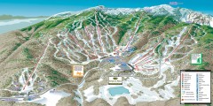
Stowe ski trail map 2006-07
Complete ski trail map of Stowe Mountain resort for 2006-2007 season.
185 miles away

