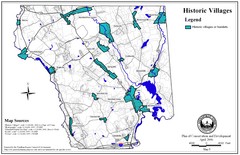
Historic Villages of Mansfield, Connecticut Map
Historical villages outlined on the map of the existing city.
330 miles away
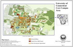
University of Connecticut Campus Map
Map shows current, funded projects and future development for UConn.
330 miles away
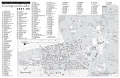
Penn State - University Park Campus Map
Official campus map of the Penn State University Park Campus, 2007-08. Located in the heart of...
330 miles away
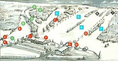
Tussey Mountain Ski Trail Map
Trail map from Tussey Mountain.
330 miles away
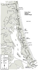
Parker River Map
Map of Parker River National Wildlife Refuge for birdlife
330 miles away
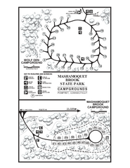
Mashamoquet Brook State Park campground map
Campground map of Mashamoquet Brook State Park in Connecticut.
331 miles away
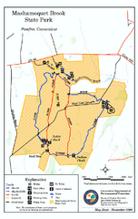
Mashamoquet Brook State Park trail map
Trail map of Mashamoquet Brook State Park in Connecticut.
331 miles away

Reeds Gap State Park map
Detailed recreation map of Reeds Gap State Park in Pennsylvania
331 miles away
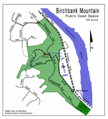
Birchbank Park Map
Several miles of moderately difficult trails along the Housatonic River bluff, including the...
331 miles away
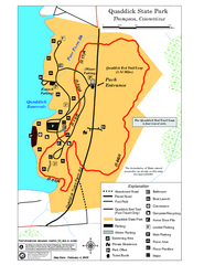
Quaddick State Park Trail Map
331 miles away
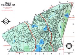
Winchester Town Map
331 miles away
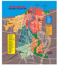
Ashtabula Tourist Map
Tourist map of Ashtabula, Ohio, situated on Lake Erie. Shows wards, notable sites, boating info...
331 miles away
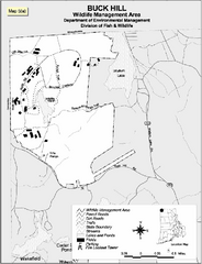
Buck Hill Wildlife Management Area Map
331 miles away
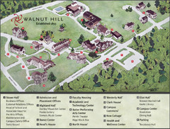
Walnut Hill School Map
Campus Map
331 miles away
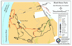
Hurd State Park trail map
Trail map for Hurd State Park in Connecticut.
331 miles away
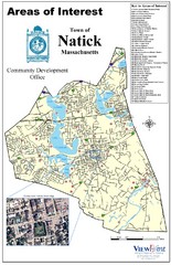
Natick Areas Of Interest Map
Shows points of interest in town of Natick, Massachusetts. Inset of downtown Natick.
331 miles away
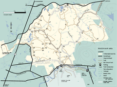
Willowdale State Forest map of Pine Swamp
Trail map of the Pine Swamp area of Willowdale State Park in Massachusetts.
332 miles away
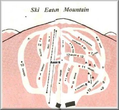
Eaton Mountain Ski Area Ski Trail Map
Trail map from Eaton Mountain Ski Area.
332 miles away
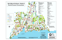
South Central Connecticut Recreational Trail Map
Map of South Central Connecticut showing all recreational trails and open spaces.
332 miles away
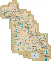
Blackstone Valley tourist map
Tourist map of the Blackston Valley in Rhode Island and Massachusetts. Shows hiking, biking, and...
332 miles away
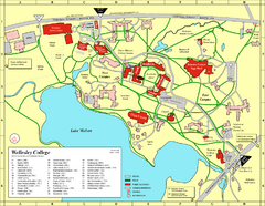
Wellesley College campus map
2008 Wellesley College campus map
333 miles away
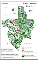
2002 Windham Region Land Use Map
Regional Land Use Guide Map for Planning Purposes
333 miles away
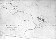
1870s Map of Wellesley College
General plan of college grounds, 1870s.
333 miles away

Salmon River State Forest trail map
Trail map for Salmon River State Forest in Connecticut.
333 miles away
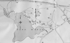
1899 Map of Wellesley College
After College Hall, the original site of Wellesley's faculty, students, classrooms, and...
333 miles away
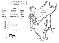
Pulaski State Park Map
333 miles away

Penn-Roosevelt State Park map
Recreation map for Penn Roosevelt State Park in Pennsylvania
333 miles away
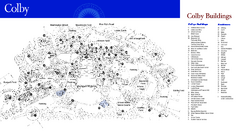
Colby College Campus Map
Official map of the Colby College campus. Colby's campus, on 714 acres overlooking the city...
333 miles away
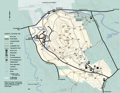
Bradley Palmer State Park summer map
Summer use map of Bradley Palmer State Park in Massachusetts
333 miles away
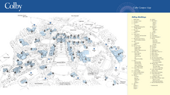
Colby College Campus Map
Official map of the Colby College campus. Colby's campus, on 714 acres overlooking the city of...
333 miles away
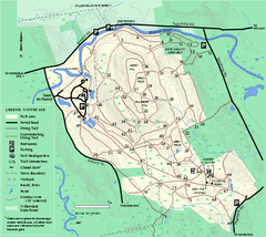
Bradley Palmer State Park winter map
Winter trail map of Bradley Palmer State Park.
333 miles away
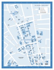
Yale University Campus North Map
Yale University Campus Map - North Campus, including School of Forestry & Environmental Studies...
333 miles away
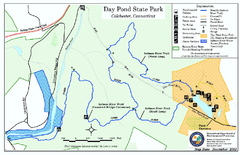
Daypond State Park map
Trail map for Day Pond State Park
333 miles away
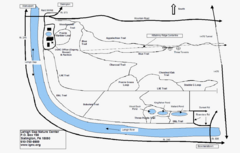
Trails Around Lehigh, PA Map
333 miles away
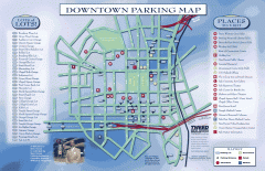
Downtown New Haven Parking Map
Shows locations of all town parking lots and also points of interest
333 miles away
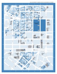
Yale University Campus South and Medical Center...
Yale University Campus South and Medical Center, including the Hewitt Quad, Cross Campus, Old Campus
333 miles away

Yale University Map
333 miles away
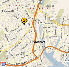
Bridgeport, Connecticut City Map
334 miles away

Downtown Morriston Map
334 miles away
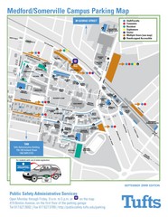
Medford Campus Map
Clear map indicating buildings and parking areas.
334 miles away

