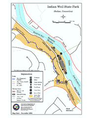
Indian Well State Park map
Trail map for Indian Well State Park in Connecticut.
326 miles away
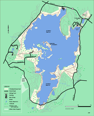
Whitehall State Park trail map
Trail map of Whitehall State Park in Massachusetts.
326 miles away
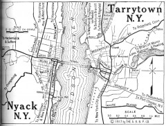
Antique map of Nyack and Tarrytown from 1917
Map of Nyack and Tarrytown, NY from Automobile Blue Book, 1917, Vol. 3
326 miles away
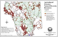
Mansfield Conservation and Development Map
Guide to Agricultural, Forestry and Natural Diversity Resources
326 miles away
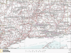
Connecticut Canoeing and Kayaking Lakes Map
A map of the lakes and ponds that are open for canoeing and kayaking in Connecticut. For detailed...
326 miles away

Mansfield Cemetery Map
326 miles away
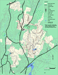
Upton State Forest trail map
Trail map for Upton State Forest in Massachusetts.
326 miles away
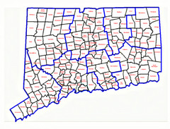
Connecticut Town Map
326 miles away
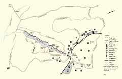
Purgatory Chasm State Reservation trail map
Trail map of Purgatory Chasm State Reservation in Massachusetts.
327 miles away
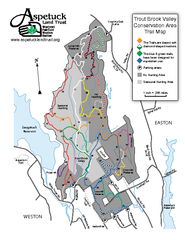
Trout Brook Valley Map
327 miles away
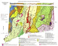
Connecticut Geologic Map
Geologic map of Connecticut bedrock. Shows shaded terranes, fault lines, and Mesozoic formations.
327 miles away
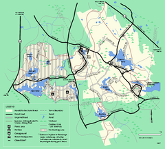
Harold Parker State Forest trail map
Trail map of Harold Parker State Forest in Massachusetts
327 miles away
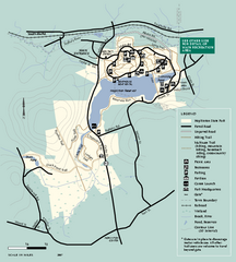
Hopkinton State Park trail map
Trail map of Hopkinton State Park in Massachusetts
327 miles away
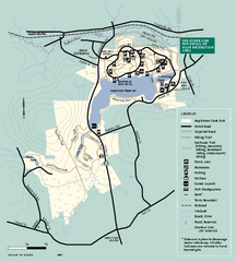
Hopkinton State Park trail map
Trail map of Hopkinton State Park in Massachusetts
327 miles away
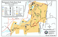
Wadsworth Falls State Park map
Trail map of Wadsworth Falls State Park in Connecticut.
327 miles away
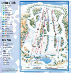
Powder Ridge Ski Area Ski Trail Map
Trail map from Powder Ridge Ski Area.
327 miles away
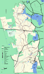
Douglas State Forest trail map
Trail map of the Douglas State Forest in Massachusetts
327 miles away
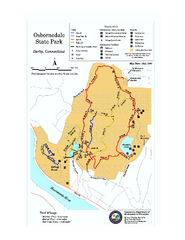
Osbornedale State Park map
Trail map of Osborndale State Park in Connecticut.
327 miles away
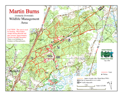
Downfall/Martin Burns WMA Map
327 miles away
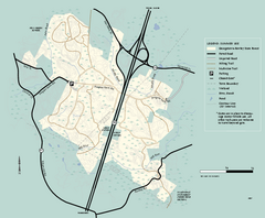
Georgetown-Rowley State Forest summer use map
Summer use map for Georgetown-Rowley State Forest.
327 miles away
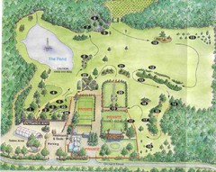
Newbury Perrenial Gardens Guide Map
328 miles away
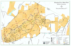
Sleeping Giant State Park map
Trail map for Sleeping Giant State Park in Connecticut.
328 miles away
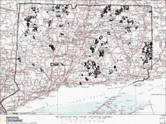
Connecticut State Forests Map
This is a map of all of the state forest boundaries in Connecticut. Follow the source web address...
328 miles away
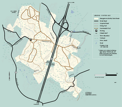
Georgetown-Rowley State Forest winter use map
Winter use map for the Georgetown-Rowley State Forest in Massachusetts.
328 miles away
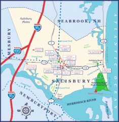
Salisbury Town Map
328 miles away
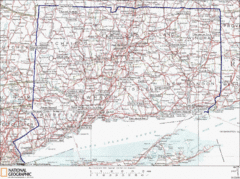
Connecticut State Parks Map
This is statewide map for Connecticut state parks. Go to the source website for detailed hiking...
328 miles away
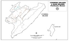
Cushing Island Map
Also shows Ram Island
328 miles away
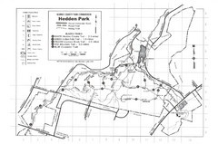
Hedden Park Map
Hedden County Park Trail Map
328 miles away
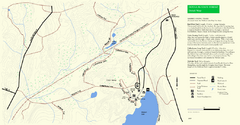
Douglas State Park Detail Map
328 miles away
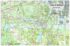
Ashland, MA - Topo Map
Map is provided by the town of Ashland, MA. See town's website for additional maps and...
328 miles away
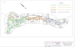
Town of Lexington Historic Districts Map
Identifies the 4 historical districts of Lexington, Massachusetts.
328 miles away
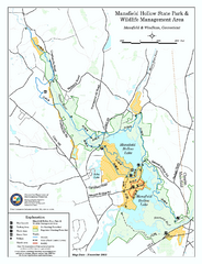
Mansfield Hollow State Park map
Map for Mansfield Hollow State Park and Wildlife Management Area in Connecticut.
328 miles away
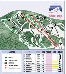
Mont-Bélu Ski Trail Map
Trail map from Mont-Bélu.
328 miles away
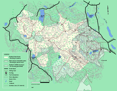
Boxford State Park trail map
Trail map of Boxford State Forest in Massachusetts
328 miles away
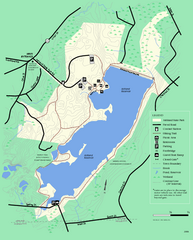
Ashland State Park Map
Clear map and legend marking trails, parking, facilities and more.
329 miles away
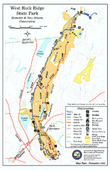
West Rock Ridge State Park map
Trail map of West Rock Ridge State Park in Connecticut.
329 miles away
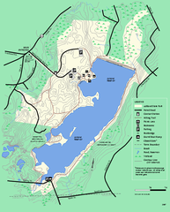
Ashland State Park Map
Map of Ashland State Park in Massachusetts.
329 miles away

Pennsylvania State University - University Park...
Campus map of Pennsylvania State University - University Park. All buildings shown.
330 miles away
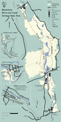
Heritage State Park Map
Clear state park map marking trails and facilities.
330 miles away
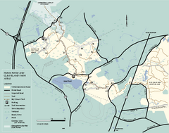
Willowdale State Forest map of Hood Pond
Trail map of the Hood Pond area of the Willowdale State Park in Massachusetts.
330 miles away

