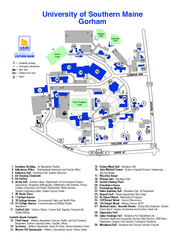
University of Southern Maine - Gorham Map
315 miles away

Clear Creek State Park map
Detailed map of Clear Creek State Park in Pennsylvania
316 miles away
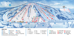
Nashoba Valley Ski Area Ski Trail Map
Trail map from Nashoba Valley Ski Area.
316 miles away
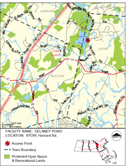
Delaney Conservation Land Map
316 miles away
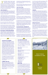
Mt. Pisgah Map - Northboro, Berlin, Boylston Mass
316 miles away
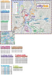
Citylink Route Map
Map of citylink bus routes throughout Auburn and Lewiston, Maine
316 miles away
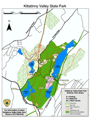
Kittatinny Valley State Park trail map
Trail map of Kittatinny Valley State Park in New Jersey. Shows hunting areas and trails.
316 miles away
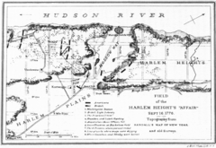
Harlem Hieghts Affair Map
Topography of the field during the battle on Sept 16 1776
316 miles away

Cook Forest State Park map
Detailed trail map of Cook Forest State Park in Pennsylvania
317 miles away
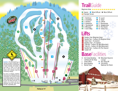
Mt. Southington Ski Area Ski Trail Map
Trail map from Mt. Southington Ski Area, which provides downhill, night, and terrain park skiing...
317 miles away
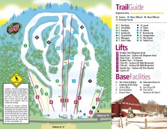
Mount Southington Ski Trail Map
Official ski trail map of Mount Southington ski area from the 2007-2008 season.
317 miles away
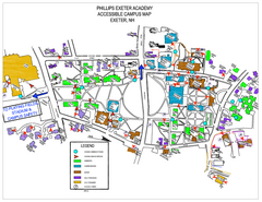
Phillips Exeter Academy Campus Map
Phillips Exeter Academy Campus Map
317 miles away
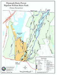
Bigelow Hollow State Park trail map
Trail map of Bigelow Hollow State Park in Connecticut.
317 miles away
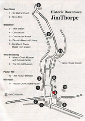
Jim Thorpe Tourist Map
Tourist map of historic Jim Thorpe, Pennsylvania. Scanned from a tourist brochure
318 miles away
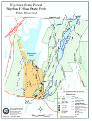
Nipmuck State Forest trail map
Trail map of Nipmuck State Forest and Bigelow Hollow State Park in Connecticut.
318 miles away
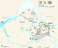
Lowell National Historical Park Official Map
Official NPS map of Lowell National Historical Park in Lowell, Massachusetts. Map shows all of...
318 miles away

Beltzville State Park map
Detailed recreation map for Beltzville State Park in Pennsylvania
318 miles away
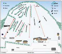
Ski Ward Ski Trail Map
Trail map from Ski Ward.
318 miles away
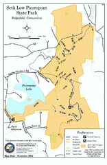
Seth Low Pierrepont State Park Reserve map
Trail map of Seth Low Pierreport State Park in Connecticut.
318 miles away
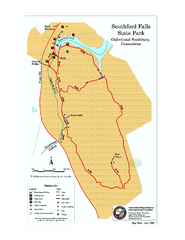
Southford Falls State Park map
Trail map for Southford Falls State Park in Connecticut.
319 miles away

S. B. Elliott State Park map
Detailed recreation map for S. B. Elliott State Park in Pennsylvania.
319 miles away
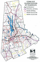
Connecticut Roadway Classification Map
319 miles away
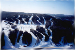
Mont Fortin Ski Trail Map
Trail map from Mont Fortin. This ski area has its own website.
319 miles away
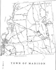
Madison Town Map
319 miles away
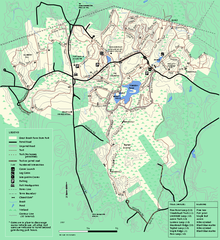
Great Brook Farm State Park trail map
Trail map of Great Brook Farm State Park.
319 miles away
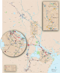
New Hampshire Transit Map
Guide to COAST and Wildcat Transit lines in New Hampshire
319 miles away
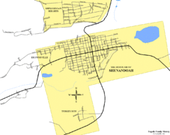
Shenandoah, Pennsylvania Map
319 miles away
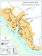
Kettletown State Park trail map
Trail map for Kettletown State Park in Connecticut.
319 miles away
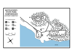
Kettletown State Park campground map
Campground map for Kettletown State Park in Connecticut.
320 miles away
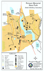
Putnam Memorial State Park map
Trail map for Putnal Memorial State Park in Connecticut,
320 miles away
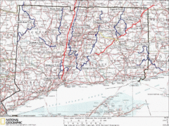
Connecticut Long Distance Trails Map
A map of long distance trails throughout Connecticut. Go to the website below for detailed trail...
320 miles away
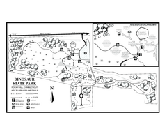
Dinosaur State Park map
Trail map of Dinosaur State Park in Connecticut.
321 miles away
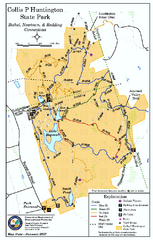
Collis P. Huntington State Park map
Trail map of Collis P. Huntington State Park in Connecticut
321 miles away
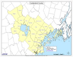
Cumberland County Map
Map showing all city divisions of Cumberland County, Maryland with specific location of the CPCOG.
321 miles away

Tuscarora State Park Map
Detailed recreation map for Tuscarora State Park in Pennsylvania
321 miles away
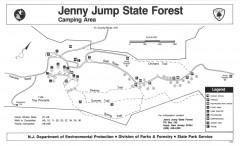
Jenny Jump State Forest map
Trail and camping map of Jenny Jump State Forest in New Jersey.
321 miles away
Greater Merrimack Valley, Massachusetts Map
Tourist map of greater Merrimack Valley, Massachusetts. Lodging, forests, and other points of...
322 miles away
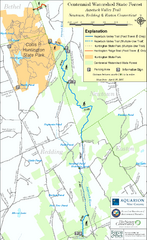
Centennial Watershed State Forest trail map
Trail map of Centennial Watershed State Forest in Connecticut
322 miles away

Locust Lake State Park map
Detailed map of Locust Lake State Park in Pennsylvania
322 miles away
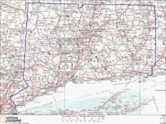
Connecticut Rock Climbing Locations Map
A map of most of the important rock climbing and bouldering areas in Connecticut. Click the link...
322 miles away

