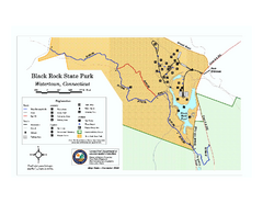
Black Rock State Park trail map
Trail map of Black Rock State Park in Connecticut.
308 miles away
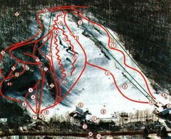
Woodbury Ski Area Ski Trail Map
Trail map from Woodbury Ski Area, which provides downhill, night, nordic, and terrain park skiing...
308 miles away
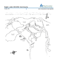
Eagle Lake Conservation Area Map
308 miles away
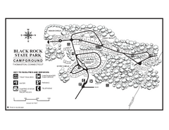
Black Rock Campground map
Map of the Campgrounds in Black Rock State Park.
308 miles away

Mountain Creek South Ski Trail Map
Trail map from Mountain Creek.
308 miles away
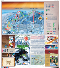
Mountain Creek North Ski Trail Map
Trail map from Mountain Creek.
308 miles away
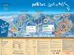
Mountain Creek Ski Trail Map
Official ski trail map of Mountain Creek ski area from the 2007-2008 season. (formerly Vernon...
309 miles away

Hidden Valley Ski Trail Map
Trail map from Hidden Valley.
309 miles away
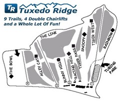
Tuxedo Ridge Ski Trail Map
Trail map from Tuxedo Ridge.
309 miles away
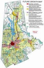
Danbury Regional Growth Map
Guide to future growth of Danbury, CT and surrounds
309 miles away
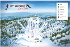
Mount Dufour Ski Trail Map
Trail map from Mount Dufour, which provides downhill skiing. This ski area has its own website.
309 miles away
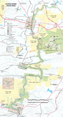
Lehigh Gorge State Park Map
Detailed recreation map for Lehigh Gorge State Park in Pennsylvania
309 miles away
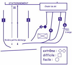
Mont Villa Saguenay Ski Trail Map
Trail map from Mont Villa Saguenay, which provides downhill skiing. This ski area has its own...
310 miles away
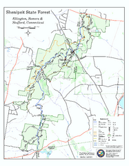
Trail map of Shenipsit State Forest
Trail map of Shenipsit State Forest in Connecticut.
310 miles away

R. B. Winter State Park map
Recreation map for R. B. Winter State Park in Pennsylvania
310 miles away
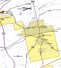
Hazelton Street Map
Clear and descriptive road map.
311 miles away
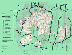
Brimfield State Forest trail map
Trail map of Brimfield State Forest in Massachusetts
311 miles away
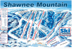
Shawnee Mountain Ski Trail Map
Trail map from Shawnee Mountain.
311 miles away
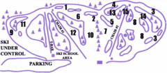
Lost Valley Ski Area Ski Trail Map
Trail map from Lost Valley Ski Area.
311 miles away
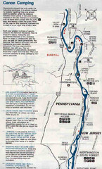
Deleware River Boat Map
311 miles away
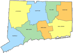
Connecticut Counties Map
312 miles away
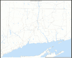
Connecticut Zip Code Map
Check out this Zip code map and every other state and county zip code map zipcodeguy.com.
312 miles away
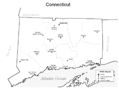
Conneticut Airports Map
312 miles away
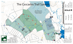
Cascades Park Map
312 miles away
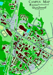
University of New Hampshire Campus Map
University of New Hampshire Campus Map
312 miles away
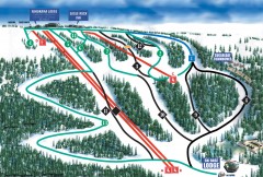
Eagle Rock Ski Trail Map
Official ski trail map of Eagle Rock Resort ski area from the 2007-2008 season.
312 miles away
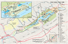
Bald Eagle State Park map
Detailed trail map of Bald Eagle State Park in Pennsylvania.
312 miles away

Parker Dam State Park Map
Detailed recreation map of Parker Dam State Park in Pennsylvania
312 miles away
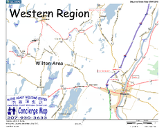
Western Maine, USA Map
Maine Coast Welcome Center's local Map of Western Maine with recommended business locations.
312 miles away
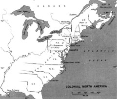
Colonial North America - 1689-1783 Historical Map
312 miles away
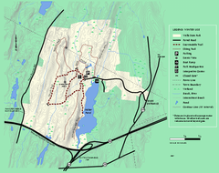
Wells State Park winter trail map
Winter use trail map of Wells State Park in Massachusetts.
312 miles away
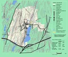
Wells State Park trail map
Trail map of Wells State Park in Massachusetts.
312 miles away
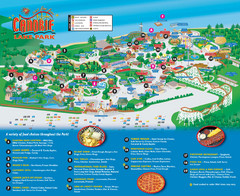
Canobie Lake Park Map
312 miles away
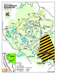
Blue Mountain Reservation Mountain Bike Trail Map
Mountain biking map of the Blue Mountain Reservation from the Westchester Mountain Biking...
313 miles away
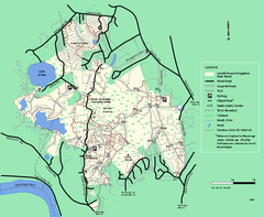
Lowell-Dracut-Tyngsboro State Forest trail map
Trail map for the Lowell-Dracut-Tyngsboro State Forest in Massachusetts
314 miles away

Wadsworth Athenium Museum Location Map
Wadsworth Athenium visitor location map with locations of major buildings, streets, parks, and...
314 miles away
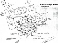
Rockville High School Map
Hand-drawn map of Rockville High School includes all buildings, Parking Lots, and sports fields.
314 miles away
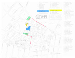
Worcester Polytechnic Institute Campus Map
Map of Worcester Polytechnic Institute. Includes all buildings, parking, streets, and location of...
315 miles away
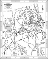
Middlebury, Connecticut Map
315 miles away
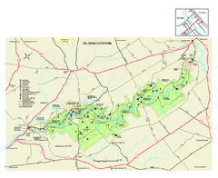
Oil Creek State Park map
Detailed recreation map for Oil Creek State Park in Pennsylvania
315 miles away

