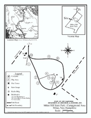
Milan Hill State Park Campground map
Campground map for Milan Hill State Park in New Hampshire.
258 miles away
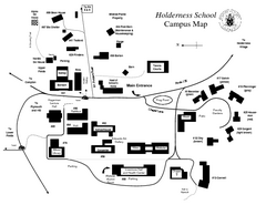
Holderness School Campus Map
A Campus Map of the Holderness School
258 miles away
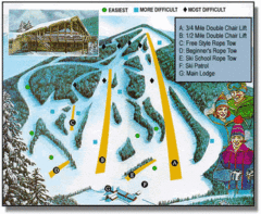
Bousquet Ski Area Ski Trail Map
Trail map from Bousquet Ski Area.
259 miles away
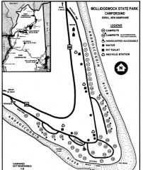
Mollidgewock State Park map
Campground map of Mollidgewock State Park in New Hampshire.
259 miles away
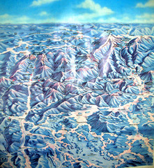
White Mountains New Hampshire Map
Old bird's eye view map of the White Mountain region of New Hampshire by Frank Thomas. Date of...
259 miles away
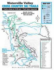
Waterville Valley Nordic Trail Map
Official nordic trail map. Over 70 kilometers (40 + miles) of groomed trails.
259 miles away
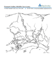
Pleasant Valley Wildlife Sanctuary Trail Map
Trail map of Pleasant Valley Wildlife Sanctuary
260 miles away
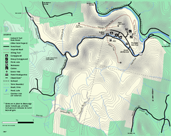
Mohawk Trail State Forest map
Map of the Mohawk Trail State Forest in Charlemont, Massachusetts.
260 miles away
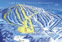
Elk Mountain Ski Trail Map
Trail map from Elk Mountain.
260 miles away
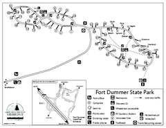
Fort Dummer State Park Campground Map
Campground map of Fort Dummer State Park in Vermont
260 miles away
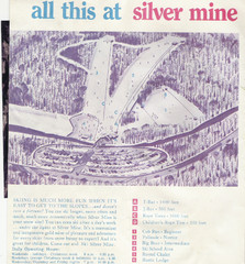
Silver Mine Credit to chris lundquist Ski Trail...
Trail map from Silver Mine, which provides downhill skiing.
260 miles away
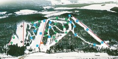
Cockaigne Ski Resort Ski Trail Map
Trail map from Cockaigne Ski Resort.
260 miles away
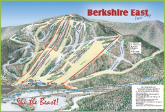
Berkshire East Ski Area Ski Trail Map
Trail map from Berkshire East Ski Area.
261 miles away
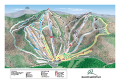
Ragged Mountain Ski Trail Map
Trail map from Ragged Mountain.
261 miles away
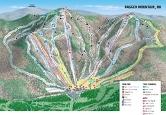
Ragged Mountain Ski Trail Map
Trail map from Ragged Mountain.
261 miles away
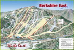
Berkshire East Ski Trail Map
Official ski trail map of Berkshire East ski area from the 2007-2008 season.
261 miles away
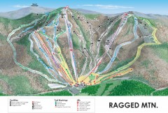
Ragged Mountain Ski trail Map
Official ski trail map of Ragged Mountain ski area from the 2007-2008 season.
261 miles away
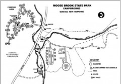
Moose Brook State Park map
Campground map of Moose Brook State Park in New Hampshire.
261 miles away

Camp Morgan Trail Map
262 miles away
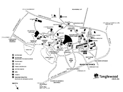
Tanglewood Map
Detailed map of the Tanglewood grounds that includes the location of the Box Office, Friends Office...
262 miles away
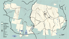
Kenneth Dubuque Memorial State Park trail map
Trail map of the Kenneth Dubuque state park conservation area in Massachusetts.
262 miles away
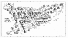
Lenox Village Map
Hand-drawn village map of historic center of Lenox, Massachusetts
262 miles away
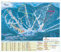
Stoneham Ski Resort Ski Trail Map
Trail map from Stoneham Ski Resort, which provides downhill skiing. This ski area has its own...
262 miles away
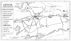
Lenox Town Map
Hand-drawn town map of Lenox, Mass. Bordered by Lenox Mountain and October Mountain. Shows points...
262 miles away
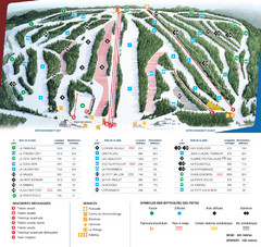
Le Relais Ski Trail Map
Trail map from Le Relais, which provides downhill skiing. This ski area has its own website.
264 miles away
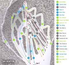
Ski Denton Ski Trail Map
Trail map from Ski Denton.
264 miles away
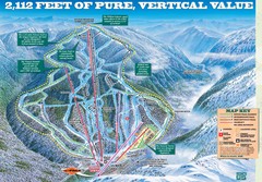
Wildcat Mountain Ski Trail Map
Trail map from Wildcat Mountain.
264 miles away
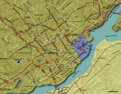
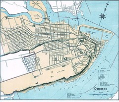
Quebec City Tourist Map
264 miles away
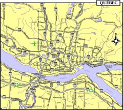
Quebec Tourist Map
264 miles away
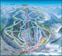
Wildcat Ski trail Map
Official ski trail map of Wildcat ski area
264 miles away

Leonard Harrison State Park Map
Detailed map for Leonard Harrison State Park in Pennsylvania.
264 miles away
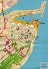
Quebec Canada Tourist Map
Tourist map of Quebec, Canada showing inside town walls, lower town and old port. Tourist sites...
264 miles away
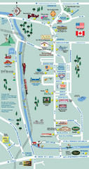
Mt. Washington Valley Restaurant Guide Map
Restaurants in Mt. Washington Valley, New Hampshire
264 miles away
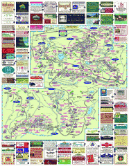
South County Berkshires map
Tourist map of Great Barrington, Housatonic, Sheffield, S. Egremont, N. Egremont Lenox, Stockbridge...
265 miles away
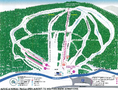
Granite Gorge Ski Trail Map
Trail map from Granite Gorge. This ski area opened in 2005.
266 miles away
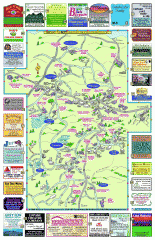
Columbia County - Boston Corners, Copake, Copake...
Tourist map of Columbia County, Mass. Includes towns of Boston Corners, Copake, Copake Falls...
266 miles away
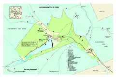
Lyman Run State Park Map
Detailed recreation map for Lyman Run State Park in Pennsylvania
266 miles away
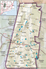
Berkshires Map
Overview map of the Berkshires region of Western Massachusetts
267 miles away
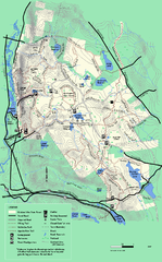
October Mountain State Forest trail map
Trail map of October Mountain State Forest in Massachusetts.
267 miles away

