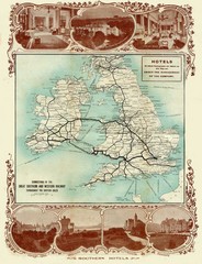
Historic United Kingdom Railroad Map
Guide to the connections of the Great Southern and Western Railways in the British Isles
0 miles away
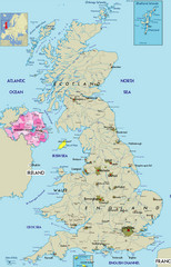
Northern Ireland Political Map
Guide to Northern Ireland and major cities in the United Kingdom
16 miles away
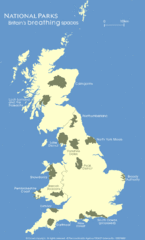
UK National Park Map
Shows locations of all national parks in the United Kingdom.
21 miles away
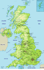
United Kingdom Physical Map
Guide to topography and physical features of Great Britain
26 miles away
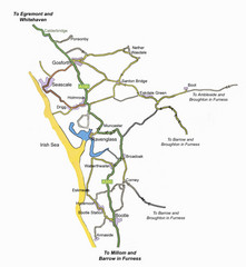
Whitehaven Wanderer Bus Route Map
31 miles away
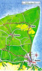
Ramsey, Isle of Man City Map
32 miles away

Blackpool Street Map
Street map of city of Blackpool, UK.
33 miles away
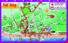
Blackpool Bus Tour Map
Blackpool Bus Tour Map - City Sightseeing
33 miles away
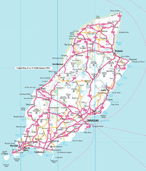
Isle of Man roads Map
34 miles away
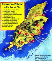
Isle of Man Railways and trams Map
34 miles away
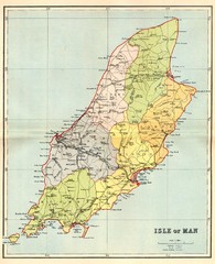
Isle of Man Map
35 miles away
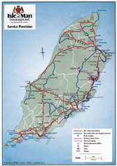
Isle of Man Transportation Map
35 miles away
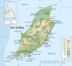
Isle of Man Topo Map
Topographical map of the Isle of Man showing roads, rail tracks, geographic features, and towns...
35 miles away
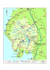
Lake District National Park Map
Detailed map marking the roads and boundaries of on of Britain's National Parks.
38 miles away
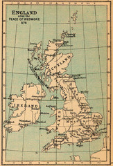
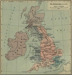
878 England Map
Guide to England after the Peace of Wedmore
40 miles away
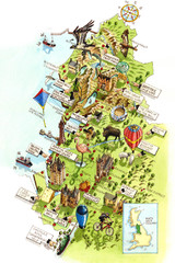
North West England Map
North West England map by Katherine Baxter
41 miles away
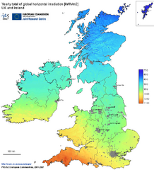
United Kingdom Solar Radiation Map
Guide to yearly total of global horizontal solar irradiation
41 miles away
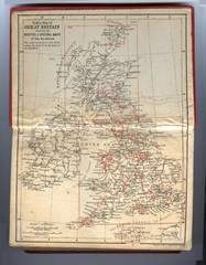
1910 Great Britain Map
43 miles away
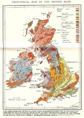
British Isles Geological Map
Old British Isles geological map
45 miles away
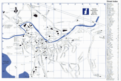
Keswick Tourist Map
Tourist map of Keswick, England. Shows all points of interest and has a street index.
45 miles away
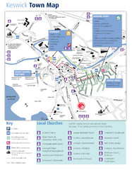
Keswick Town Map
Map of Keswick with Christian locations identified
45 miles away
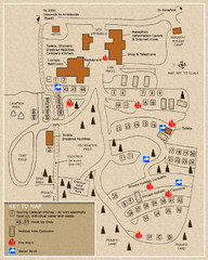
Castle Rigg Park Map
45 miles away
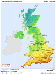
Solar radiation map of United Kingdom
Solar radiation map of UK, Global horizontal irradiation, Solar map UK
49 miles away
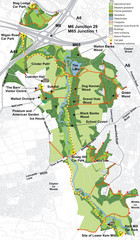
Cuerden Valley Park Map
50 miles away
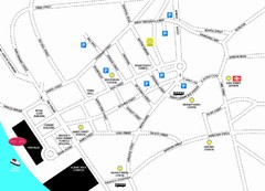
Merseytravel Headquarters Location Map
54 miles away
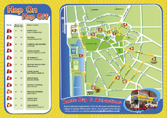
Liverpool Bus Tour Map
55 miles away
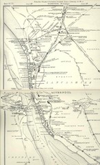
Liverpool Railway Map
Guide to historic rail lines around Liverpool
55 miles away
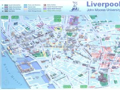
John Moores University Map
Campus map of John Moores University, Liverpool, UK
55 miles away
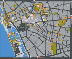
Liverpool Tourist Map
Tourist map of central Liverpool, England, UK. Shows points of interest.
55 miles away
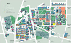
University of Liverpool Map
Campus Map
55 miles away
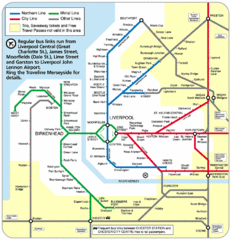
Merseyside Tube Map
55 miles away
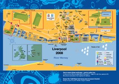
The Tall Ships Race in Liverpool Map
55 miles away
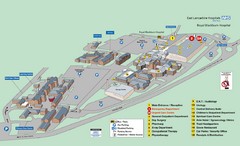
Royal Blackburn Hospital Map
Maps of Royal Blackburn
56 miles away
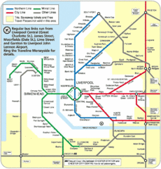
Liverpool Subway Map
Guide to Liverpool Merseyrail lines and stations
57 miles away
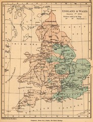
1644 England and Wales Political Map
Map showing districts held by teh King versus the Parliament during the Puritan Revolution
59 miles away
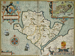
Anglesey Map
60 miles away
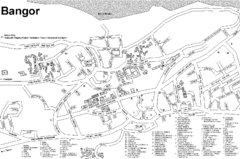
Bangor University Map
Map with numbered index to buildings on the campus of Bangor University in the United Kingdom.
60 miles away

Rossendale Hospital Map
Campus map of hospital
64 miles away
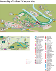
University of Salford Map
72 miles away


 Explore Maps
 Map Directory
