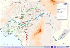
Athens Metro Map
Map of metro transit system throughout Athens
188 miles away
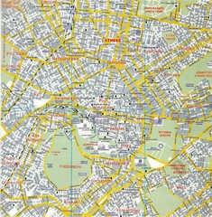
Athens Tourist Map
Tourist Map with street level detail including historical sites.
188 miles away

Hydra, Greece Tourist Map
Getting to Hydra Island
189 miles away

Pireas Hotels Map
189 miles away
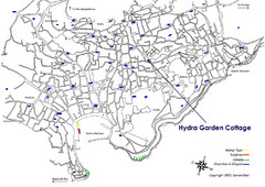
Hydra, Greece Tourist Map
Travel Directions and Map to Hydra, Greece
190 miles away
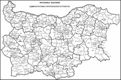
Bulgaria Tourist Map
Cities and areas in Bulgaria
194 miles away
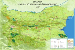
Bulgaria - natural, cultural places Map
Bulgaria - natural, cultural places
197 miles away
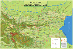
Geographical map Bulgaria
Geographical map Bulgaria in JPG and PDF
197 miles away
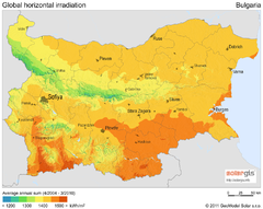
Solar Radiation Map of Bulgaria
Solar Radiation Map Based on high resolution Solar Radiation Database: SolarGIS. On the Solar Map...
197 miles away
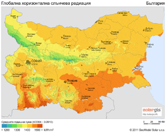
Solar Radiation Map of Bulgaria
Solar Radiation Map Based on high resolution Solar Radiation Database: SolarGIS. On the Solar Map...
197 miles away
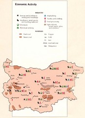
Bulgaria Economic Activity Map
Map of Bulgaria's economic activity
197 miles away
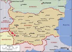
Bulgaria Tourist Map
197 miles away
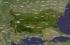
Bulgaria Satellite Map
197 miles away
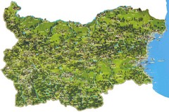
Bulgaria Sightseeing Map
Main sightseeing attractions in Bulgaria
197 miles away
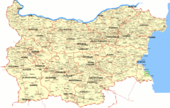
Bulgaria Tourist Map
Cities and provinces in BUlgaria
197 miles away
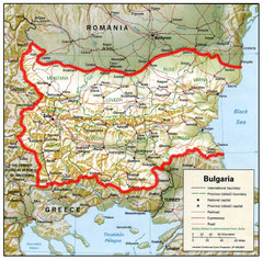
Bulgaria Map
Map of Bulgaria showing boundaries, capitals, other cities, roads and railroads.
197 miles away
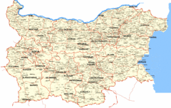
Bulgaria Cities Map
This is the map of Bulgaria with cities and towns identified.
197 miles away
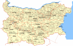
Bulgaria Map
Map of Bulgaria, including towns and villages
197 miles away
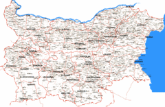
Bulgaria Road Map
Shows road routes and place names in Bulgaria
197 miles away
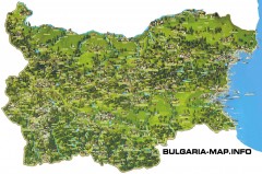
Bulgaria Tourist map
Illustrated tourist map of Bulgaria.
197 miles away
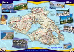
Lesvos (Lesbos) Tourist Map
Tourist map of island of Lesbos (Lesvos), Greece. In English and Greek. Shows points of interest...
199 miles away
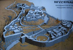
Ancient Mycenae Map
Map of Prehistoric reconstruction of edifices in Mycenae Corfu - green island of Greece
201 miles away
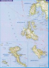
Ionian Islands Map
Overview map of the Greek Ionian Islands including Lefkada, Kefalonia, Zakynthos, Corfu, and Paxo...
202 miles away
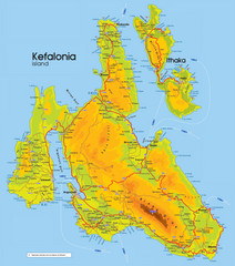
Kefalonia and Ithaka Map
Detailed elevation map of islands of Kefalonia and Ithaka (Ithaki), Greece
205 miles away
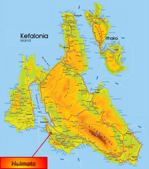
Kefalonia Map
205 miles away
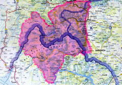
Proposed Balkans Peace Park Map
Shows the proposed Balkans Peace Park area which includes Albania to the South, Kosovo to the...
207 miles away
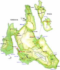
Kefalonia and Ithaka Overview Map
Overview map of the islands of Kefalonia and Ithaka (Ithaki), Greece.
207 miles away
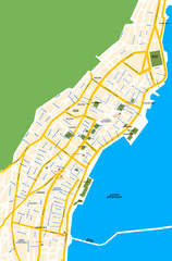
Argostoli City Map
Simple street map of island city of Argostoli, Kefalonia, Greece. Some points of interest shown.
214 miles away
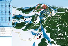
Ski Centar Kopaonik Ski Trail Map
Trail map from Kopaonik.
215 miles away
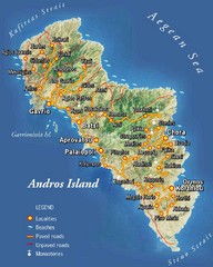
Andros Island Tourist Map
Tourist Map of Andros, Greece showing roads, towns, beaches.
216 miles away
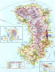
Chios Tourist Map
Tourist map of island of Chios, Greece. Shows points of interest. In Greek. Scanned.
218 miles away
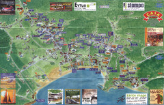
Tsilivi Tourist Map
Tourist map of town of Tsilivi, Zakynthos Island, Greece. Shows businesses. Scanned
223 miles away
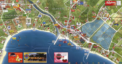
Alykanas and Alykes Map
Tourist map of Alykanas and Alykes, Zakynthos Island, Greece. Shows businesses.
224 miles away
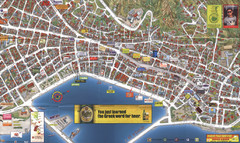
Zakynthos Town Map
Detailed tourist map of Zakynthos Town, Zakynthos Island, Greece. Shows businesses.
225 miles away
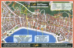
Zakynthos City Tourist Map
Tourist map of Zakynthos city on Zakynthos Island. Shows major points of interest and bus routes...
225 miles away
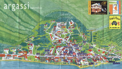
Argassi Tourist Map
Tourist map of Argassi, Zakynthos Island, Greece. Shows all businesses. Scanned.
225 miles away
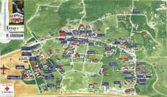
Kalamaki Zakynthos Tourist Map
Tourist map of town of Kalamaki on Zakynthos Island. Scanned.
227 miles away

