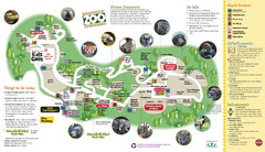
Knoxville Zoo Map
0 miles away
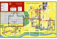
Knoxville, TN Tourist Map
3 miles away
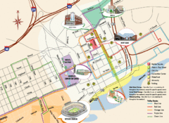
Knoxville, TN Tourist Map
3 miles away
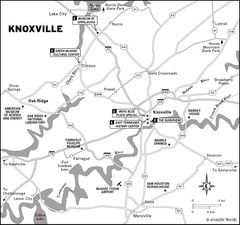
Knoxville, TN Tourist Map
3 miles away
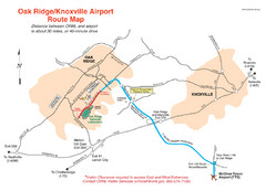
Knoxville and Oakridge Airports Map
3 miles away

Knoxville, Tennessee City Map
3 miles away
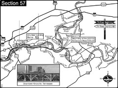
Knoxville, TN Tennessee River/Holston River...
This is the source of the Tennessee River at the confluence of the Holston River and French Broad...
3 miles away
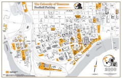
University of Tennessee Tourist Map
3 miles away
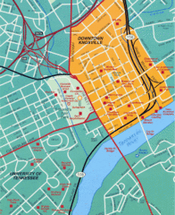
Knoxville, TN Tourist Map
3 miles away
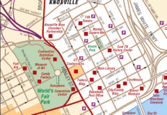
Knoxville, TN Tourist Map
3 miles away
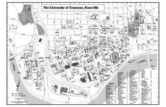
University of Tennessee Map
Campus Map of the University of Tennessee. All areas shown.
3 miles away

University of Tennessee Map
4 miles away
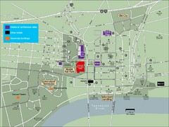
University of Tennessee Map
Map with locations of downtown Tennessee.
4 miles away
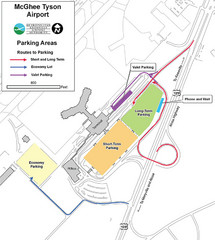
McGhee Tyson Airport Map
14 miles away
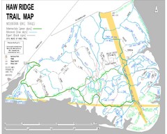
Haw Ridge Trail Map
16 miles away
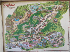
Dollywood Park Map
24 miles away
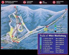
Ober Gatlinburg Ski Resort Ski Trail Map
Trail map from Ober Gatlinburg Ski Resort.
28 miles away
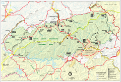
Great Smokey Mountains National Park Trail Map
Hiking trails.
30 miles away
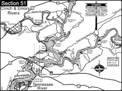
Kingston, TN Tennessee River/Clinch River/Emory...
Shows a bend on the Tennessee River at the confluence of the Clinch & Emory Rivers. For boat...
33 miles away
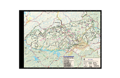
Great Smoky Mountains National Park - Trail map
Official trail map of Great Smoky Mountains National park. Shows all trails, park roads, visitor...
34 miles away
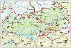
Great Smoky Mountains National Park - Park map
Official park map of Great Smoky Mountains National park. Shows location of all park roads...
34 miles away
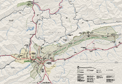
Cumberland Gap National Historical Park Official...
Official NPS map of Cumberland Gap National Historical Park in Virginia-Tennessee-Kentucky. Map...
47 miles away
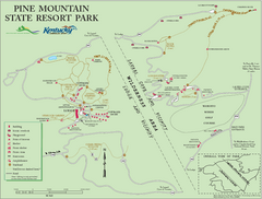
Pine Mountain State Resort Park Map
Map of trails and facilities in Pine Mountain State Resort Park .
52 miles away
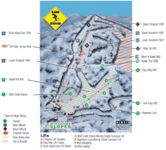
Cataloochee Ski Area Ski Trail Map
Trail map from Cataloochee Ski Area.
54 miles away
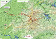
Cherohala Map
Map of Cherohala Skyway. Includes Visitor Information, roads, camping areas, and trails.
56 miles away
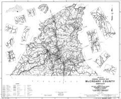
Mccreary County General Highway Map
Map of McCreary County with road, waterways and towns identified.
59 miles away

Waynesville and Lake Junaluska Panoramic Map
Panoramic Map taking in Waynesville, Lake Junaluska and the Richland Creek watershed in Haywood...
62 miles away
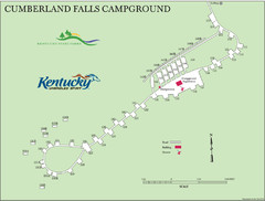
Cumberland Falls Map
62 miles away
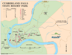
Cumberland Falls State Resort Park map
Detailed recreation map for Cumberland Falls State Resort Park in Kentucky
64 miles away
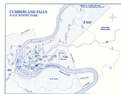
Cumberland Falls State Resort Park Map
Cumberland Falls Park Area Map
64 miles away
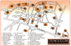
Tusculum College Campus Map
Campus map of Tusculum College in
64 miles away

Detailed Map of Hawkesdene House area
Detailed map of how to get to Hawkesdene House B&B Inn
66 miles away
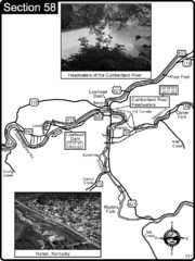
Harlan, KY-Cumberland River Headwaters Map
Section 58 of the Cumberland River Guidebook shows the beginning of the Cumberland River at the...
67 miles away
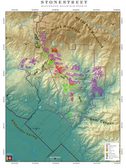
Alexander Mountain Estate Map
Vineyards in Alexander, North Carolina
73 miles away
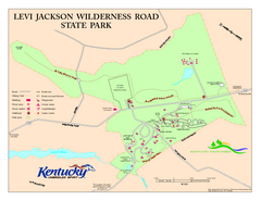
Levi Jackson Wilderness Road State Park Map
Map of trails and facilities of Levi Jackson Wilderness Road State Park.
75 miles away

Sassafras Ridge Panorama Map
Panoramic view from Sassafras Ridge near Cashiers, North Carolina.
76 miles away
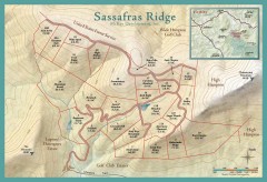
Sassafras Ridge Shaded Relief Map
This map is a shaded relief property map with survey boundaries and property roads. The map...
77 miles away

Asheville School Campus map
Map of the 300-acre campus of Asheville School, a private boarding school for grades 9-12 with...
77 miles away
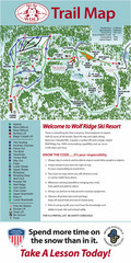
Wolf Laurel Ski Resort Ski Trail Map
Trail map from Wolf Laurel Ski Resort.
77 miles away
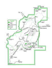
Black Rock State Park map
Detailed recreation map for Black Rock State Park in Georgia
78 miles away


 Explore Maps
 Map Directory
