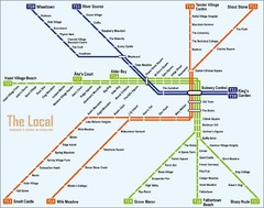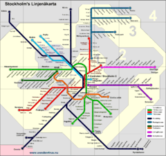
Stockholm tunnelband Map
0 miles away
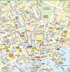
Stockholm downtown Map
0 miles away
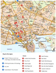
Stockholm Tourist Map
0 miles away
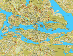
Stockholm City Map
City street map of central Stockholm, Sweden.
0 miles away
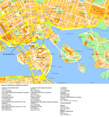
Stockholm Tourist Map
Tourist map of Stockholm, Sweden. Shows points of interest.
0 miles away
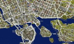
Stockholm Shopping Map
Panoramic map of central Stockholm, Sweden. Shows stores with logos.
0 miles away
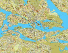
Stockholm Tourist Map
Tourist map of Stockholm, Sweden.
0 miles away
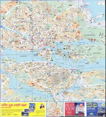
Stockholm overall Map
less than 1 mile away
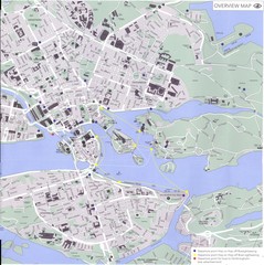
Stockholm Map
less than 1 mile away
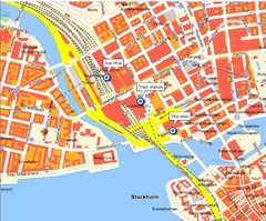
Stokholm Tourist Map
less than 1 mile away
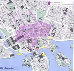
Stockholm shopping Map
less than 1 mile away
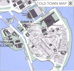
Stockholm old town Map
less than 1 mile away
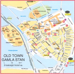
Stockholm - Gamla Stan Map
less than 1 mile away
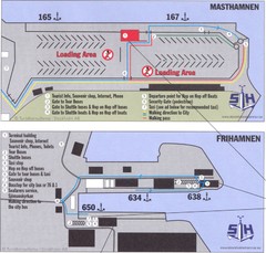
Stockholm cruise ship docks Map
2 miles away
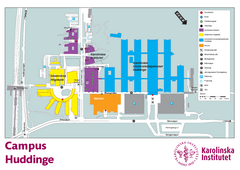
Karolinska Institute Karta Huddinge Campus Map
Easy to read and follow map of this Karolinska Institute campus.
3 miles away
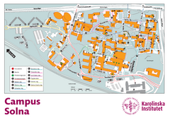
Karolinska Institute Solna Campus Map
Easy to read map of this small campus.
3 miles away
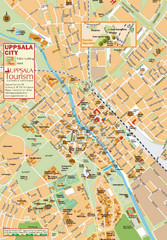
Uppsala Tourist Map
Tourist map of central Uppsala, Sweden. Shows public buildings, hotels, and other points of...
39 miles away
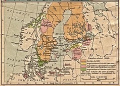
Historic map of Sweden in 1658
59 miles away
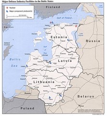
Major Defense Industries in the Baltic States Map
59 miles away
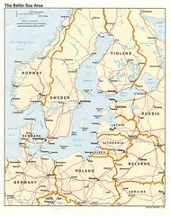
Balkan Sea States Map
59 miles away
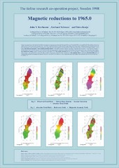
Magnetic Reductions to 1965.0 Map
Maps represent the total field magnetic anomalies of the Earth's lithosphere at the grid...
59 miles away
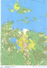
Herräng area map
Shows Herräng, Sweden and surrounding area
59 miles away
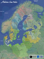
Baltic Sea River Basins Map
Map of the river basins feeding the Baltic Sea from the surrounding countries in Coalition Clean...
98 miles away
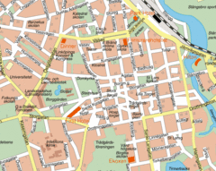
Linkoping City Center Map
Map of city center
108 miles away
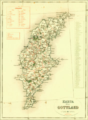
Gotland Island Map
Largest island in Sweden
132 miles away
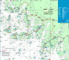
Turku Archipelago Tourist Map
Tourist map of the Turku Archipelago in Finland. In Finnish.
156 miles away
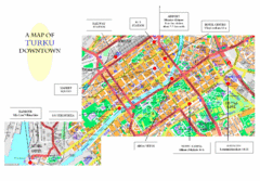
Turku City Map
City map of downtown Turku, Finland. Some hotels and transportation info highlighted.
165 miles away
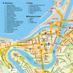
Jonkoping Tourist Map
Tourist map of city center
177 miles away
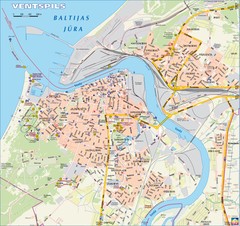
Ventspils city Map
185 miles away
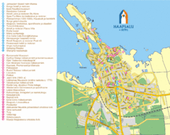
Haapsalu Tourist Map
Tourist street map of Haapsalu
196 miles away
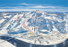
Branäs East Side Ski Trail Map
Trail map from Branäs.
199 miles away
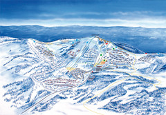
Branäs West Side Ski Trail Map
Trail map from Branäs.
199 miles away
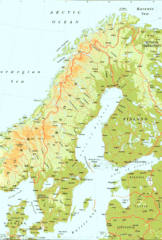
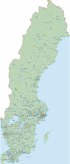
Sweden Physical Map
Map of Sweden and surrounding countries. Shows shaded relief
208 miles away
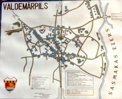
Valdemarpils Tourist Map
Tourist map of town of Valdemarpils, Latvia. From photo taken in town square, 1989
213 miles away

