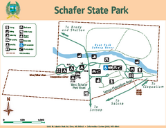
Schafer State Park Map
Map of park with detail of trails and recreation zones
243 miles away
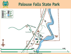
Palouse Falls State Park Map
Map of park with detail of trails and recreation zones
243 miles away
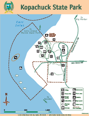
Kopachuck State Park Map
Map of island with detail of trails and recreation zones
243 miles away
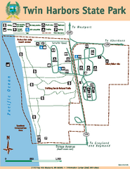
Twin Harbors State Park Map
Map of park with detail of trails and recreation zones
243 miles away

Burning Map 2005 Map
Artistic representation of Burning Man's Black Rock City.
244 miles away
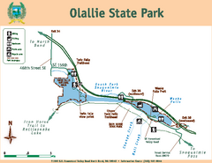
Olallie State Park Map
Map of park with detail of trails and recreation zones
244 miles away
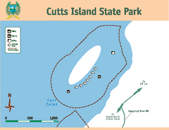
Cutts Island Stay Park Map
Map of park with detail of trails and recreation zones
244 miles away
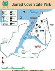
Jarrell Cove State Park Map
Map of park with detail of trails and recreation zones
244 miles away
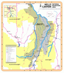
Hells Canyon National Recreation Area Map
Official Forest Service map of the Hells Canyon National Recreation Area. Shows roads, trails...
245 miles away
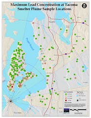
Tacoma Lead Concentration Map
A map of maximum lead concentrations near Tacoma.
245 miles away
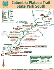
Columbia Plateau Trail State Park South Map
Map of park with detail of trails and recreation zones
246 miles away
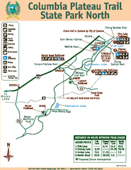
Columbia Plateau Trail State Park North Map
Map of park with detail of trails and recreation zones
246 miles away

Tourist map of Downtown Des Moines, Washington
Tourist map of Downtown Des Moines, Washington. Shows all businesses.
246 miles away

Des Moines Washington tourist map
Tourist map of Des Moines, Washington, including Kent and SeaTac airport.
246 miles away
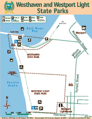
Westhaven/Westport Light State Parks Map
Map of park with detail of trails and recreation zones
246 miles away
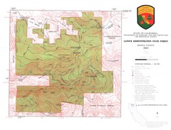
Latour State Forest Map
Countour map of the Latour Demonstration Forest.
246 miles away
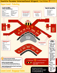
SeaTac Airport Map
248 miles away
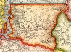
King County Washington, 1909 Map
248 miles away
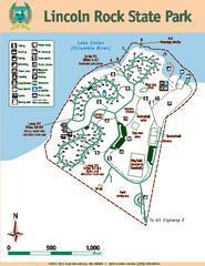
Lincoln Rock State Park Map
Map of park with detail of trails and recreation zones
249 miles away
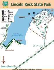
Lincoln Rock State Park Map
249 miles away
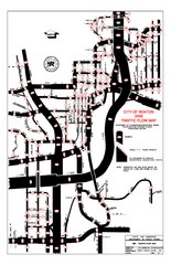
Renton WA Traffic Flow Map
City of Renton, WA traffic flow map
249 miles away
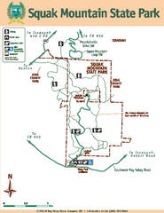
Squak Mountain State Park Map
Map of park with detail of trails and recreation zones
250 miles away
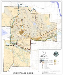
Snoqualmie Trail Map
Shows both soft surface and paved trails for biking, running/hiking/wailking, and horseback riding
251 miles away
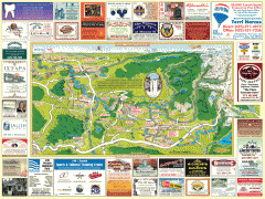
Snoqualmie tourist map
Snoqualmie, Washington tourist map. Shows all businesses.
251 miles away
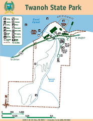
Twanoh State Park Map
Map of park with detail of trails and recreation zones
251 miles away
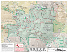
Cougar Mountain Park Trail Map
Trail map of Cougar Mountain Regional Wildland Park, part of the "Issaquah Alps"
252 miles away
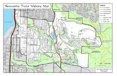
Newcastle Trails Trail Map
Trail map of existing and proposed trails in Newcastle, WA
253 miles away
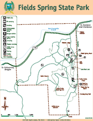
Fields Spring State Park Map
Map of park with detail of trails and recreation zones
253 miles away
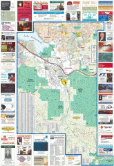
Issaquah tourist map
Issaquah, Washington tourist map. Shows all businesses.
253 miles away
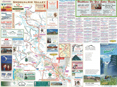
Snoqualmie Valley tourist map
Tourist map of the Snoqualmie Valley, Washington. Shows all businesses.
254 miles away
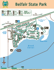
Belfair State Park Map
Map of park, with detail of trails and recreation zones
254 miles away
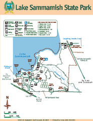
Lake Sammamish State Park Map
Map of island with detail of trails and recreation zones
254 miles away
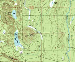
Fuller Mountain Topo Map
Fuller Mountain map with lakes, mountains and elevations identified.
254 miles away
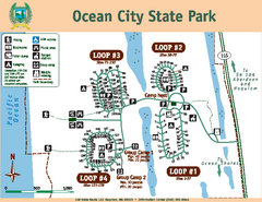
Ocean City State Park Map
Map of park with detail of trails and recreation zones
255 miles away
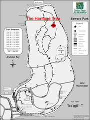
Seward Park Trails Map
Map of the trails in Seward Park, a 300-acre park on a peninsula in the south Seattle, WA area.
255 miles away
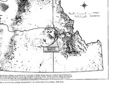
Map of Wolverine Sightings: 1886 -- 1998
255 miles away
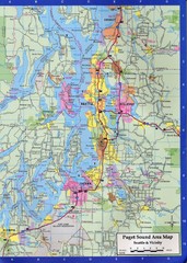
Seattle, Washington City Map
256 miles away
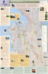
Duwamish River Community Map
This is a printed map, 32" X 40", created for the Duwamish River Cleanup Coalition in...
256 miles away
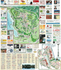
Sammamish tourist map
Sammamish, Washington tourist map. Shows all businesses.
256 miles away
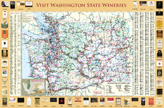
Washington State Winery Map
Washington State Winery Map
256 miles away

