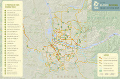
Bi-State Regional Trail System Plan Map
Shows plan for developing 37 Bi-State Regional Trails
132 miles away
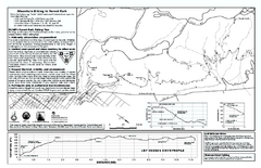
Forest Park Mountain Biking Map
Forest Park now includes over 5,100 wooded acres making it the largest, forested natural area...
133 miles away

Bear Creek Greenway Map
Trail map of the Bear Creek Greenway connecting Central Point to Ashland, Oregon. Will eventually...
134 miles away
Medford, Oregon City Map
134 miles away
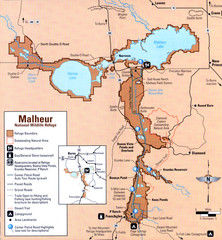
Malheur National Wildlife Refuge Map
Detailed Map of the Malheur Wildlife Refuge in Oregon showing places of interest, roads and...
135 miles away
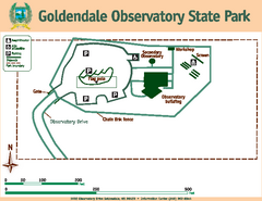
Goldendale State Park Map
Map of park with detail of trails and recreation zones
136 miles away
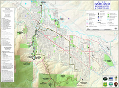
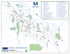
Ashland Trails Map
Trail map of Ashland, Oregon. Shows bicycle routes and public parks and trails.
137 miles away
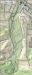
Lithia Park Trail Map
Trail map of Lithia Park in town of Ashland, Oregon. Adjacent to the Oregon Shakespeare Festival.
138 miles away
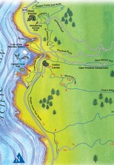
Cape Perpetua Map
139 miles away
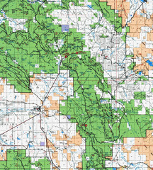
Clip10 Map
Visitor Maps of Modoc National Park, eastern part of the park includes all roads, camping areas...
140 miles away
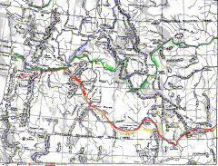
Oregon Trail Map
Old sketch map with modern cities, forts/ trading posts, and missions/churches superimposed. Shows...
141 miles away
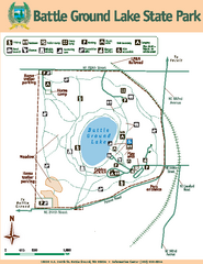
Battle Ground Lake State Park Map
Map of park with detail of trails and recreation zones
142 miles away
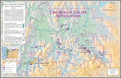
Oregon Rogue Valley wineries Map
Southern Oregon's Rogue Valley wineries
142 miles away
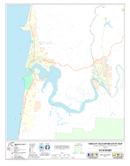
Newport Oregon Road Map
143 miles away
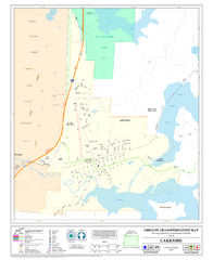
Lakeside Oregon Road Map
143 miles away
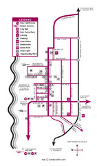
Nye Beach Tourist Map
143 miles away
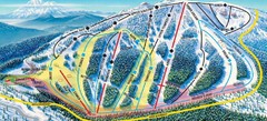
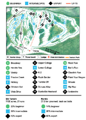
Mt. Ashland Ski Trail Map
Ski trail map of Mt. Ashland ski area near Ashland, Oregon
144 miles away
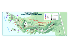
Yaquina Head Outstanding National Area Map
144 miles away
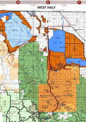
Modoc National Park Map
Visitor Map of Modoc National Park--Western Part. Includes the parameters of the Lava Beds...
144 miles away
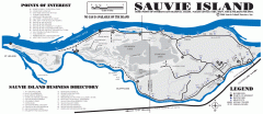
Sauvie Island tourist map
Tourist map of Sauvie Island in Oregon. Shows all businesses and points of interest.
144 miles away
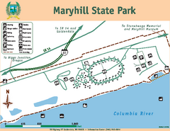
Maryhill State Park Map
Map of park with detail of trails and recreation zones
145 miles away
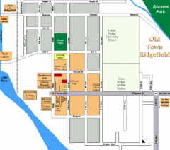
Guide Map of Old Town Ridgefield
Guide Map of Old Town Ridgefield, Washington
147 miles away
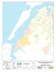
West Coos Bay Oregon Road Map
148 miles away
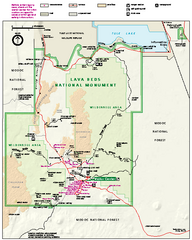
Lava Beds National Monument official park map
Official park map of Lava Beds National Monument. Shows trails, roads, cave entrances, and lava...
149 miles away
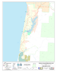
Lincoln City Oregon Road Map
150 miles away
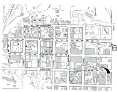
Myrtle Point walking tour Map
Walking tour map of the Historic homes of Myrtle Point in the Coquille Valley of Oregon.
151 miles away
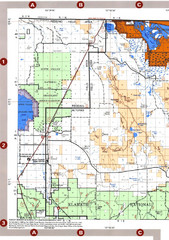
Modoc National Forest Map
Forest Visitor Map of the western most part of Modoc National Park. Includes county boundaries...
152 miles away
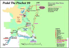
Pedal the Pinchot Bike Ride Route Map
Route Map for the Pedal the Pinchot 99 bike ride - annotated on a Park trail map.
155 miles away
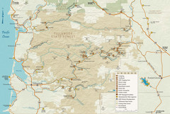
Tillamook State Forest Map
Recreation map of Tillamook State Forest. Over 60 miles of non-motorized trails and 150 miles of...
160 miles away

BANKS-VERNONIA STATE TRAIL Map
160 miles away
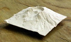
Mt. St. Helens 3D Print Map
This is a 3D-printed map of the cone, crater, and summit of Mt. St. Helens in Washington, USA. It...
163 miles away
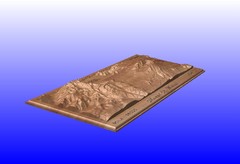
Mount St. Helens carved in wood by carvedmaps.com...
Mount St. Helens carved in wood by carvedmaps.com
163 miles away

Steens Mountain Topo Map
Topography map of the east side of Steens mountain in Oregon.
165 miles away
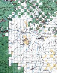
Clip07 Map
Visitor Maps of Klamath, central-western part of the park. Includes all roads, camp grounds...
165 miles away
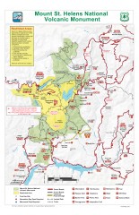
Mt. Saint Helens National Volcanic Monument...
Official recreation map showing all roads, trails, campgrounds, and other facilities. Also shows...
167 miles away
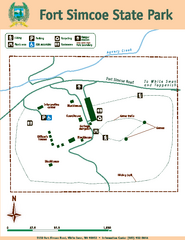
Fort Simcoe State Park Map
Map of park with detail of trails and recreation zones
170 miles away
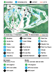
Anthony Lakes Mountain Resort Ski Trail Map
Trail map from Anthony Lakes Mountain Resort.
170 miles away
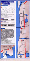
Rockaway Beach Map
173 miles away

