John Muir National Histroric Site Map
412 miles away

Bodie State Park NE Map
Map of park with detail of trails and recreation zones
412 miles away
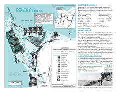
Point Pinole Regional Shoreline Map
412 miles away
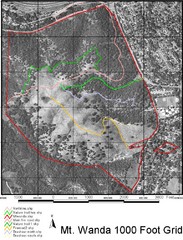
Mt. Wanda Aerial Trail Map
Trail map of Mt. Wanda area in the John Muir National Historic Site.
412 miles away

Bodie State Park NW Map
Map of park with detail of trails and recreation zones
413 miles away

Santa Margarita Island, Santa Venetia Marsh, and...
Park map of Santa Margarita Island Open Space Preserve, Santa Venetia Marsh Open Space Preserve...
413 miles away
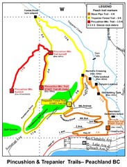
Peachland Walks Map
Guide to Pincushion and Trepanier Trails in Peachland, BC
413 miles away
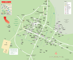
Bodie State Park Map
Map of park with detail of trails and recreation zones
413 miles away
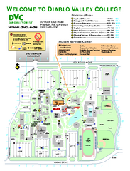
Diablo Valley College Map
413 miles away
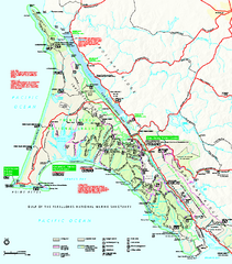
Point Reyes National Seashore Map
Official NPS map of Point Reyes National Seashore in Marin County, California. Shows trails, roads...
413 miles away
Samuel P. Taylor State Park Map
Map of park with detail of trails and recreation zones
413 miles away
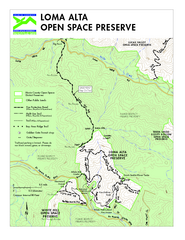
Loma Alta Preserve Map
Topographical trail map of Loma Alta Preserve in Marin County, California
413 miles away

China Camp State Park Map
Map of park with detail of trails and recreation zones
414 miles away

Bodie State Park SW Map
Map of park with detail of trails and recreation zones
414 miles away
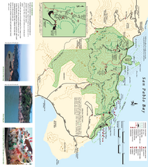
China Camp State Park Map
Trail map of China Camp State Park. Shows trails by use type and all park facilities.
414 miles away
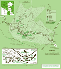
Samuel Taylor State Park Trail Map
Trail map of Samuel Taylor State Park near Lagunitas, CA.
414 miles away

Bodie State Park SE Map
Map of park with detail of trails and recreation zones
414 miles away
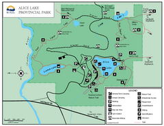
Alice Lake Provincal Park Map
414 miles away
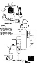
Pleasant Hill, CA Map
415 miles away
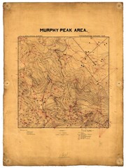
Murphy Peak Area Survey Map
Topographic geology map of Murphy Peak area, California. L.S.J.U. Geological Survey, 1911...
415 miles away
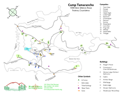
Tamarancho Map
415 miles away
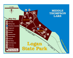
Logan State Park Map
With frontage on the north shore of Middle Thompson Lake, Logan is heavily forested with western...
415 miles away
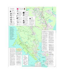
Marin Bicycle Map - Side B
Bike route map of Marin County, California. Shows primary and secondary road routes, paved and...
415 miles away
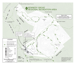
Kennedy Grove Recreation Area Trail Map
222-acre park
416 miles away
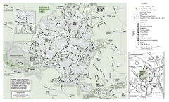
Briones Regional Park Trail Map
Trail map of Briones Regional Park in East Bay.
416 miles away
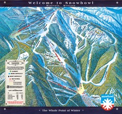
Montana Snowbowl Ski Trail Map
Trail map from Montana Snowbowl.
416 miles away
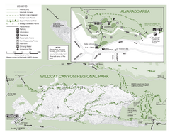
Wildcat Canyon Regional Park Map
416 miles away
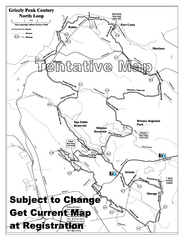
Grizzly Peak Century North Loop Route Map
Road bike route map of the north loop in the Grizzly Peak Century Ride. From site: "The...
416 miles away
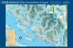
Sunshine Coast Recreation Map
Recreation map of the Sunshine Coast in BC. Shows trails for hiking (in yellow) and mountain...
416 miles away
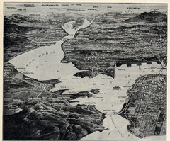
1936 San Francisco Bay Area Map Part 1
Guide to the San Francisco Bay Area in 1936, hand drawing over photograph
416 miles away
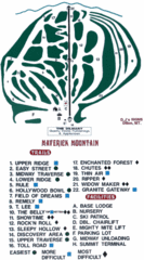
Maverick Mountain Ski Area Ski Trail Map
Trail map from Maverick Mountain Ski Area.
416 miles away
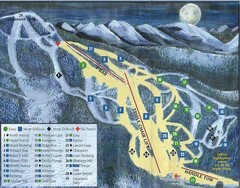
Marshall Mountain Ski Trail Map
Trail map from Marshall Mountain.
417 miles away

Geographic Subdivisions in California Map
417 miles away
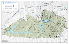
Mt. Tamalpais Watershed Trail Map
Shows roads and trails in the 18,500 Mt. Tamalpais Watershed near Fairfax, California.
417 miles away
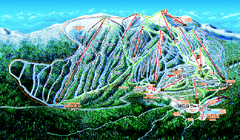
Big White Ski Resort Ski Trail Map
Trail map from Big White Ski Resort, which provides downhill, night, nordic, and terrain park...
418 miles away
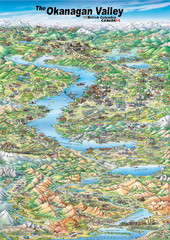
Pictorial map of the Okanagan Valley
418 miles away
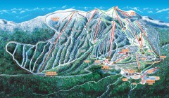
Big White Ski Trail Map
Official ski trail map of Big White ski area from the 2007-2008 season.
418 miles away
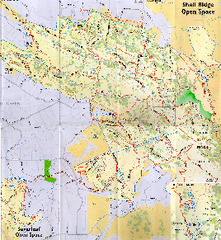
Shell Ridge Open Space Trail Map
Trail map of Shell Ridge Open Space, Walnut Creek's largest open space unit, with trails for...
418 miles away
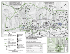
Tilden Regional Park Map - North
418 miles away
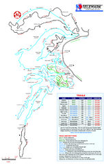
Telemark Cross Country Ski Trail Map
Trail map from Telemark Cross Country, which provides nordic skiing. This ski area has its own...
418 miles away

