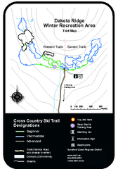
Dakota Ridge Ski Trail Map
Trail map from Dakota Ridge, which provides nordic skiing. This ski area has its own website.
401 miles away
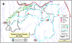
Paulson X-C (Castlegar Nordic) Ski Trail Map
Trail map from Paulson X-C (Castlegar Nordic), which provides nordic skiing. This ski area has its...
401 miles away
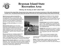
Brannan Island Campground Map
Map of park with detail of trails and recreation zones
402 miles away
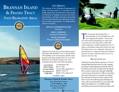
Brannan Island & Franks Tract State...
Map of park with detail of trails and recreation zones
402 miles away
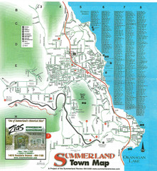
Summerland Town Map
Map of Summerland with details on outdoor-recreation locations and streets
402 miles away
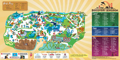
Six Flags Discovery Kingdom Park Map
Six Flags Discovery Kingdom theme park (formerly Marine World) in Vallejo, California. Experience...
402 miles away
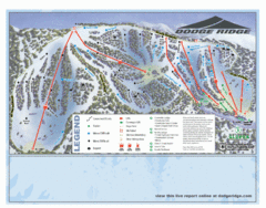
Dodge Ridge Ski Area Ski Trail Map
Trail map from Dodge Ridge Ski Area, which provides downhill, nordic, and terrain park skiing. It...
403 miles away
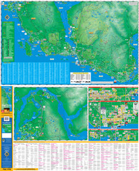
Folded Sunshine Coast Super Map
Folded Sunshine Coast Super Map
404 miles away
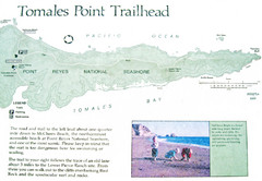
Tomales Point Trail Map
Map of the trail to Tomales Point in Point Reyes National Seashore, California. Also shows trail...
404 miles away

Mt. Burdell Open Space Preserve Map
Trail map of Mt. Burdell Open Space Preserve and Olompali State Historic Park in Novato, Marin...
405 miles away
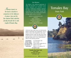
Tomales Bay State Park Map
Map of park with detail of trails and recreation zones
405 miles away
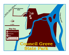
Council Grove State Park Map
Clearly marked map.
406 miles away
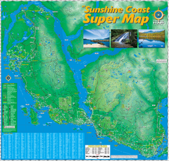
Sunshine Coast Super Map
Sunshine Coast Super Map Poster. 44" X 42". Also Available in folded version.
406 miles away
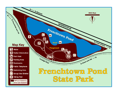
Frenchtown Pond State Park Map
Plan to bring everyone in the family to this day-use-only park for a whole afternoon of picnicking...
406 miles away
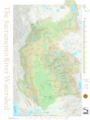
Sacramento River Watershed Map
The map shows, rivers, cities, counties, and roads surrounding the Sacramento River.
406 miles away
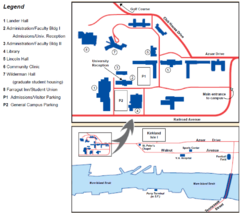
Touro University Map
Campus map of Touro University's Mare Island Campus.
406 miles away
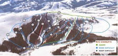
Pomerelle Ski Area Ski Trail Map
Trail map from Pomerelle Ski Area, which provides downhill, night, and terrain park skiing. It has...
406 miles away
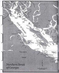
Northern Strait of Georgia Map
407 miles away
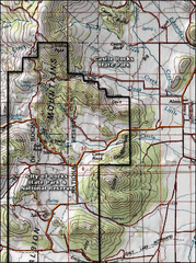
City of Rocks Topo Map
This topo map does not do justice to City of Rocks which is a wonderful reserve that is managed by...
407 miles away
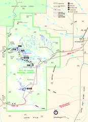
City of Rocks Park Map
This is the official Map for the reserve
407 miles away
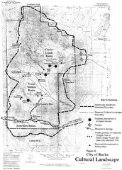
Sites of Cultural Importance, City of Rocks Area...
407 miles away
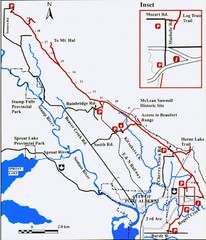
Log Train Trail Map
Trail map of the Log Train Trail near Port Alberni, Vancouver Island
408 miles away
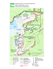
Indian Tree, Little Mountain, and Verissimo Hills...
408 miles away
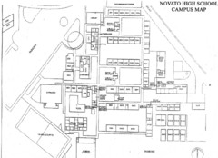
Novato High School Campus Map
408 miles away
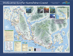
Lower Sunshine Coast Recreation Map
Recreation map of the Lower Sunshine Coast in BC. Shows hiking trails, mountain biking trails...
409 miles away
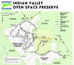
Indian Valley Open Space Preserve Map
409 miles away
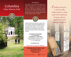
Columbia State Historic Park Map
Map of park with detail of trails and recreation zones
410 miles away
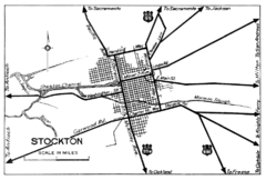
Stockton, California City Map
410 miles away
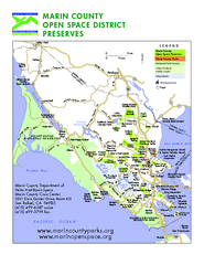
Marin Open Space Preserves Map
Shows all Open Space Preserves in Marin County, CA.
410 miles away
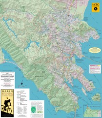
Marin, California Bike Map
410 miles away
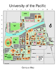
University of the Pacific Stockton Campus Map
Campus map of University of the Pacific, Stockton, California campus
411 miles away
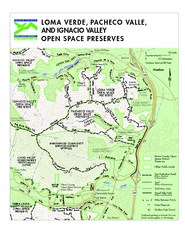
Loma Verde, Pacheco Valley, Lucas Valley and...
411 miles away
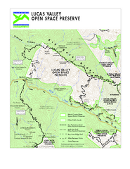
Lucas Valley Open Space Preserve Map
411 miles away

Missoula, Montana City Map
411 miles away
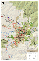
Missoula Bike Trails Map
Road and Mt. Bike trails with a bit of topology near Missoua
412 miles away

Missoula Trail System Map
Basic Map of Hike/Bike/Run Trail system for Missoula MT
412 miles away
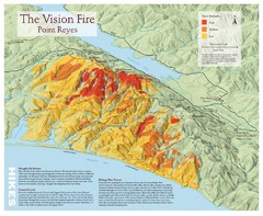
Point Reyes Vision Fire Map
Map of the burn intensity of the 1995 Vision Fire in Point Reyes National Seashore.
412 miles away
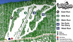
Salmo Ski Area Ski Trail Map
Trail map from Salmo Ski Area, which provides downhill skiing. This ski area has its own website.
412 miles away

