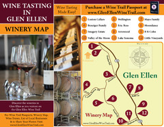
Glen Ellen Wine Tasting Map
389 miles away
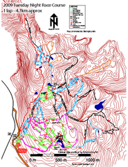
Cypress Mountain Tuesday Night Race Course Ski...
Trail map from Cypress Mountain, which provides downhill, night, nordic, and terrain park skiing...
389 miles away
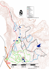
Cypress Mountain Nordic (Skiingbc.info Topo...
Trail map from Cypress Mountain, which provides downhill, night, nordic, and terrain park skiing...
389 miles away
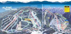
Cypress Mountain Ski Trail Map
Official ski trail map of Cypress Mountain ski area from the 2007-2008 season. Official freestyle...
389 miles away
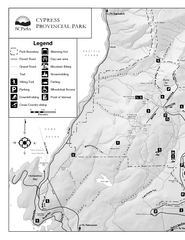
Cypress Provincial Park Map
Park map of Cypress Provincial Park, BC. Home of the North Shore Mountains. 2 pages.
389 miles away
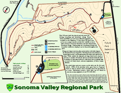
Sonoma Valley Regional Park Map
Trail map of 202 acre Sonoma Valley Regional Park.
389 miles away
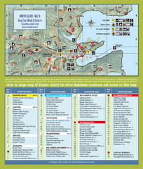
Bownen Island Tourist Map
389 miles away

Bowen Island 3D Aerial Map
3d aerial map of Bowen Island, BC
389 miles away
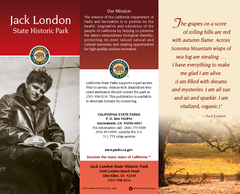
Jack London State Historic Park Map
Map of park with detail of trails and recreation zones
390 miles away

Sebastopol Map
Map of Sebastopol and surrounding towns.
391 miles away
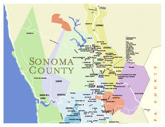
Wineries in Sonoma County, California Map
Map of winery locations in Sonoma County, California. Shows wineries, tasting rooms, and valleys of...
391 miles away
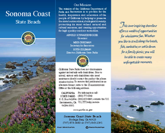
Sonoma Coast State Beach Map
Map of beach and park with detail of trails and recreation zones
392 miles away
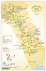
Sonoma Valley Winery Map
High quality map of Sonoma Valley wineries from the vinters and growers. Shows all key roads and...
393 miles away
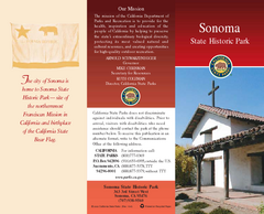
Sonoma State Historic Park Map
Map of park with detail of trails and recreation zones
393 miles away
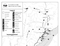
Golden Ears Provincial Park Map
Park map of Golden Ears Provincial Park, BC. 2 pages.
393 miles away
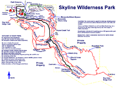
Skyline Wilderness Park Map
Trail map of Skyline Wilderness Park in Napa, California
394 miles away

Red Mountain Trail Map
Ski trail map
395 miles away
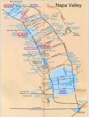
Napa Valley Tourist map
Tourist map of Napa Valley in California, showing wineries and museums in the area.
395 miles away
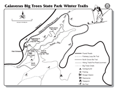
Calaveras Big Trees State Park Winter Map
Map of park with detail of winter ski trails and recreation zones
395 miles away
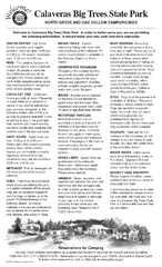
Calaveras Big Trees State Park Map
Map of park with detail of trails and recreation zones
395 miles away
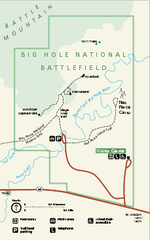
Big Hole National Battlefield Official Map
Official NPS map of Big Hole National Battlefield in Montana. Big Hole National Battlefield is...
395 miles away
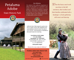
Petaluma Adobe State Historic Park Map
Map of park with detail of trails and recreation zones
395 miles away

Red Mountain Ski Trail Map
Trail map from Red Mountain.
396 miles away
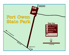
Fort Owen State Park Map
Fort Owen’s adobe and log remains preserves the site of the first permanent white settlement...
397 miles away
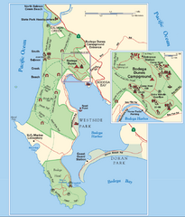
Bodega Bay Park Map
Park map of the Sonoma Coast State Beach park lands in Bodega Bay, California. Shows roads, trails...
397 miles away

2006–08 Black Jack Nordic Map
Trail map from Black Jack.
397 miles away
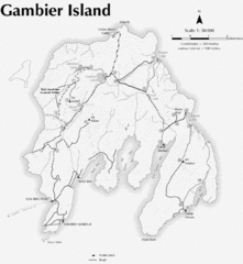
Gambier Island Trail Map
Trail map of Gambier Island, BC. See site for trail descriptions and details.
397 miles away
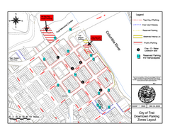
City of Trail Downtown Parking Map
Parking map of downtown Trail, British Columbia
398 miles away

City of Trail BC Map
Map of city of Trail, BC on the Columbia River
398 miles away
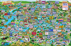
California Delta Boaters Map & Visitors Guide
Map of the California Delta, the Most Current, Legible and Unique Delta Navigation Map to date. Our...
398 miles away
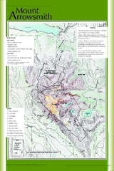
Mount Arrowsmith Climbing Route Map
Climbing routes on Mount Arrowsmith, Vancouver Island
399 miles away
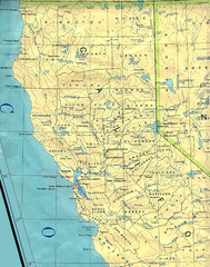
Northern California Map
Map of Northern California including cities, counties, and rivers
399 miles away
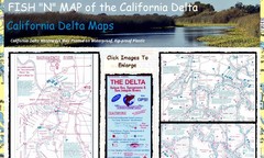
California Delta Maps Map
FISH "N" MAP of the California Delta. Navigation Map with GPS Locations. Printed on...
399 miles away
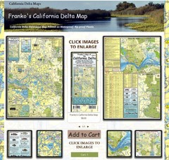
California Delta Maps Map
The "BEST" Navigational Maps of the California Delta. Franko's California...
399 miles away
California Delta Maps/Fish "N" Map
The Delta including Suisun Bay, Sacramento & San Joaquin Rivers 10 Foot Underwater Depth...
399 miles away
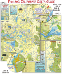
California Delta Maps Map
The "BEST" California Delta Boating, Navigation & Visitors Maps. Printed on Rip-Proof...
399 miles away
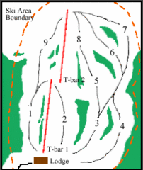
Mount Arrowsmith (Upper) Ski Trail Map
Trail map from Mount Arrowsmith (Upper).
399 miles away
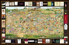
Lodi Valley Wine Map & Visitors Guide
A great source for information about the Lodi Wineries and our valleys rich Wine Region
400 miles away
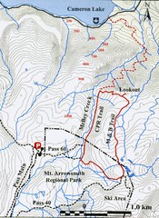
Mt. Arrowsmith Park CPR Historic Trail Map
Trail map of Mt. Arrowsmith Regional Park CPR Historic Trail, Vancouver Island
401 miles away
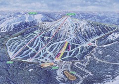
Apex Mountain Ski Resort Map
Apex Mountain Trail Map, Lifts and Elevations
401 miles away

