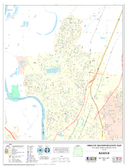
Keizer Oregon Road Map
111 miles away

Independence Oregon Road Map
111 miles away
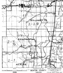
Transportaion for Benton County 1936 Map
1936 Map of Benton County, Oregon known as Muddy Area with counties, roads and towns marked
112 miles away
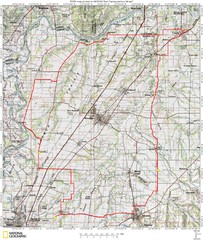
Spring Century Bike Route Map
Oregon Spring Century Ride
112 miles away
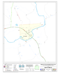
Monument Oregon Road Map
114 miles away

BTS Route Map
Map of BTS bus routes throughout Klamath Falls
119 miles away
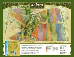
Van Duzer Vineyard Map
"A colorful vineyard map that shows the location of Van Duzer’s numerous grape varietals...
120 miles away
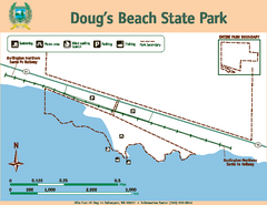
Dougs Beach State Park Map
Map of park with detail of trails and recreation zones
120 miles away

Happy Valley Oregon Road Map
121 miles away
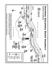
Historic Columbia River Highway Map
Official map from the US Forest Service. Shows the Corbett to Dodson stretch of Highway 30 with...
121 miles away
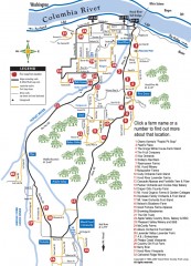
Hood River County Fruit Loop map
35-mile scenic drive through the valley's orchards, forests, farmlands, and friendly...
121 miles away
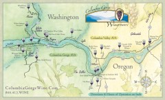
Columbia Gorge Wine Map
Wineries of the Columbia River Gorge area, Oregon.
122 miles away
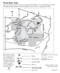
Powell Butte Nature Park Trail Map
Trail map of Powell Butte Nature Park. Shows over 9 miles of trails
122 miles away

Lake Oswego Oregon Road Map
122 miles away
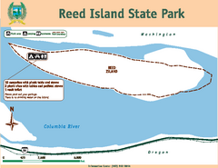
Reed Island State Park Map
Map of park with detail of trails and recreation zones
122 miles away
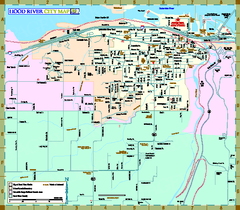
Hood River Map
Tourist map of city of Hood River, Oregon.
123 miles away

King City Oregon Road Map
125 miles away
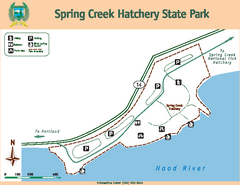
Spring Creek Hatchery State Park map
Map of park with detail of trails and recreation zones
125 miles away

Tigard Oregon Road Map
126 miles away

Maywood Park Oregon Road Map
128 miles away
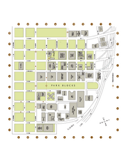
Portland State University Map
Campus Map of Portland State University. All buildings shown.
128 miles away
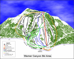
Warner Canyon Ski Trail Map
Trail map from Warner Canyon, which provides downhill skiing.
128 miles away
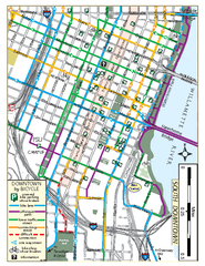
South Downtown Portland Bike Map
Biking map of southern downtown Portland, Oregon. Shows bike paths, bike parking, and bike shops.
128 miles away
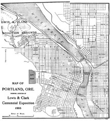
Portland, Oregon Map
Map of Portland, Oregon during centennial exposition of the Lewis & Clark Exploration...
128 miles away
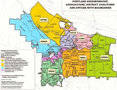
Portland Neighborhood Map
Shows neighborhood associations of Portland, Oregon.
128 miles away
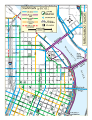
North Downtown Portland Bike Parking Map
Biking map of northern downtown Portland, Oregon. Shows bike paths, parking, and stores.
129 miles away
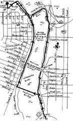
Portland Oregon downtown walk Map
Walk from the Amtrak Station to the Oregon Museum of Science and Industry. 4 miles round trip...
129 miles away
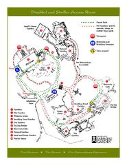
Portland Japanese Garden Map
So Far My favorite Japanese Garden
129 miles away
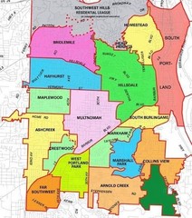
Portland, Oregon Neighborhood Map
129 miles away
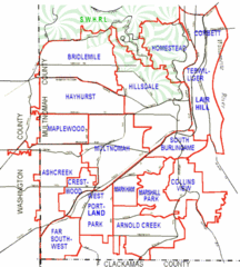
Portland, Oregon Neighborhood Map
129 miles away
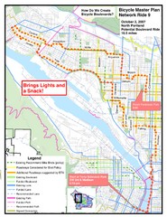
Portland, Oregon Bike Map
129 miles away
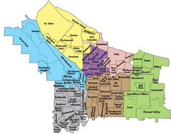
Portland, Oregon Neighborhood Map
129 miles away
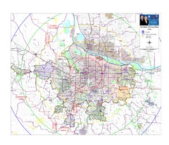
Portland, Oregon Tourist Map
129 miles away
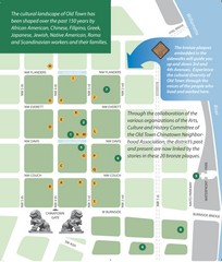
Old Town-China Town Map
Portland's oldest neighborhoods and history are easily seen in Old Town-China Town.
129 miles away
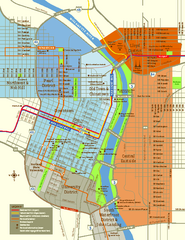
Central Portland, Oregon Map
Tourist map of Portland, Oregon. Shows museums, sports arenas, parks, and public transportation.
129 miles away
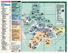
Oregon Zoo Map 2009
129 miles away
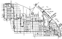
Pearl District Walking Map, Portland Oregon Map
Walk through the Pearl District, along the Willamette River and up to 23rd Street. Detour to the...
129 miles away

Lakeview Oregon Road Map
130 miles away
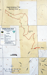
Grizzly Peak Trail Map
Topographic trail map of Grizzly Peak near Ashland, Oregon. Shows trails and distances. From...
131 miles away


