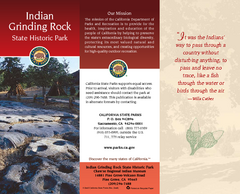
Indian Grinding Rock State Historic Park Map
Map of park with detail of trails and recreation zones
382 miles away
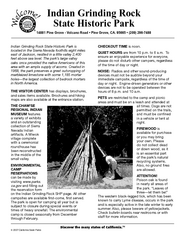
Indian Grinding Rock State Historic Park...
Map of campground region of park with detail of trails and recreation zones
382 miles away
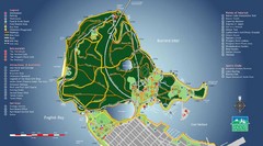
Stanley Park Map
382 miles away

Phoenix Mountain Ski Trail Map
Trail map from Phoenix Mountain.
382 miles away
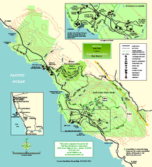
Salt Point State Park Map
Topo park map of Salt Point State Park and Kruse Rhododendron State Reserve. Shows trails by use...
383 miles away
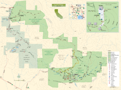
Sugarloaf Ridge State Park Map
Trail map of Sugarloaf Ridge State Park
383 miles away
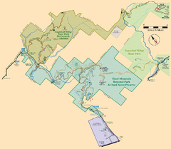
Hood Mountain Regional Park Map and Sugarloaf...
Park map of Hood Mountain Regional Park and Open Space Preserve and Sugarloaf Ridge State Park in...
383 miles away
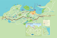
Nanaimo City Map
Map of Nanaimo, BC. Shows trails and parks.
383 miles away
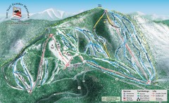
Lost Trail Powder Mountain Ski Trail Map
Official ski trail map of Lost Trail Powder Mountain ski area
383 miles away
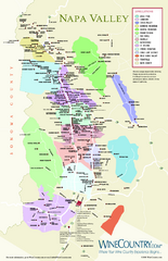
Napa Valley Wine Map
Wine map of Napa Valley, Napa, California. Shows all vineyards and shading by appellations from...
383 miles away
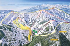
Schweitzer Ski Trail Map - Front
Official ski trail map of front side of Schweitzer ski area from the 2007-2008 season.
383 miles away
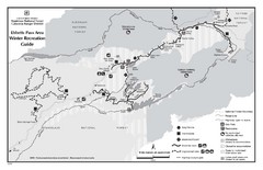
Ebbetts Pass Area Map
Guide to Winter Recreation at Ebbetts Pass
383 miles away
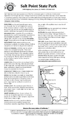
Salt Point State Park Campground Map
Map of campground region of park with detail of trails and recreation zones
383 miles away
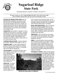
Sugarloaf Ridge State Park Campground Map
Map of park with detail of trails and recreation zones
383 miles away
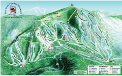
Lost Powder Mountain Ski Trail Map
Trail map from Lost Trail Powder Mountain.
383 miles away
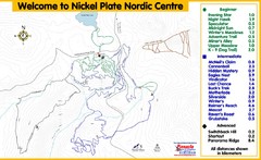
Nickel Plate Nordic Centre Ski Trail Map
Trail map from Nickel Plate Nordic Centre.
383 miles away
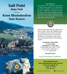
Salt Point State Park Map
Map of park with detail of trails and recreation zones
383 miles away
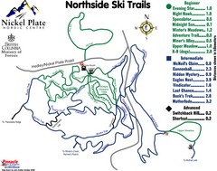
Nickel Plate Nordic Centre North Ski Trail Map
Trail map from Nickel Plate Nordic Centre.
384 miles away
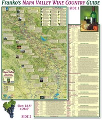
Napa Valley Wine Country Guide Map
Map of the Napa Valley Wine Country. With over 250 local Wineries listed. Printed on waterproof...
384 miles away
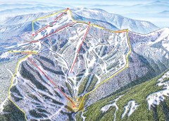
Schweitzer Ski Trail Map - Outback Bowl
Official ski trail map of back side of Schweitzer ski area from the 2007-2008 season.
384 miles away
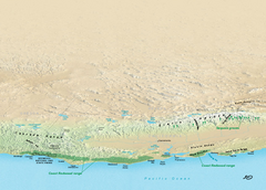
California Redwood Range Map
NPS prospective map of the coastal redwoord range in California, extending from Santa Cruz north to...
384 miles away
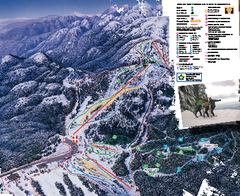
Mount Seymour Ski Trail Map
Trail map from Mount Seymour, which provides downhill, night, and terrain park skiing. It has 5...
384 miles away
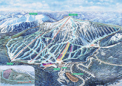
Apex Mountain Ski Trail Map
Official ski trail map of Apex Mountain ski area
384 miles away
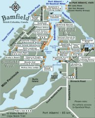
Bamfield Tourist Map
385 miles away
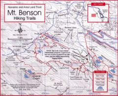
Mt. Benson Hiking Trail Map
Show hiking trails in the Nanaimo and Area Land Trust containing Mt. Benson. Also shows roads and...
385 miles away
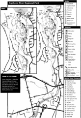
Capilano River Park Trail Map
Trail map of Capilano River Regional Park near Vancouver, BC
385 miles away
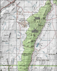
Ruby Mountains Wilderness Map
Overview map of Ruby Mountains Wilderness and Lamoille Canyon
385 miles away
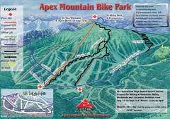
Apex Mountain Resort Biking Ski Trail Map
Trail map from Apex Mountain Resort, which provides downhill and terrain park skiing. It has 5...
385 miles away
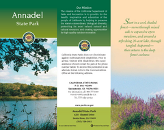
Annadel State Park Map
Map of park with detail of trails and recreation zones
385 miles away
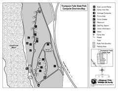
Thompson Falls State Park Map
This shaded, quiet campground is located on the Clark Fork River near the town of Thompson Falls in...
385 miles away
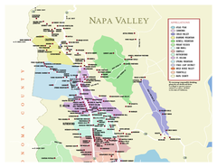
Napa County Wineries, California Map
Map of wineries in Napa County, California. Shows wineries and appellations.
386 miles away
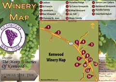
Kenwood Wine Tasting Map
386 miles away
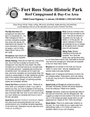
Fort Ross State Historic Park Campground Map
Map of park with detail of trails and recreation zones
386 miles away
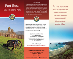
Fort Ross State Historic Park Map
Map of park with detail of trails and recreation zones
386 miles away
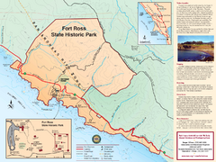
Fort Ross State Historic Park Map
Map of park with detail of trails and recreation zones
386 miles away
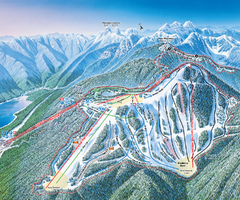
Grouse Mountain Ski Trail Map
Trail map from Grouse Mountain, which provides downhill, night, and terrain park skiing. It has 5...
387 miles away
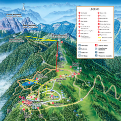
Grouse Mountain Summer Trail Map
Summer trail map of Grouse Mountain Resort near Vancouver, BC.
387 miles away
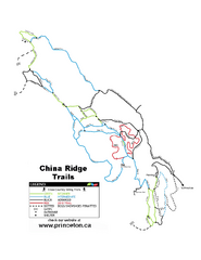
China Ridge XC Ski Trail Map
Trail map from China Ridge XC, which provides nordic skiing.
387 miles away
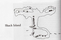
Shack Island Map
Illustration taken from the book "Shack Island" by Ruth English Matson. 2004.
388 miles away
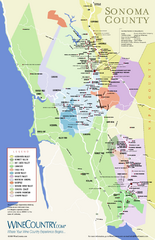
Sonoma Country Wine Map
Wine map of Sonoma, California area. Shows all vineyards.
388 miles away

