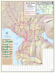
Bellingham, Washington City Map
355 miles away
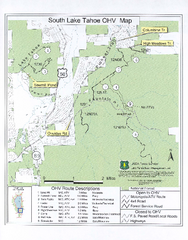
South Lake Tahoe Off-Highway Vehicle Map
Off-Highway Vehicle Map of South Lake Tahoe, California. Shows roads open to motorcycles, ATVs, and...
356 miles away
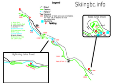
Manning Park Resort 2004–07 Manning Park...
Trail map from Manning Park Resort, which provides downhill and nordic skiing. It has 4 lifts...
357 miles away
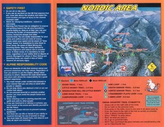
Manning Park Resort 2004–07 Manning Park Cross...
Trail map from Manning Park Resort, which provides downhill and nordic skiing. It has 4 lifts...
357 miles away
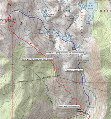
Pyramid Peak Ski Route Map
Backcountry ski route map of Pyramid Peak 9983 ft in the Desolation Wilderness near Lake Tahoe...
358 miles away

Rockville Hills Regional Park Map
Trail Map, Two small lakes, picnic areas
358 miles away
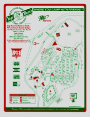
Jellystone Park at Glebrook Resort & Spa Map
358 miles away
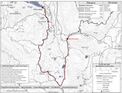
Tahoe Rim Trail: Big Meadow to Echo Lake Map
Topographic hiking map of the Big Meadow-Echo Lake leg of the Tahoe Rim Trail. Bike and pedestrian...
359 miles away
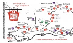
Apple Hill tourist map
Map of Apple Hill growers in Camino, California. Shows vineyards and orchards.
360 miles away
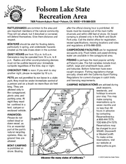
Folsom Lake State Recreation Area Campground Map
Map of park with detail of trails and recreation zones
360 miles away
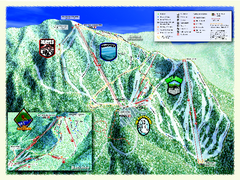
Sierra-at-Tahoe Ski Trail Map
Trail map from Sierra-at-Tahoe, which provides downhill and terrain park skiing. It has 12 lifts...
360 miles away
Sierra-at-Tahoe Ski Trail Map
Official ski trail map of Sierra-at-Tahoe ski area from the 2007-2008 season.
360 miles away
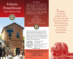
Folsom Powerhouse State Historic Park Map
Map of park with detail of trails and recreation zones
361 miles away
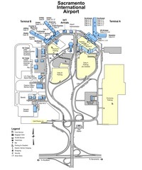
Sacramento International Airport Map
361 miles away
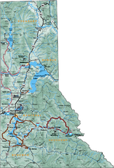
Northern Idaho Road Map
364 miles away
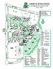
American River College Campus Map
American River College Campus Map. Shows all buildings.
364 miles away
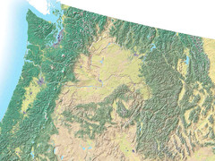
Northwest USA topo Map
365 miles away
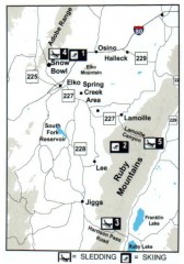
Skiing and Sledding in Elko County, Nevada Map
Map of skiing and sledding opportunities in Elko County, Nevada, showing skiing and sledding...
366 miles away
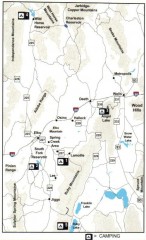
Camping in Elko County, Nevada Map
Map of camping opportunities in Elko County, Nevada, showing camp grounds, roads and towns.
366 miles away
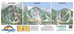
Lookout Pass Ski Trail Map
Official ski trail map of Lookout Pass ski area from the 2007-2008 season. Shows Montana, Idaho...
366 miles away
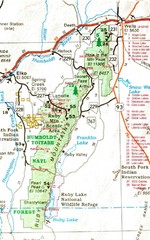
Ruby Mountains Area Map
Included are the communities of Elko, Wells, Deeth, Jiggs, Lee, Lamoille and Spring Creek. Some...
367 miles away
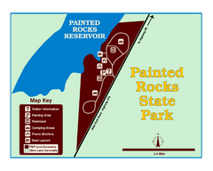
Painted Rocks State Park Map
Located in the scenic Bitterroot Mountains, this 23-acre park offers boating and water sport...
367 miles away
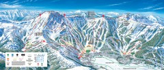
Kirkwood Ski Trail map 2006-07
Official ski trail map of Kirkwood ski area for the 2006-2007 season.
368 miles away
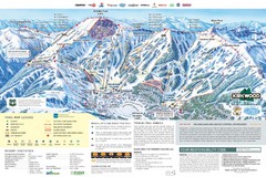
Kirkwood Ski Trail Map
Trail map from Kirkwood, which provides downhill, nordic, and terrain park skiing. It has 14 lifts...
368 miles away
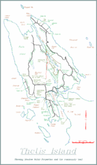
Thetis Island Map
Thetis Island map showing roads, properties, and the community trail.
368 miles away
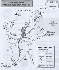
Little Pend Oreille Off Road Vehicle (ORV) Area...
Map of the Off Road Vehicle Area in Little Pend Oreille, Washington. Includes all bike trails...
368 miles away
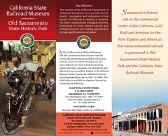
California Railroad Museum Map
Map of historic museum
369 miles away
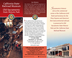
Old Sacramento State Historic Park Map
Map of park and museum with detail of trails and recreation zones
369 miles away
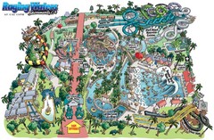
Raging Waters Sacramento Map
Fun and amusing water park for the whole family!
369 miles away
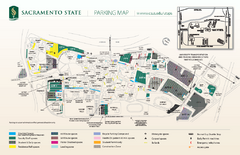
California State University at Sacramento Map
California State University at Sacramento Campus Map. All buildings shown.
369 miles away
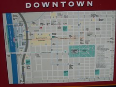
Downtown Sacramento City Map
City map of downtown Sacramento, California. From 2007 photo.
369 miles away
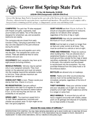
Grover Hot Springs State Park Campground Map
Map of park with detail of trails and recreation zones
369 miles away
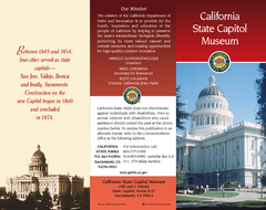
California State Capitol Museum Map
Map of museum and park
370 miles away

Downtown Sacramento, California Map
Tourist map of Downtown Sacramento, California. Museums, lodging, shopping and other attractions...
370 miles away
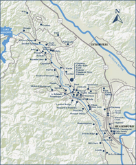
Dry Creek Valley Wineries, California Map
Map of wineries in Dry Creek Valley, California. Shows wineries and roads.
370 miles away
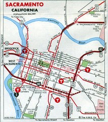
Sacramento, California City Map
370 miles away

Lake Berryessa Map
Lake Berryessa Recreational Map, Napa County, California
370 miles away

Lake Berryessa Recreation Map
Lake Berryessa Recreational Map, Napa County, California
370 miles away

Metropolis Nevada Ghost Town Map
371 miles away
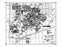
University of California at Davis Map
Campus Map of the University of California at Davis. All buildings shown.
372 miles away

