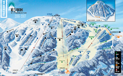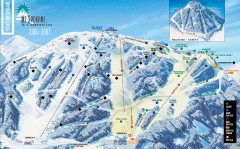
Mt. Spokane Ski Trail Map
Official ski trail map of Mount Spokane ski area from the 2006-2007 season.
345 miles away
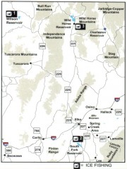
Icefishing Map, Elko County, Nevada
Map of ice fishing locations in Elko County, NV. Shows reservoirs, roads and towns.
345 miles away
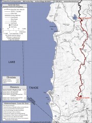
Tahoe Rim Trail: Spooner Summit to Kingsbury...
Topographic hiking map of the Spooner Summit-Kingsbury North leg of the Tahoe Rim Trail. Bike and...
345 miles away
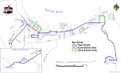
Neah Bay Bus Route Map
345 miles away
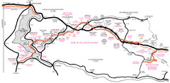
Trail of the Coeur d'Alenes Map
Shows the Trail of the Coeur d'Alenes, a 72 mile bike path that follows the Union Pacific...
345 miles away
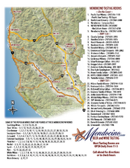
Mendocino Beer and Wine Tasting Map
Beer and wine tasting map of Mendocino county, California. Show breweries and wineries on the...
345 miles away
Auburn State Recreation Area Map
Map of park with detail of of trails and recreation zones
346 miles away
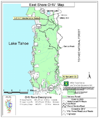
East Shore Lake Tahoe Off-highway Vehicle Map
Off-highway vehicle map of the East Shore of Lake Tahoe, California. Shows roads open to...
346 miles away
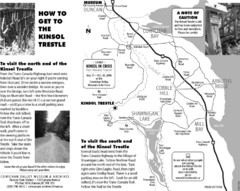
Kinsol Trestle Map
Map of the Kinsol Trestle
347 miles away
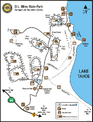
D.L. Bliss State Park Campground Map
Map of park with detail of trails and recreation zones
348 miles away
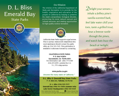
D.L. Bliss State Park Map
Map of park with detail of trails and recreation zones
348 miles away
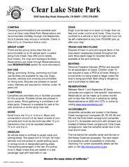
Clear Lake State Park Campground Map
Map of park with detail of trails and recreation zones
348 miles away
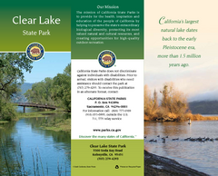
Clear Lake State Park Map
Map of park with detail of trails and recreation zones
348 miles away
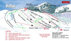
Sun Valley—Bald Mountain Ski Trail Map
Trail map from Sun Valley—Bald Mountain, which provides downhill, nordic, and terrain park skiing...
348 miles away
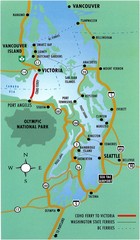
British Columbia, Canada Tourist Map
348 miles away
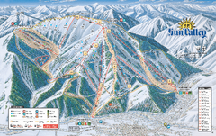
Sun Valley Ski Trail Map 2008
Ski trail map of Sun Valley ski area
348 miles away
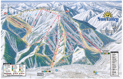
Sun Valley Ski Area Trail Map
Official ski trail map of Bald Mountain, the main mountain of Sun Valley ski area in Sun Valley...
348 miles away
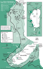
Emerald Bay State Park and DL Bliss State Park...
Trail map of Emerald Bay State Park and DL Bliss State Park on the shores of Lake Tahoe, California
349 miles away
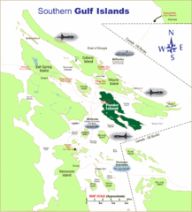
Southern Gulf Islands Map
Map of the region. Shows ferry routes.
349 miles away
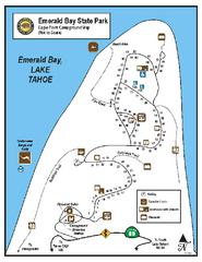
Emerald Bay State Park Campground Map
Map of park with detail of trails and recreation zones
350 miles away
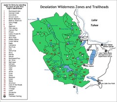
Desolation Wilderness Permits Zone Map
Zone and trailhead map of the Desolation Wilderness near Lake Tahoe, California. Use to figure out...
351 miles away
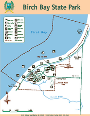
Birch Bay State Park Map
Map of park with detail of trails and recreation zones
351 miles away
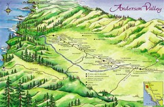
Anderson Valley Wine Map
Shows wineries/vineyards in Anderson Valley, California along Route 128 from Navarro, California to...
352 miles away
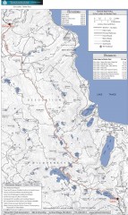
Tahoe Rim Trail: Echo Lake to Barker Pass Map
Topographic hiking map of the Echo Lake-Barker Pass leg of the Tahoe Rim Trail. Shows pedestrian...
352 miles away
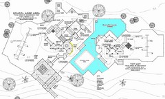
Lynden City Park Map
352 miles away
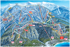
Heavenly Valley Ski Trail Map
Official ski trail map of Heavenly Valley ski area from the 2007-2008 season.
352 miles away
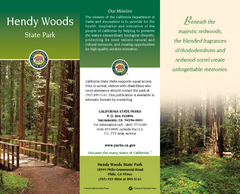
Hendy Woods State Park Map
Map of park with detail of trails and recreation zones
352 miles away
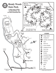
Hendy Woods State Park Map
Park map of Hendy Woods State Park in Philo, California. Shows trails, campgrounds, and other...
352 miles away
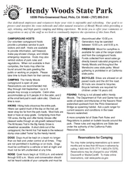
Hendy Woods State Park Campground Map
Map of campground region park with detail of trails and recreation zones
352 miles away

Philo Wine Map
Shows wineries great for wine tasting in the Anderson Valley along Route 128 in Philo California.
353 miles away
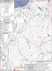
Tahoe Rim Trail: Kingsbury South to Big Meadows...
Topographic hiking map of the Kingsbury South-Big Meadows leg of the Tahoe Rim Trail. Shows...
353 miles away
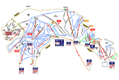
Heavenly Ski Resort Ski Trail Map
Trail map from Heavenly Ski Resort, which provides downhill, nordic, and terrain park skiing. It...
353 miles away

West Coast Trail Map
353 miles away
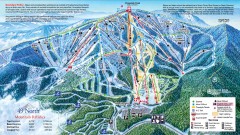
49 Degrees North Ski Trail Map
Official ski trail map of ski area from the 2007-2008 season.
353 miles away
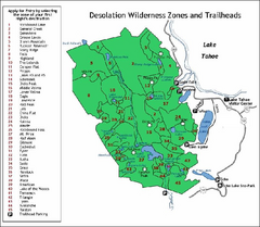
Desolation Wilderness, Lake Tahoe, California Map
Map of Desolation Wilderness, southwest of Lake Tahoe, California. Shows pack-in camping zones...
353 miles away
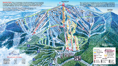
49 North Mountain Resort Ski Trail Map
Trail map from 49 North Mountain Resort, which provides downhill, night, nordic, and terrain park...
353 miles away
Silver Mountain Resort Ski Trail Map
Trail map from Silver Mountain Resort, which provides downhill, night, and terrain park skiing. It...
354 miles away
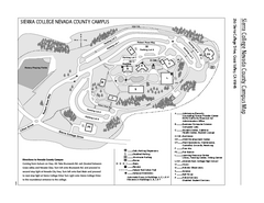
Sierra College Campus Map
Sierra College Campus Map. All buildings shown.
354 miles away

