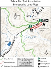
Tahoe Rim Trail: Interpretive Loop, Lake Tahoe...
Trail map of the Tahoe Rim Trail's Interpretive Loop Trail. Shows both trails, camping...
329 miles away
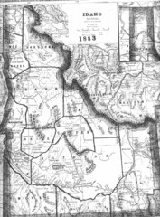
Idaho 1883 Map
329 miles away
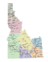
Idaho Road Map
329 miles away
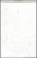
Idaho Zip Code Map
Check out this Zip code map and every other state and county zip code map zipcodeguy.com.
329 miles away

San Juan Island tourist map
San Juan Island and Friday Harbor tourist map. Shows all businesses.
329 miles away
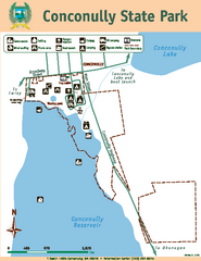
Conconully State Park Map
Map of park with detail of trails and recreation zones
330 miles away
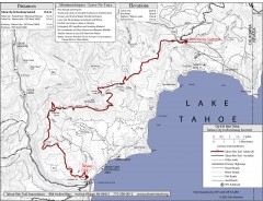
Tahoe Rim Trail: Tahoe City to Brockway Summit Map
Topographic hiking map of the Tahoe City-Brockway Summit leg of the Tahoe Rim Trail. Shows trail...
330 miles away
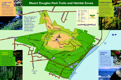
Mount Douglas Park Trails and Habitat Zones Map
330 miles away
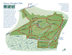
Mount Douglas Park Map
330 miles away
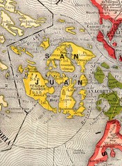
San Juan County Washington, 1909 Map
331 miles away
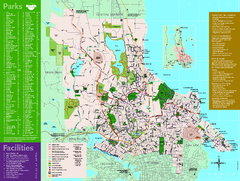
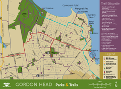
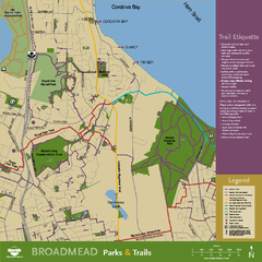
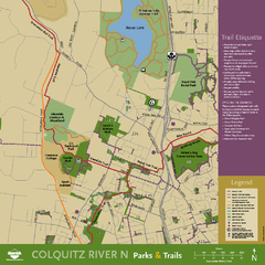
Full Map of Saanich Parks & Trails 2012
Full Map of Saanich Parks & Trails 2012
331 miles away
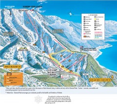
Diamond Peak Ski Trail Map
Official ski trail map of Diamond Peak ski area from the 2007-2008 season.
331 miles away
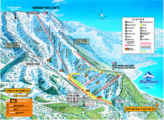
Diamond Peak Ski Trail Map
Trail map from Diamond Peak.
331 miles away
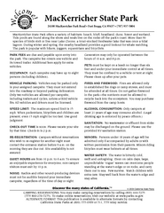
MacKerricher State Park Campground Map
Map of campground region of park with detail of trails and recreation zones
331 miles away
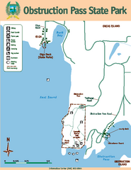
Obstruction Pass State Park Map
Map of park with detail of trails and recreation zones
331 miles away
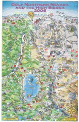
Reno and Lake Tahoe Area Golf map
Illustrated map showing all golf courses in the Reno/lake Tahoe area, 2006 version. To view more...
331 miles away
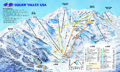
Squaw Valley USA Trail Map
Trail map of Squaw Valley ski area in Lake Tahoe, California
332 miles away
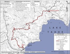
Tahoe Rim Trail Map
332 miles away
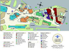
Squaw Valley Base Village Map
Village map of base of Squaw Valley Ski Resort, Lake Tahoe, California. Shows all restaurants...
332 miles away
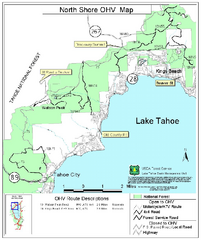
North Shore Lake Tahoe Off-Highway Vehicle Map
Off-highway vehicle map of the area around the North shore of Lake Tahoe. Roads open to motorcycles...
332 miles away
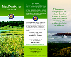
MacKerricher State Park Map
Map of park with detail of trails and recreation zones
332 miles away
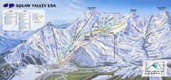
Squaw Valley USA Ski Trail Map
Trail map from Squaw Valley USA, which provides downhill, night, nordic, and terrain park skiing...
332 miles away
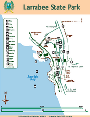
Larrabee State Park Map
Map of island with detail of trails and recreation zones
332 miles away
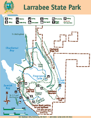
Larrabee State Park Map
Map of island with detail of trails and recreation zones
332 miles away
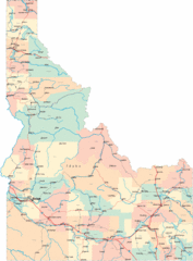
Idaho Road Map
332 miles away
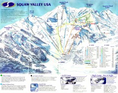
Squaw Valley Ski Trail Map
Scan of ski trail map of Squaw Valley ski area from the 2000-2001 season.
332 miles away

Galloping Goose and Lochside Regional Trails Map
332 miles away
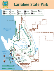
Larrabee State Park Map
Park map of Larrabee State Park, Washington.
332 miles away

Orcas tourist map
Tourist map of Orcas, Washington. Shows all businesses.
333 miles away
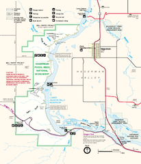
Hagerman Fossil Beds National Monument Map
Official map of Hagerman Fossil Beds National Monument in Hagerman, Idaho
333 miles away
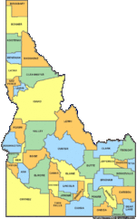
Idaho Counties Map
333 miles away
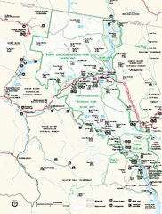
North Cascades National Park map
Official NPS map of North Cascades National Park, Washington. Shows the entire park and...
334 miles away
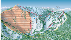
Alpine Meadows Ski Area Backside Ski Trail Map
Trail map from Alpine Meadows Ski Area, which provides downhill and terrain park skiing. It has 13...
334 miles away
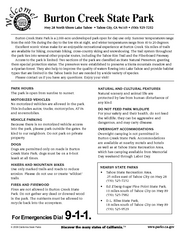
Burton Creek State Park Map
Map of park with detail of trails and recreation zones
334 miles away
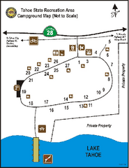
Tahoe State Recreation Area Campground Map
Map of park with detail of trails and recreation zones
334 miles away

Granite Chief Wilderness Map
Trail map of Granite Chief Wilderness in Lake Tahoe region. Shows trails (inlcuding Pacific Crest...
334 miles away
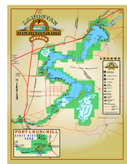
Lahontan State Recreation Area Map
Overview map of Lahontan State Recreation Area. Shows Lahontan Reservoir formed by Lahontan Dam...
334 miles away

