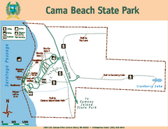
Cama Beach State Park Map
Map of park with detail of trails and recreation zones
300 miles away
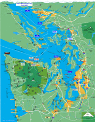
Seattle Ferry Guide Map
Map of ferries around Seattle, Puget Sound and Olympic Peninsula
301 miles away
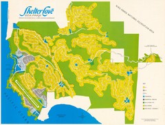
Shelter Cove Map
Shelter Cove Subdivision Map. Shows all streets, houses, commercial buildings, gas stations, and...
302 miles away

Coupeville tourist map
Tourist map of Coupeville, Washington. Shows all businesses.
304 miles away
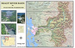
Skagit River Map
Skagit River Basin Overview Map (Pink shading is the FEMA 100 Year Flood)
305 miles away
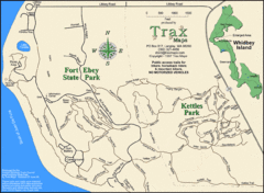
Ft Ebey/Kettle Park Trail Map
Trail map of Fort Ebey Park and Kettle Park, Washington
305 miles away
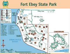
Fort Ebey State Park Map
Map of park with detail of trails and recreation zones
305 miles away
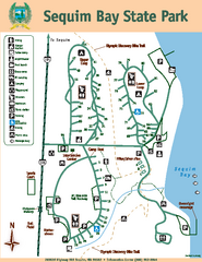
Sequim Bay State Park Map
Map of park with detail of trails and recreation zones
305 miles away
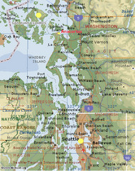
Washington State - West Coast Map
Washington State - West Coast Map
306 miles away
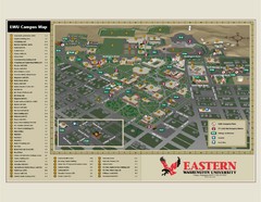
Eastern Washington University Campus Map
Campus map of Eastern Washington University in Cheney, Washington
307 miles away
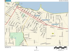
Port Angeles City Map
308 miles away

Oak Harbor tourist map
Tourist map of Oak Harbor, Washington. Shows all businesses.
309 miles away
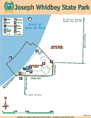
Joseph Whidbey State Park Map
Map of park with detail of trails and recreation zones
311 miles away
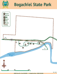
Bogachiel State Park Map
Map of park with detail of trails and recreation zones
311 miles away
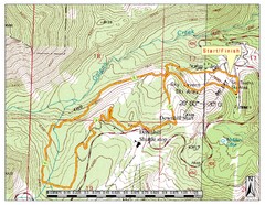
Sky Tavern XC Route Map
Topo map of the XC course for the cycling event.
311 miles away
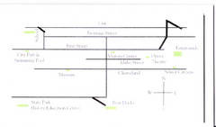
Glenns Ferry City Map
City map of Glenns Ferry, Idaho with information
311 miles away
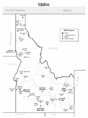
Idaho Airports Map
314 miles away

Reno Tahoe Tourist Map
314 miles away

Reno, Nevada City Map
314 miles away

Downtown Reno, Nevada Map
Tourist map of Reno, Nevada. Event and convention centers, visitor's center, parks, and other...
315 miles away
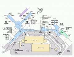
Spokane International Airport Terminal Map
Official Map of Spokane International Airport in Washington state. Shows all terminals.
316 miles away
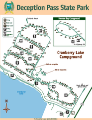
Deception Pass State Park Map
Map of park with detail of trails and recreation zones
316 miles away
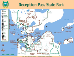
Deception Pass State Park Map
Map of park with detail of trails and recreation zones
316 miles away
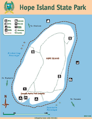
Hope Island State Park Map
Map of park with detail of trails and recreation zones
316 miles away
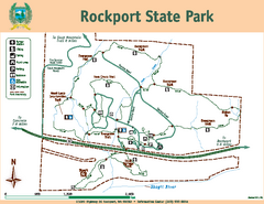
Rockport State Park Map
Map of park with detail of trails and recreation zones
317 miles away
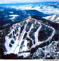
Loup Loup Ski Bowl Ski Trail Map
Trail map from Loup Loup Ski Bowl, which provides downhill, night, and nordic skiing. It has 2...
317 miles away
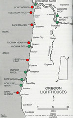
Lighthouses of the Oregon Coast Map
lighthouses (active, inactive, and destroyed) on the coast of Oregon (and the Columbia River)
317 miles away
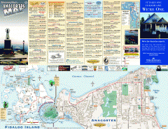
Fidalgo Island tourist map
Tourist map of Fidalgo Island in Anacortes, Washington. Shows recreation and points of interest.
319 miles away
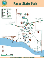
Rasar State Park Map
Map of park with detail of trails and recreation zones
319 miles away
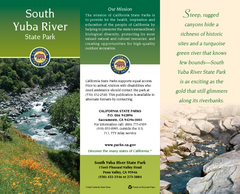
South Yuba River State Park Map
Map of park with detail of trails and recreation zones
320 miles away
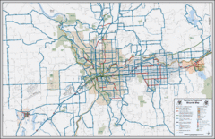
Spokane, Washington Bike Map
321 miles away
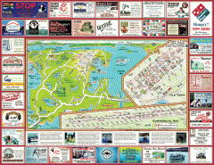
Anacortes tourist map
Tourist map of Anacortes, Washington. Shows recreation and points of interest.
321 miles away
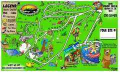
Harmony Ridge Resort Map
321 miles away
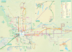
Spokane Guide Map
Roads and areas in and around Spokane, Washington
321 miles away

Tahoe Donner Ski Trail Map
Trail map from Tahoe Donner, which provides downhill, night, and nordic skiing. It has 3 lifts...
321 miles away
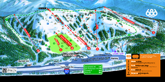
Boreal Mountain Resort Ski Trail Map
Trail map from Boreal Mountain Resort, which provides downhill, night, and terrain park skiing. It...
321 miles away
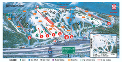
Boreal Ski Trail Map
Official ski trail map of Boreal ski area
321 miles away

Oregon Trail Historical Map
321 miles away
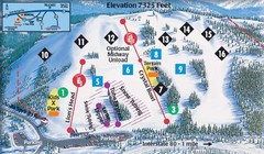
Soda Springs Ski Trail Map
Trail map from Soda Springs, which provides downhill and terrain park skiing. It has 2 lifts...
322 miles away
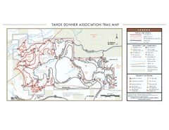
Tahoe Donner Ski Trail Map
Official ski trail map of Tahoe Donner Association. Shows both downhill and cross-country ski...
322 miles away

