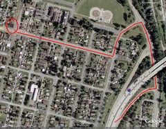
19th and Walnut in Everett, WA Map
284 miles away

Centennial Trail Map
284 miles away
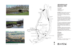
Spencer Island Park map
285 miles away

Centennial Trail Map
Centennial Trail has 23 miles completed (Snohomish to Bryant) with more in progress.
285 miles away

South Whidbey Island tourist map
Tourist map of South Whidbey Island, Washington. Shows all businesses.
287 miles away
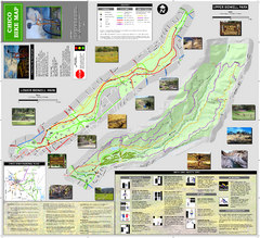
Upper and Lower Bidwell Park Bike Map
Bike map of Upper Bidwell Park and Lower Bidwell Park in Chico, California
287 miles away
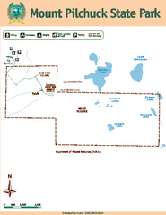
Mount Pilchuck State Park Map
Map of park with detail of trails and recreation zones
287 miles away

South Whidbey tourist map
Tourist map of South Whidbey, Washington. Shows all businesses.
288 miles away

Chico, California City Map
289 miles away
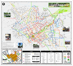
Chico Bike Map
Bicycle route map of Chico, California
289 miles away
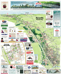
Marysville tourist map
Tourist map of Marysville, Washington. Shows all businesses.
289 miles away
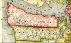
Clallam and Jefferson Counties Washington, 1909...
290 miles away
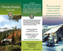
Plumas-Eureka State Park Map
Map of park with detail of trails and recreation zones
290 miles away
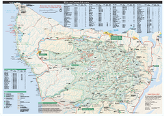
Olympic National Park wilderness campsite map
Official wilderness campsite map of Olympic National Park. Shows roads, trails, visitor...
290 miles away
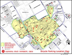
California State University, Chico Bike Parking...
Map that highlights all the available bike parking area and bike routes throughout the campus and...
291 miles away
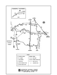
Mendocino National Forest map
Map of the Nome Cult Trail Walk in the Mendocino National Forest.
291 miles away
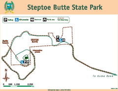
Steptoe Butt State Park Map
Map of park with detail of trails and recreation zones
292 miles away
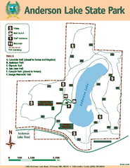
Anderson Lake State Park Map
Map of park and trails
292 miles away
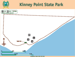
Kinney Point State Park Map
Map of island with detail of trails and recreation zones
293 miles away

Whidbey Island tourist map
Tourist map of Whidbey Island and Coupeville, Washington. Shows all businesses.
293 miles away
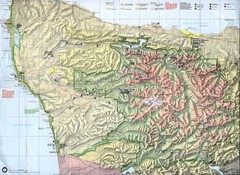
Olympic National Park Map
293 miles away
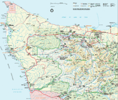
Olympic National Park Map
293 miles away
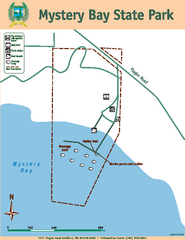
Mystery Bay State Park Map
Map of park with detail of trails and recreation zones
294 miles away
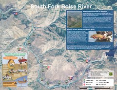
South Fork Boise River Map
Map of the South Fork of the Boise River from Anderson Ranch Dam to Neal Bridge. Premier wild...
294 miles away
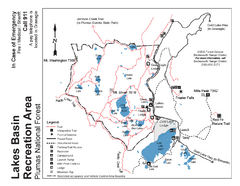
Lakes Basin Recreation Area Trail Map
Trail map of Lakes Basin Recreation Area in Plumas National Forest near Graeagle, California...
294 miles away
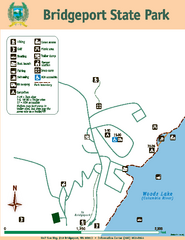
Bridgeport State Park Map
Map of park with detail of trails and recreation zones
294 miles away
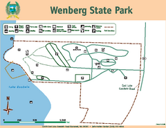
Wenberg State Park Map
Map of park with detail of trails and recreation zones
295 miles away
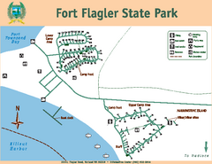
Fort Flagler State Park Map
Map of park with detail of trails and recreation zones
296 miles away
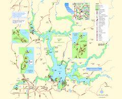
Lake Oroville State Recreation Area Map
Map of recreation area with detail of trails and recreation zones
296 miles away
Lake Oroville State Recreation Area Map
Map of recreation area with detail of trails and recreation zones
297 miles away
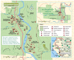
Richardson Grove State Park Map
Park map of Richardson Grove State Park, California. Shows trails, campgrounds, and other...
297 miles away
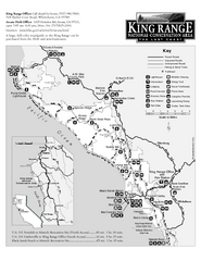
King Range National Conservation Area Trail Map
Trail map of the King Range National Conservation Area, home of the Lost Coast, California. Shows...
297 miles away
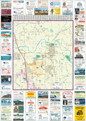
Arlington tourist map
Tourist map of Arlington, Washington. Shows all businesses.
298 miles away

Arlington and Smokey Point tourist map
Tourist map of Arlington and Smokey Point, Washington. Shows all businesses.
298 miles away
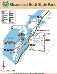
Steamboat Rock State Park Map
Map of park with detail of trails and recreation zones
298 miles away
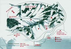
Hurricane Ridge Ski Trail Map
Trail map from Hurricane Ridge.
299 miles away
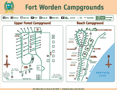
Fort Worden Campgrounds Map
Map of park campgrounds
300 miles away
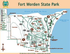
Fort Worden State Park Map
Map of park with detail of trails and recreation zones
300 miles away
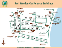
Fort Worden Conference Buildings Map
Map of conference buildings in Fort Worden State Park
300 miles away
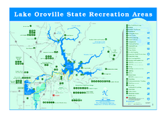
Lake Oroville State Recreation Area Map
Recreation overview map of Lake Oroville State Recreation Area near Oroville, California. Show all...
300 miles away

