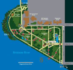
Brisbane City Botanic Gardens Map
Map of Brisbane City Botanic Gardens with suggested walking trail
2243 miles away
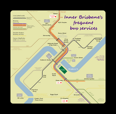
Inner Brisbane bus guide Map
2243 miles away
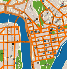
Brisbane Hotel Map
2243 miles away
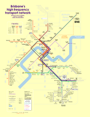
Brisbane frequent service guide Map
2243 miles away
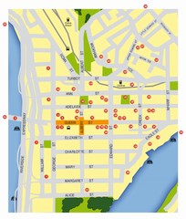
Brisbane City Map
City map of Brisbane with reference to architecture.
2243 miles away
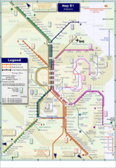
Brisbane Rail Map
Map of rail transit system in Brisbane
2243 miles away
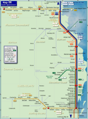
Southern Queensland Rail Map
Map of long-distance rail system throughout the Southern Queensland region
2244 miles away
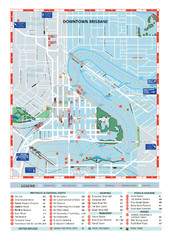
Downtown Brisbane Map
My Travel Maps: travel maps
2244 miles away
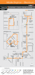
Brighton Transit Map
2248 miles away
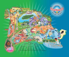
Dreamworld Visitor Map
Dreamworld amusement park visitor map.
2252 miles away
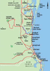
Gold Coast, Australia Beach Map
2252 miles away
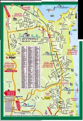
Byron Bay Tourist Map
2254 miles away
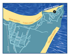
Wategos Beach, Australia Beach Map
2256 miles away
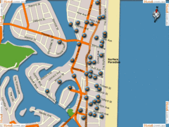
Surfers Paradise Hotel Map
2256 miles away
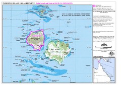
Badu Island Land Use Map
Land use agreement map on Badu Island in the Torres Strait.
2258 miles away
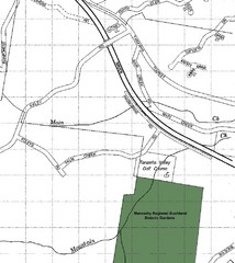
Maroochy Regional Bushland Botanic Garden in...
Map shows area surrounding the Maroochy Regional Bushland Botanic Garden in Tanawha, Queensland...
2260 miles away
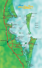
Moreton Bay, Australia Beach Map
2260 miles away
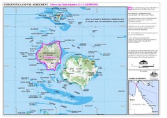
Badu Island and Moa Island Map
2263 miles away
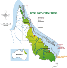
Great Barrier Reef Basin Map
2266 miles away
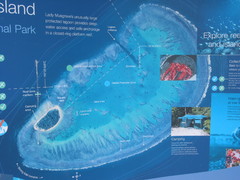
Lady Musgrave Island Map
Photo of map showing isliand and Lady Musgrave Reef
2290 miles away
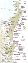
Campground Map Great Sandy National Park
2299 miles away
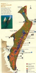
Fraser Island Map
Shows vegetation on Fraser Island, Australia the largest sand island in the world.
2299 miles away
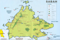
Sabah Map
Location Map of National Parks of Sabah, South Asia. Includes towns, roads, parks, mountains, and...
2304 miles away

Fraser Island Map
2308 miles away
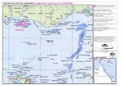
Torres Strait Land Use Map
Map of land use agreement for Boigu Island. Shows islands in the Torres Strait between Papua New...
2311 miles away
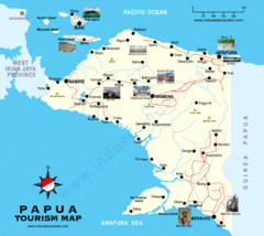
Papua Tourist Map
Tourist map of Papua, Indonesia. Shows photos of some locations.
2320 miles away
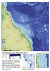
Great Barrier Reef and Coral Sea Bathymetry Map
High resolution depth and elevation map of the Great Barrier Reef, Coral Sea and neighbouring...
2328 miles away
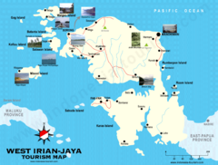
West Irian Jaya Tourist Map
Tourist map of West Irian-Jaya, Indonesia. Shows photos of interesting points.
2342 miles away
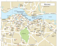
Kuching Guide Map
2346 miles away
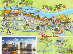
Kuching Tourist Map
Guide to Kuching, Sarawak
2346 miles away
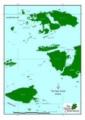
Raja Ampat Islands Map
2353 miles away
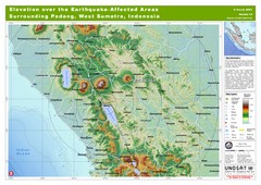
Elevation Over the Earthquake -Affected Areas of...
This map represents the range of elevation for the area affected by the 6.3 magnitude earthquake...
2371 miles away
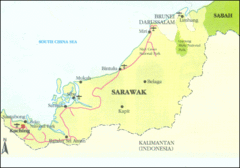
Sarawak Map
Map of Sarawak, a state on the island of Borneo.
2380 miles away
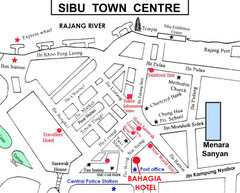
Sibu Tourist Map
2385 miles away
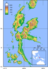
Halmahera Topography Map
Shows color coded shaded relief of island of Halmahera, Indonesia.
2388 miles away
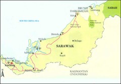
Sarawak Malaysia Map
2394 miles away
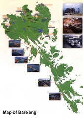
Barelang Bridge Map
Shows ferry terminals, airport, and chain of 6 bridges (with photos) known as the Barelang Bridge...
2396 miles away
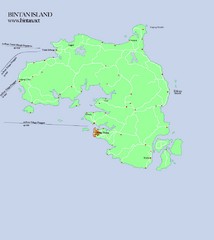
Bintan Island Map
Overview map of Bintan Island
2399 miles away

