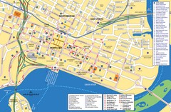
Perth Street Map
Tourist map of Perth, with detail of streets, hotels and tourist attractions
0 miles away
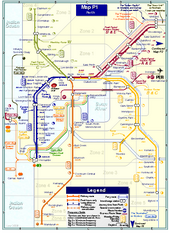
Perth Rail Map
Map of rail system throughout Perth and surrounding area
less than 1 mile away
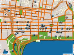
Perth Hotel Map
less than 1 mile away
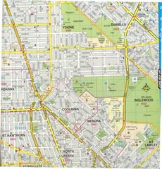
Central Perth, Australia City Map
less than 1 mile away
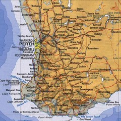
Perth, Australia Region and City Map
less than 1 mile away
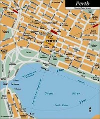
Perth, Australia City Map
less than 1 mile away
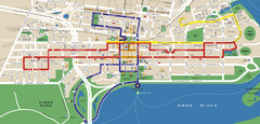
Perth, Australia Public Transportation Map
less than 1 mile away
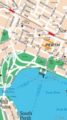
Central Perth, Australia City Map
less than 1 mile away
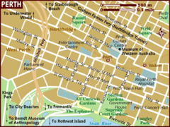
Perth, Australia City Map
less than 1 mile away
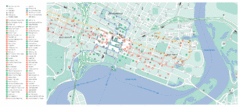
Perth City Map
City map of Perth with information and attractions
less than 1 mile away
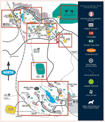
Whiteman Park Map
9 miles away
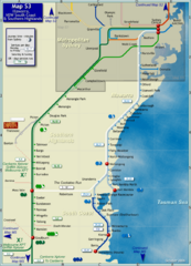
Illawarra Rail Map
Map of rail system throughout Illawarra, New South Wales South Coast, and Southern Highlands
13 miles away
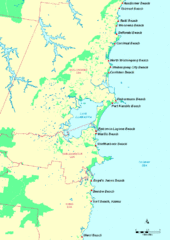
Illawarra, Australia Beach Tourist Map
20 miles away
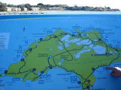
Rottnest Island Map
Tourist map of Rottnest Island, Australia. From photo.
22 miles away

Bruce Rock Town Map
134 miles away
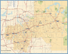
Wheatbelt Central Western Australia Map
Map of the central wheatbelt area near Merredin, Western Australia
146 miles away

Western Australia State Barrier Fence Map
Map shows the Rabbit barrier fence built in 1901 in Burracoppin and Merredin just east of Perth.
158 miles away

Denmark, Western Australia East District Guide Map
The eastern district of Denmark, Western Australia
225 miles away

Denmark, Western Australia Guide Map
Locations and areas in Denmark, Western Australia
225 miles away
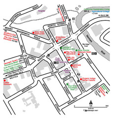
Denmark Western Australia Tourist Map
Tourist map of town of Denmark, Western Australia. Shows accommodations and restaurants.
225 miles away
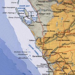
Geraldton, Australia Region Map
232 miles away
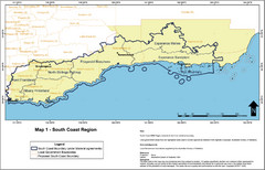
Australia South Coast Region Map
The South Coast region of Australia and proposed new boundaries by Natural Resources Management...
261 miles away
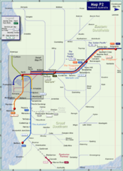
Western Australia Rail Map
Map of long-distance rail system throughout Western Australia
337 miles away
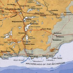
Esperance, Australia Tourist Map
A map of the Esperance region in Australia.
374 miles away
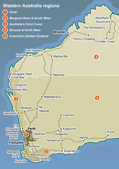
Western Australia Map
Map of Western Australia region with detail of districts
432 miles away
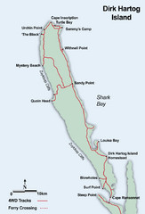
Dirk Hartog Island Map
456 miles away
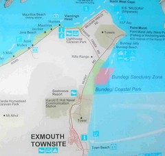
Exmouth, Australia Beach Map
677 miles away
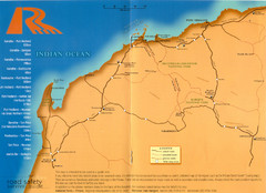
Karratha Road Map
Road Map shows all roads around Karratha, and the distances in Kilometers to other towns.
767 miles away
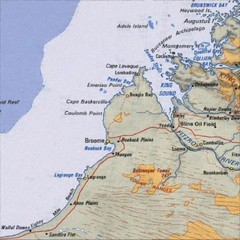
Central Western Australia Region Map
1004 miles away
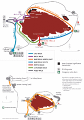
Uluru Walks Map
Shows walks around Uluru (aka Ayer's Rock) in the Outback
1026 miles away
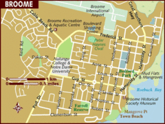
Broome, Australia City Map
1047 miles away
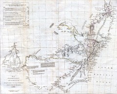
1832 South Australia Historical Map
An 1832 map of Southern Australia
1073 miles away
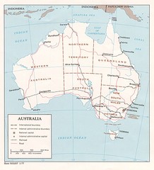
Australia Map
Map of Austraila showing territory boundaries, major cities and railways.
1111 miles away
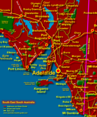
South East South Australia Beach Map
1121 miles away
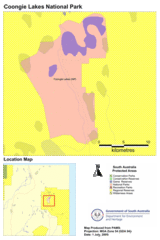
Coongie Lakes National Park Guide Map
1132 miles away
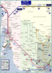
South Australia Map
Map of long-distance rail system throughout South Australia and Western Victoria
1137 miles away
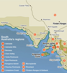
South Australia Map
Map of South Australia region with detail of districts
1169 miles away
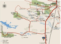
Alice Springs to Uluru Map
1170 miles away
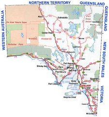
Southern Australia Area Map
Map of Southern Australia.
1178 miles away


