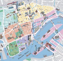
Rotterdam Tourist Map
Tourist map of Rotterdam, Netherlands. Largest port in Europe.
0 miles away
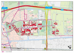
Delft University of Technology Campus Map
7 miles away
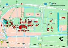
Delft University of Technology Map
9 miles away
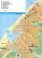
The Hague Hotel Map
Hotel map of The Hague, Netherlands. Shows tram stops. Congress centre highlighted.
13 miles away
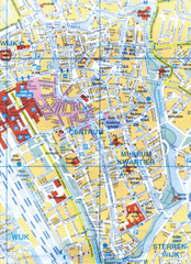
Utrecht, Netherlands Tourist Map
13 miles away
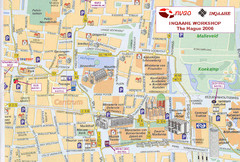
Den Haag, Netherlands Tourist Map
13 miles away
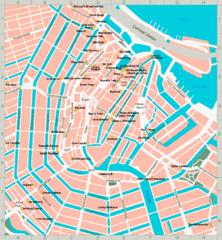
Den Haag, Netherlands Tourist Map
13 miles away
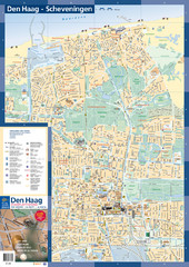
The Hague Tourist Map
Tourist map of The Hague, Netherlands. Shows points of interest.
14 miles away
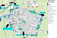
Leiden Tourist Map
Tourist map of downtown Leiden, The Netherlands. Shows some hotels and other points of interest.
17 miles away
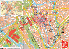
Utrecht Map
30 miles away
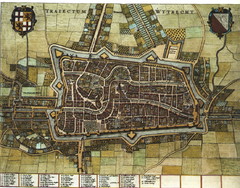
Historic map of Utrecht in 1652
30 miles away
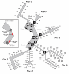
Amsterdam Airport Schipol Map
31 miles away
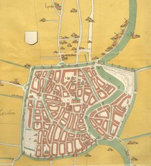
Haarlem City Map
Haarlem city center map from 1550
33 miles away
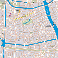
De Pijp Neighborhood Map
De Pijp neighborhood in Amsterdam map
35 miles away
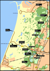
Nationaal Park Zuid-Kennemerland Map
Park overview map of Zuid-Kennemerland National Park (NPZK), Netherlands
36 miles away
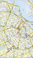
Amsterdam Central City Map
City map of Amsterdam Central
36 miles away
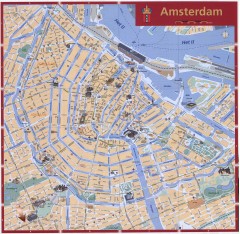
Amsterdam Tourist map
Shows major tourist points of interest. Scanned.
36 miles away
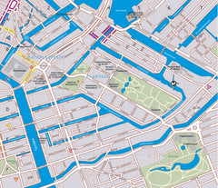
Waterlooplein, Plantage and Oosterpark Tourist Map
Waterlooplein, Plantage and Oosterpark neighborhoods in Amsterdam
36 miles away
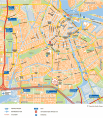
Amsterdam Tourist Map
37 miles away
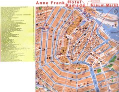
Amsterdam Tourist Map
37 miles away
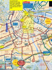
Amsterdam Hotel Map
37 miles away
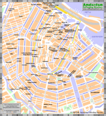
Amsterdam Coffee Shops Map
37 miles away
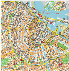
Amsterdam City Tourist Map
37 miles away
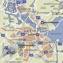
Amsterdam Airport Tourist Map
37 miles away
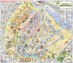
Amsterdam City Tourist Map
37 miles away
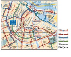
Amsterdam Transit Map
37 miles away
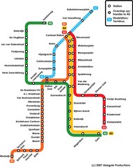
Amsterdam Metro Map
37 miles away
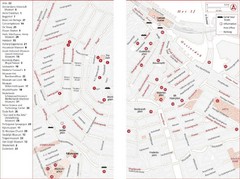
Amsterdam Tourist Map
Main attractions for sightseers in Amsterdam
37 miles away
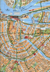
Amsterdam Center Map
37 miles away
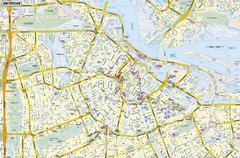
Amsterdam Map
Street map of Amsterdam, Netherlands.
37 miles away
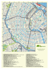
Amsterdam Map
Guide to cannabis cafes in Amsterdam
37 miles away
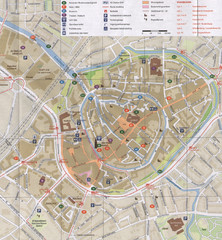
Amersfoort Map
42 miles away
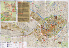
Amersfoort Map
42 miles away
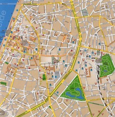
Antwerp Tourist Map
Tourist map of central Antwerp, Belgium. Scanned.
48 miles away
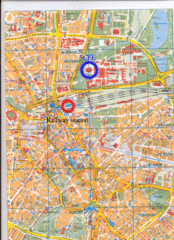
Eindhoven City Map
City map of center of Eindhoven, The Netherlands
54 miles away
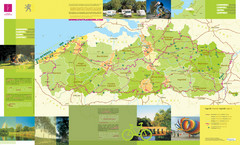
Flanders Camping and Cycling Map
Shows campgrounds and cycling routes in Flanders, Belgium
67 miles away
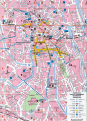
Ghent Walking Tour Map
Tourist and walking tour map of Ghent, Belgium. Shows points of interest.
68 miles away
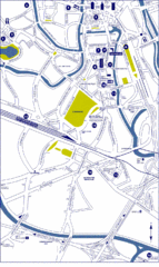
Ghent City Map
City map of Ghent with attractiosn
68 miles away
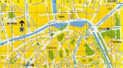
North Bruges Map
Map of northern part of Bruges city
72 miles away


 Explore Maps
 Map Directory
