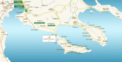
Chalkidiki Map
Map of Chalkidiki, Greece region showing 3 peninsulas.
285 miles away
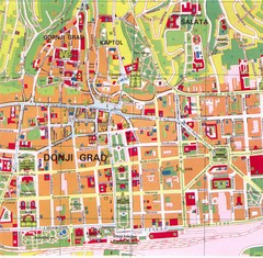
Zagreb Tourist Map
Tourist map of central Zagreb, Croatia. Shows major buildings.
285 miles away
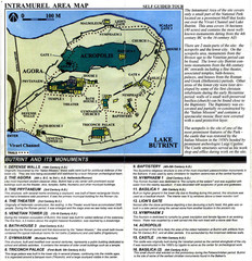
Butrint and its monuments Map
286 miles away
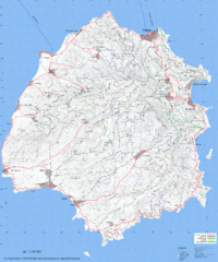
Thassos Topo Map
Topographical map of island of Thassos, Greece. Shows roads and trails.
286 miles away
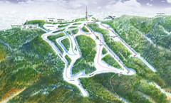
Medvednica Ski Trail Map
Trail map from Medvednica.
289 miles away
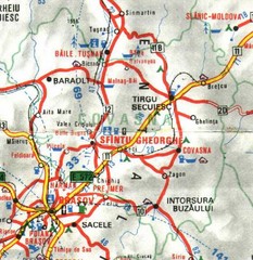
Covasna Map
289 miles away
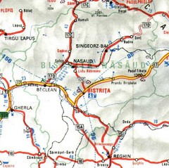
Bistrita-Nasaud Map
292 miles away
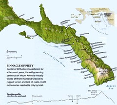
Mount Athos Monasteries Map
294 miles away
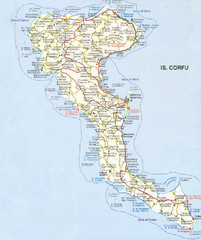
Corfu Guide Map
295 miles away
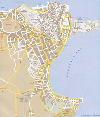
Corfu Town Map
Tourist map of town of Corfu (Kerkyra) on the island of Corfu, Greece.
295 miles away
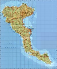
Corfu Tourist Map
Tourist map of island of Corfu, Greece. Shows roads and points of interest.
295 miles away
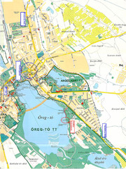
Tatai Öreg-tó Map
295 miles away
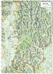
Villages and Sutla River Valley Bike Route Map
Bike routes and trails through the villages to the Sutla River Valley in Croatia. Note: The map...
296 miles away
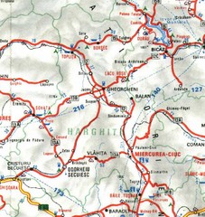
Harghita Map
296 miles away
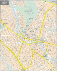
Trikala Street Map
Street map of central Trikala, Greece. In Greek and English. Scanned.
296 miles away
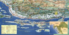
Pag Island Panoramic Map
Shows area around island of Pag, Croatia
297 miles away
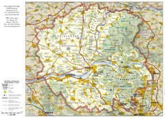
Duna-Ipoly Nemzeti National Park Map
Reference map of Duna-Ipoly Nemzeti National Park and surrounding area north of Budapest, Hungary
299 miles away
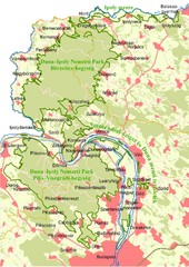
Duna-Ipoly Nemzeti Park Map
Overview map of Duna-Ipoly Nemzeti Park (Danube-Ipoly National Park) north of Budapest, Hungary
299 miles away
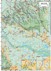
Sulta and Sava Croatia Cycling Route Map
the trails on this map are through picturesque hills to the confluence of the Sutla and Sava Rivers...
299 miles away
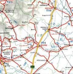
Buzau Map
299 miles away
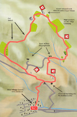
Sikia Circular Walk Map
Map of a circular walk from Sikia. 4 hours. From agrotravel.gr: "This walk takes one on a...
300 miles away
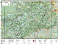
Samobor Region Cycling Route Map
Cycling route map for region west of Samobor, Croatia. Shows all routes in km
301 miles away
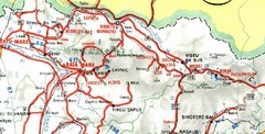
Maramures Map
302 miles away
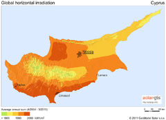
Solar Radiation Map of Cyprus
Solar Radiation Map Based on high resolution Solar Radiation Database: SolarGIS. On the Solar Map...
302 miles away
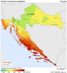
Solar Radiation Map of Croatia
Solar Radiation Map Based on high resolution Solar Radiation Database: SolarGIS. On the Solar Map...
302 miles away
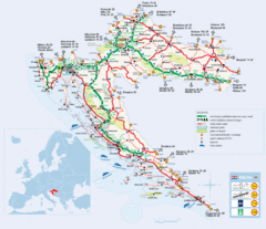
Coratia Tourist Map
Map of Croatia showing roads, international border crossings, parks, airports and ferrys.
302 miles away
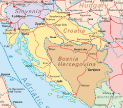
Interrail Routes for Croatia Map
Interrail railway routes for Croatia, Bosnia Hercegovina, Slovenia, and Hungary.
302 miles away
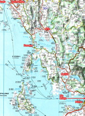
Igoumenitsa to Patras Travel Map
303 miles away
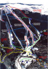
3–5 Pigadia Ski Trail Map
Trail map from 3–5 Pigadia.
307 miles away

Ialomita Map
308 miles away

Silistra, Bulgaria Tourist Map
Areas and locations in Silistra, Bulgaria
310 miles away
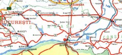
Calarasi Map
313 miles away
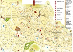
Matera Tourist Map
Tourist map of Matera, Italy. Shows points of interest.
314 miles away
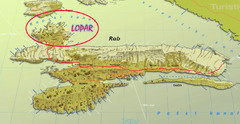
Rab Island Map
Shows beaches on Rab Island, Croatia
319 miles away
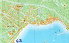
Baska Krk Tourist Map
Tourist map of Baska Krk, Croatia. Scanned.
322 miles away
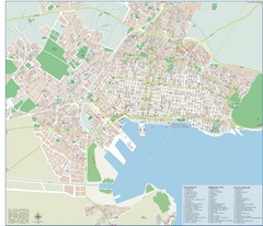
Volos Tourist Map
Tourist map of Volos, Greece. Shows points of interest and some conference info.
322 miles away

Novi Vinodolski Street Map
Street map of Novi Vinodolski, Croatia. Scanned.
322 miles away
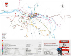
Maribor Bus Map
A map of bus lines in Maribor, Slovenia (Slovenian).
325 miles away


