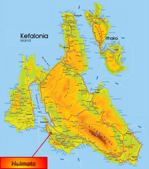
Kefalonia Map
385 miles away
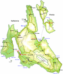
Kefalonia and Ithaka Overview Map
Overview map of the islands of Kefalonia and Ithaka (Ithaki), Greece.
385 miles away
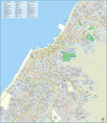
Patra Tourist Map
Tourist map of central Patra, Greece. Shows points of interest.
385 miles away
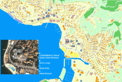
Portorož Lodging Map
386 miles away
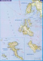
Ionian Islands Map
Overview map of the Greek Ionian Islands including Lefkada, Kefalonia, Zakynthos, Corfu, and Paxo...
387 miles away

Umag Tourist Map
Tourist map of Umag, Croatia. Shows restaurants and lodging.
387 miles away
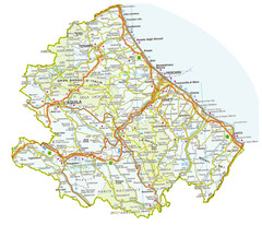
Abruzzo Province Map
388 miles away
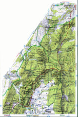
Sulovske vrchy Map
389 miles away
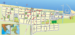
Paralia Tourist Map
Tourist map of Paralia, Greece. Shows hotel locations. Insets show location in Greece.
389 miles away
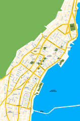
Argostoli City Map
Simple street map of island city of Argostoli, Kefalonia, Greece. Some points of interest shown.
390 miles away
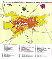
Barisciano Tourist Map
Tourist map of historic center of Barisciano, Italy. Points of interest labeled.
390 miles away

Tolentino Map
391 miles away

Jesi Map
391 miles away
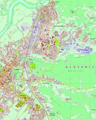
Map of Nova Gorica, Slovenia
392 miles away
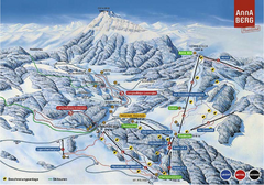
Annaberg Ski Trail Map
Trail map from Annaberg.
392 miles away
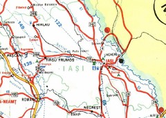
Iasi Map
393 miles away
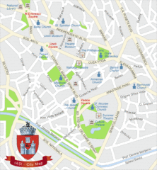
Iasi Tourist Map
Tourist map of central Iasi, Romania. Shows theaters, museums, and churches.
393 miles away
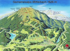
Mitterbach-Gemeindalpe Summer Ski Trail Map
Trail map from Mitterbach-Gemeindalpe.
394 miles away
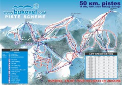
Bukovel Ski Resort Map
Map of Bukovel's slopes, lifts and resort
394 miles away
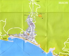
Maiori Map
394 miles away
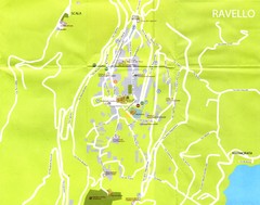
Ravello Map
395 miles away
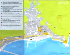
Amalfi Map
396 miles away
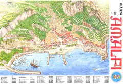
Amalfi Map
396 miles away
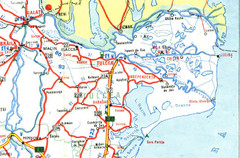
Tulcea Romania Road Map
Road Map of Tulcea, Romania showing major roads, cities and amenities.
396 miles away
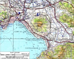
Mount Vesuvius Contour Map
Contour map of Mount Vesuvius and surrounding area. Rodad and cities also identified.
396 miles away
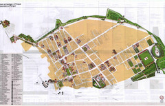
Pompei Map
Tourist map of Pompei, Italy. Shows excavations. Scanned, some bleed through. In English and...
396 miles away

Agean Sea Map
397 miles away
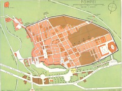
Pompei scavi Map
old tourist map of the excavated area
397 miles away
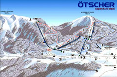
Ötscher Lackenhof Ski Trail Map
Trail map from Ötscher Lackenhof.
397 miles away
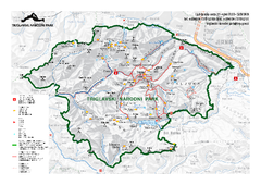
Triglav National Park Map
Triglav National Park is the only Slovenian national park. The park was named after Triglav, the...
399 miles away
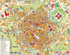
L'Aquila City Map
City map of L'Aquila, Italy. Shows points of interest.
399 miles away
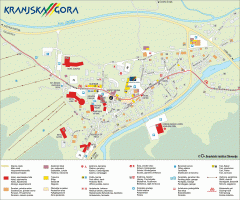
Kranjska Gora town map
Blurb from town website: The Zgornjesavska Valley is one of the most breathtaking alpine valleys...
400 miles away
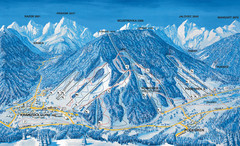
Kranjska Gora Ski Trail Map
Ski trail map of Kranjska Gora ski area.
400 miles away
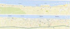
Fano beach suburbs Map
401 miles away
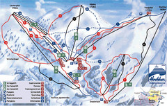
Hochkar Ski Trail Map
Trail map from Hochkar.
401 miles away
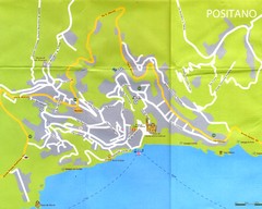
Positano Map
401 miles away
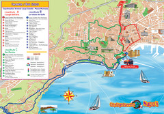
Naples Tourist Map
Tourist map of Naples, Italy. Shows bus routes.
403 miles away

Mondavio Map
404 miles away
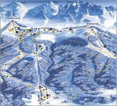
Arnoldstein—Dreiländereck Ski Trail Map
Trail map from Arnoldstein—Dreiländereck, which provides downhill skiing. It has 8 lifts. This...
405 miles away

