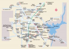
Las Vegas Surrounding Areas, Nevada Map
Tourist map of the areas surrounding Las Vegas, Nevada. Shows hotels and inns outside of downtown...
285 miles away
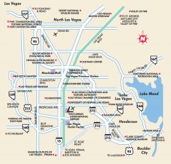
Point of Interest in Las Vegas, Nevada Map
Tourist map of Las Vegas, Nevada. Shows museums, government buildings, and other attractions.
285 miles away
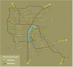
Golf Courses near Las Vegas, Nevada Map
Map of golf courses in and around Las Vegas, Nevada. Shows public and private courses, as well as...
285 miles away

California Bio-science Company Map
Shows logos of biotech companies in California from San Francisco to San Diego.
285 miles away
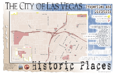
Las Vegas Historical Landmarks Map
285 miles away
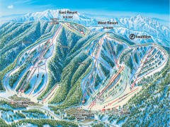
Mountain High Ski Trail Map - East and West Resort
Official ski trail map of Mountain High ski area for the East Resort and West Resort
286 miles away

Community College of Southern Nevada Map
Campus Area map of the Community College of Southern Nevada. The college is located on three main...
286 miles away
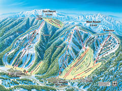
Mountain High Resort East & West Resorts Ski...
Trail map from Mountain High Resort, which provides downhill, night, and terrain park skiing. It...
286 miles away
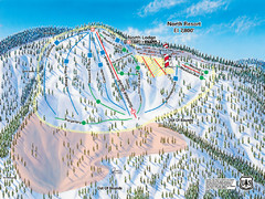
Mountain High Resort North Resort Ski Trail Map
Trail map from Mountain High Resort, which provides downhill, night, and terrain park skiing. It...
286 miles away
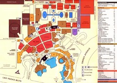
Las Vegas Tourist Map
287 miles away
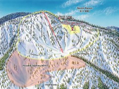
Mountain High Ski Trail Map - North Resort
Official ski trail map of Mountain High ski area for the North Resort
287 miles away
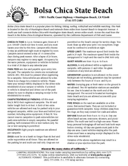
Bolsa Chica State Beach Map
Map of park with detail of of trails and recreation zones
287 miles away
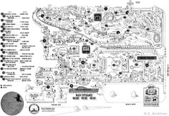
Knott's Berry Farm, Halloween 1976 Map
288 miles away
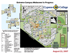
Cypress College Campus Map
Cypress College Campus Map. All buildings shown.
289 miles away
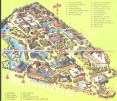
Japanese Village and Deer Park Map
Large and clear map.
289 miles away
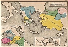
Historical Map of Mediterranean Sea B.C. 1884
"The Eastern half of the Mediterranean Sea during the two centuries preceeding the birth of...
290 miles away
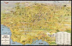
Los Angeles – the wonder city of America...
Leuschner's 1934 map "Los Angeles – the wonder city of America".
290 miles away
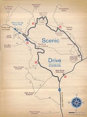
Red Rock Canyon Trail Map
Hiking trail map
291 miles away
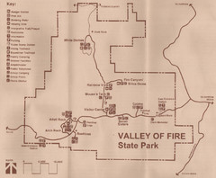
Valley of Fire State Park Map
Scanned from park brochure
292 miles away
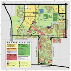
California State University Long Beach Map
Parking and Visitor Map of CSU Long Beach. Shows locations of all buildings, streets, and detailed...
292 miles away
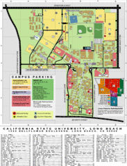
CSU Long Beach Campus Map
293 miles away
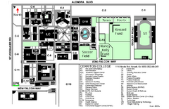
Cerritos College Campus Map
Cerritos College Campus Map. Shows all areas.
293 miles away
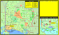
Bike Routes, Long Beach, California Map
Bicycle path map of Long Beach, California. Shows bike paths, bike centers, and public...
294 miles away
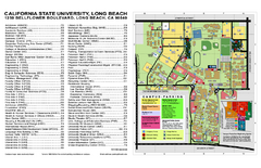
California State University at Long Beach Map
Campus Map of California State University at Long Beach. All buildings shown.
294 miles away
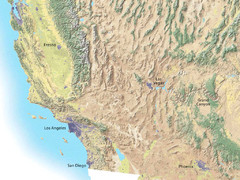
Southwest USA topo Map
295 miles away

Long Beach, California City Map
295 miles away
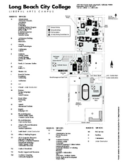
Long Beach City College - Liberal Arts Campus Map
Long Beach City College Liberal Arts Campus Map. All buildings shown.
295 miles away
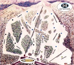
Kratka Ridge Ski Trail Map
Trail map from Kratka Ridge.
296 miles away
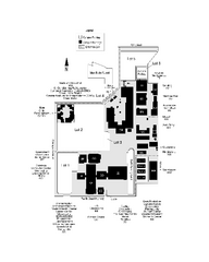
Long Beach City College - Pacific Coast Campus Map
Long Beach City College - Pacific Coast Campus Map. All buildings shown.
296 miles away
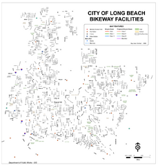
Long Beach Bike Routes Map
296 miles away
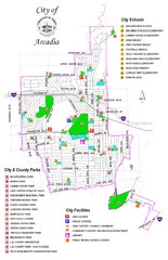
Arcadia City Parks Map
City parks map of Arcadia, California. Also shows schools.
298 miles away
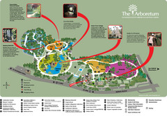
Arboretum Map
Visitor map of the Arboretum
298 miles away
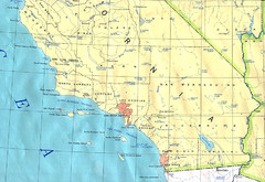
Southern California Map
299 miles away

Hopi Reservation Map
Hopi Reservation locations in Arizona
299 miles away

South Los Angeles Tourist Map
300 miles away
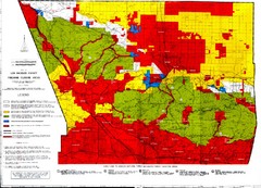
Los Angeles County Firearms Closure Area Map
This map shows where you can use archery, shotgun and rifle to hunt.
300 miles away
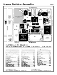
Pasadena City College Campus Map
Pasadena City College Campus Map. Shows all areas.
302 miles away
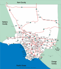
Los Angeles County Highway Map
Map of Los Angeles County highways and freeways.
302 miles away
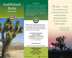
Saddleback Butte State Park Map
Map of park with detail of trails and recreation zones
302 miles away
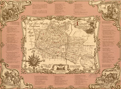
East Los Angeles Murals Map
The Goez Map Guide to the Murals of East Los Angeles, CA
303 miles away

