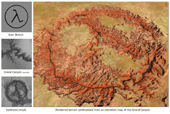
Rendered Terrain of the Grand Canyon Map
Created from Digital Elevation Models
262 miles away
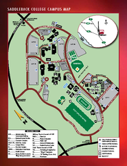
Saddleback College Map
263 miles away
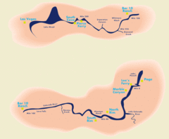
Grand Canyon River Rafting Map
Guide to the Colorado River, Grand Canyon river rafting
263 miles away

Limestone Canyon & Whiting Ranch Wilderness...
265 miles away
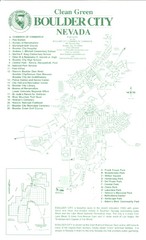
Boulder City Map
Map of Boulder City, Nevada. Shows points of interest and parks.
266 miles away
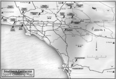
Southern California Sport Climbing Map
Guide to major sport climbing areas in Southern California
266 miles away
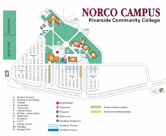
Riverside Community College Map
Map of Norco Campus
267 miles away
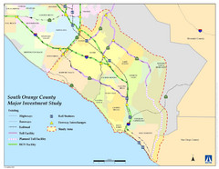
Orange County Map
267 miles away
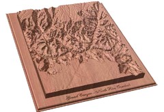
North Rim of the Grand Canyon carved by...
Grand Canyon carved by CarvedMaps.com. They specialize in hard wood carved maps of anywhere within...
267 miles away
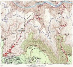
Grand Canyon Hiking Trail Map
Topo map of the Grand Canyon with a loop hike down the South Kaibab Trail and up Bright Angel Trail...
269 miles away
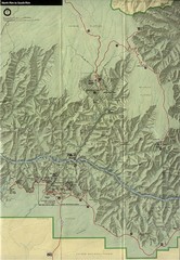
Grand Canyon National Park Map
269 miles away
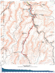
Grand Canyon Havasupai Campground Map
The Grand Canyon Havasupai Campground Map
269 miles away
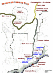
Toroweap Park Map
269 miles away
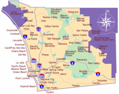
Laguna Beach Tourist Map
269 miles away
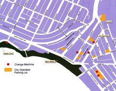
Downtown Laguna Beach Tourist Map
269 miles away
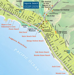
Laguna Beach Tourist Map
269 miles away
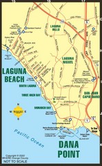
Laguna Beach Tourist Map
269 miles away
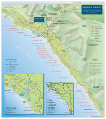
Laguna Beach Tourist Map
269 miles away
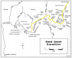
Grand Canyon River Expedition Map
Guide to the Colorado River, rapids and washes
269 miles away
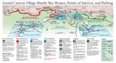
Grand Canyon Shuttle Bus Map
Guide to shuttle bus routes, points of interest and parking in Grand Canyon National Park
270 miles away
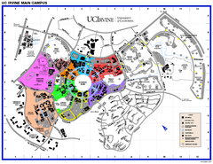
University of California at Irvine Map
University of California at Irvine Campus Map. All areas shown.
273 miles away
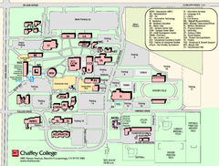
Chaffey College Rancho Cucamonga Campus Map
Chaffey College Rancho Cucamonga Campus Map. All buildings shown.
273 miles away
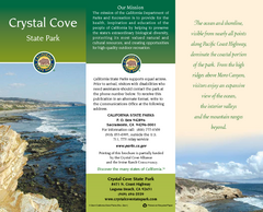
Crystal Cove State Park Map
Map of park with detail of trails and recreation zones
273 miles away
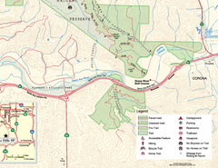
Chino Hills State Park SE Map
Map of SE portion park with detail of trails and recreation zones
273 miles away
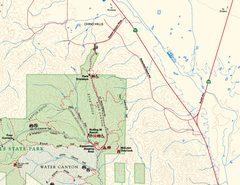
Chino Hills State Park NE Map
Map of NE portion of park with detail of trails and recreation zones
275 miles away
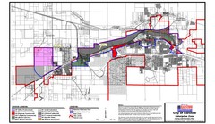
City of Barstow Zoning Map
Map illustrates the zoning and boundary areas of the city of Barstow.
275 miles away
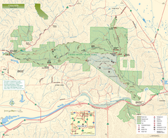
Chino Hills State Park Map
Overview map of park with detail of trails and recreation zones
275 miles away
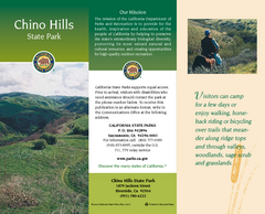
Chino Hills State Park Map
Map of park with detail of trails and recreation zones
275 miles away
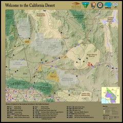
California Desert Recreation Map
Shows points of interest for recreational activities in the California desert
276 miles away
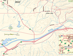
China Camp State Park SW Map
Map of SW portion of park with detail of trails and recreation zones
276 miles away
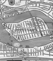
Balboa Island 2007 approx. Map
277 miles away
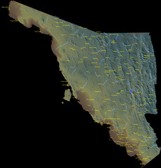
Sonora Mexico Map
277 miles away
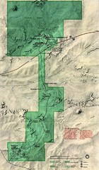
Petrified Forest Map
Map of the Petrified Forest, Painted Desert and Rainbow Forest. Shows all roads, tourist...
277 miles away
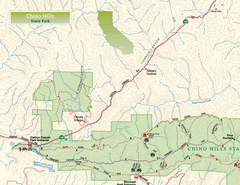
Chino Hills State Park NW Map
Map of NW portion of park with detail of trails and recreation zones
278 miles away
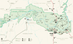
Grand Canyon National Park map
Official map of Grand Canyon National Park. Currently not available on the NPS website
279 miles away

Hoag Hospital Map
Campus map
279 miles away
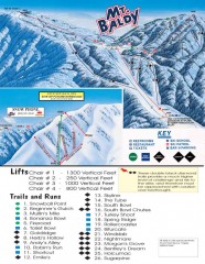
Mt. Baldy Ski Trail Map
Official ski trail map of Mount Baldy Ski Lifts ski area
279 miles away
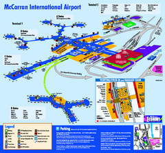
Las Vegas McCarran Airport Terminal Map
Official Terminal Map of Las Vegas McCarran Airport. Shows all areas.
279 miles away
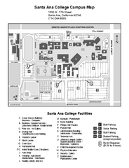
Santa Ana College Campus Map
Santa Ana College Campus Map. All buildings shown.
280 miles away
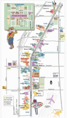
Vegas Strip and Downtown Map
Tourist map of Vegas strip and downtown
280 miles away

