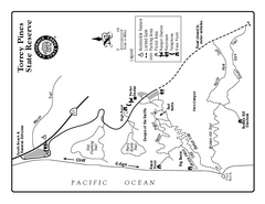
Torrey Pines State Reserve Trail Map
Map of park with detail of trails and recreation zones
229 miles away
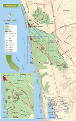
Torrey Pines State Beach and Reserve Map
Topo map of Torrey Pines State Beach and Reserve near San Diego, CA. Rated the #9 beach in America...
229 miles away
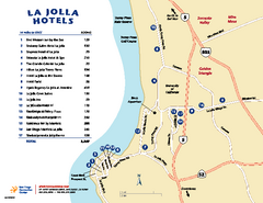
La Jolla Tourist Map
Tourist map of La Jolla, with hotel listings
230 miles away
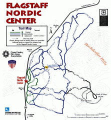
Flagstaff Nordic Center Trail Map
Official ski trail map of Flagstaff Nordic Center
230 miles away
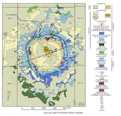
Meteor Crater Geologic Map
231 miles away
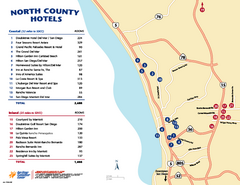
North County San Diego Tourist Map
Tourist map of North County area of San Diego, with hotel listings
231 miles away
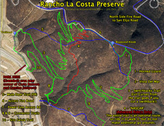
Rancho La Costa Preserve Trail Maps Map
Mountain Biking Trail Map for Rancho La Costa Preserve near San Diego.
231 miles away
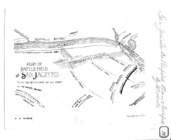
The Battle of San Jacinto, Texas Historical Map
232 miles away
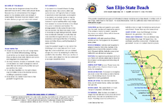
San Elijo State Beach Campground Map
Map of campground region of beach and park with detail of trails and recreation zones
233 miles away
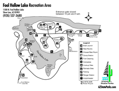
Fool Hollow Lake Recreation Area Map
Map of recreation area with detail of trails and recreation zones
234 miles away
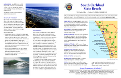
South Carlsbad State Beach Campground Map
Map of beach and park with detail of trails and recreation zones
236 miles away
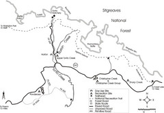
Tonto Creek in Tonto National Forest Map
Printable map for Tonto Creek area of Tonto National Forest with creek and amenenties shown on map.
239 miles away
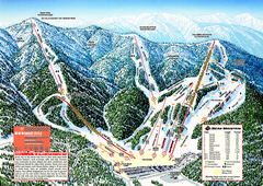
Bear Mountain Ski Trail Map
Official ski trail map of Bear Mountain ski area
240 miles away

Snow Summit Ski Trail Map
Official ski trail map of Snow Summit ski area from the 2004-2005 season.
242 miles away
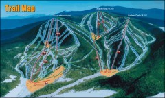
Sunrise Park Ski Trail Map
Official ski trail map of Sunrise Park ski area
248 miles away
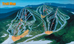
Sunrise Park Resort Ski Trail Map
Trail map from Sunrise Park Resort, which provides downhill, night, nordic, and terrain park skiing...
248 miles away
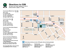
ESRI Campus Map
251 miles away
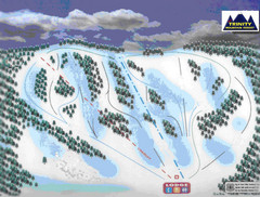
Trinity Mountain Resort Ski Trail Map
Trail map from Trinity Mountain Resort.
251 miles away

Snow Valley Ski Trail Map
Official ski trail map of Snow Valley ski area
253 miles away
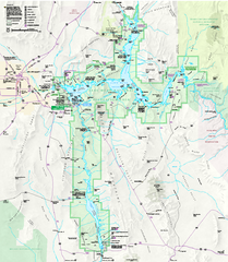
Lake Mead National Recreation Area Map
253 miles away
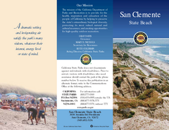
San Clemente State Beach Map
Map of beach and park with detail of trails and recreation zones
256 miles away
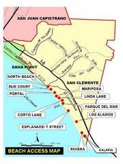
San Clemente Beach Map
257 miles away
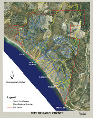
San Clemente Storm Drainage Map
Storm Drainage Map for San Clemente city. Includes color-coded zones of storm drain systems, major...
257 miles away
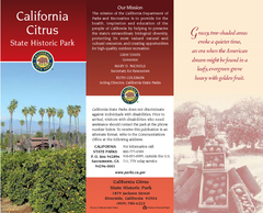
California Citrus State Park Map
Zoom map of park with detail of trails and recreation zones
258 miles away
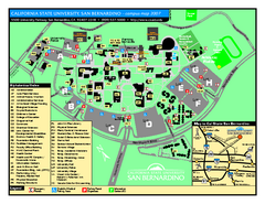
California State University - San Bernardino Map
California State University - San Bernardino Campus Map. All buildings shown.
258 miles away
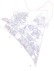
San Clemente Tract Map
Tract Map of San Clemente, California. Includes roads, buildings, highways and zip code zones.
258 miles away
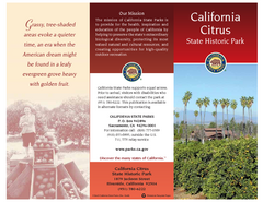
California Citrus State Park Map
Overview map of park with detail of trails and recreation zones
258 miles away

California Citrus State Park Map
Map of park with detail of trails and recreation zones
258 miles away
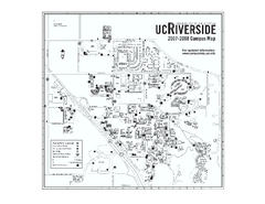
University of California at Riverside Map
University of California at Riverside Campus Map. All buildings shown.
258 miles away
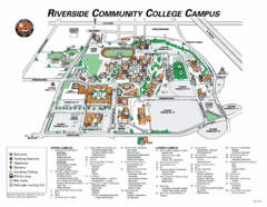
Riverside Community College Campus Map
258 miles away
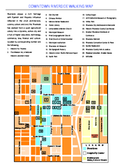
Downtown Riverside, California Map
Tourist map of downtown Riverside, California, showing many points of interest including...
258 miles away

Lake mathews geologic map
258 miles away

Riverside, California City Map
259 miles away
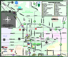
City of San Bernardino, California Map
Tourist map of San Bernardino, California. Shows lodging, recreation facilities and other points of...
259 miles away

General Thomas F. Riley Wilderness Park Map
260 miles away
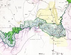
Grand Canyon Map
Guide to the Grand Canyon National Park
260 miles away
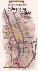
San Juan Capistrano Shopping Center Guide Map
261 miles away
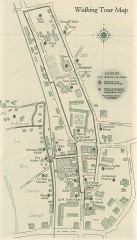
San Juan Capistrano walking tour Map
Architectural walking tour map of San Juan Capistrano, California.
261 miles away
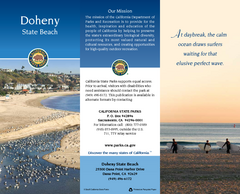
Doheny State Beach Map
Map of beach with detail of trails and recreation zones
262 miles away
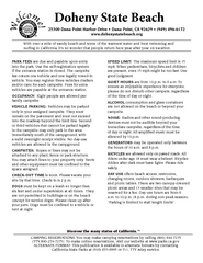
Doheny State Beach Campground Map
Map of beach and park with detail of trails and recreation zones
262 miles away

