
Wasatch Front Watershed Map
584 miles away
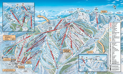
Park City Mountain Resort Ski Trail Map 2006-07
Official ski trail map of Park City for the 2006-2007 season. Site of the 2002 Winter Olympics.
584 miles away

Jordan River Parkway Map
584 miles away
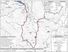
Tahoe Rim Trail: Big Meadow to Echo Lake Map
Topographic hiking map of the Big Meadow-Echo Lake leg of the Tahoe Rim Trail. Bike and pedestrian...
584 miles away
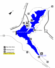
Jordanelle State Park Map
Jordanelle State Park is located in a picturesque mountain setting near Heber City. The park offers...
584 miles away
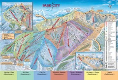
Park City Ski Trail Map
Official ski trail map of Park City ski area for the 2007-08 season.
584 miles away
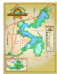
Lahontan State Recreation Area Map
Overview map of Lahontan State Recreation Area. Shows Lahontan Reservoir formed by Lahontan Dam...
584 miles away
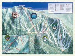
Sierra-at-Tahoe Ski Trail Map
Official ski trail map of Sierra-at-Tahoe ski area from the 2007-2008 season.
585 miles away

Park City Map
Street map of Park City
585 miles away
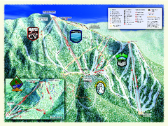
Sierra-at-Tahoe Ski Trail Map
Trail map from Sierra-at-Tahoe, which provides downhill and terrain park skiing. It has 12 lifts...
585 miles away
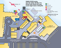
Park City Resort Base Map
Map of Park City Ski Area base buildings.
585 miles away
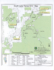
South Lake Tahoe Off-Highway Vehicle Map
Off-Highway Vehicle Map of South Lake Tahoe, California. Shows roads open to motorcycles, ATVs, and...
586 miles away
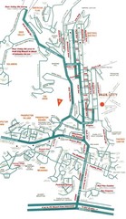
Park City town map
586 miles away
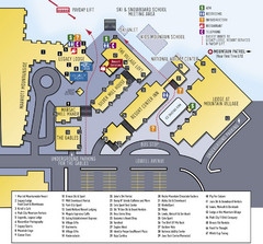
Park City Mountain Resort Map
586 miles away

Park City Area Map
Area map of Park City, Utah
586 miles away
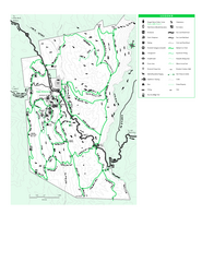
Joseph D. Grant County Park Map
Trail map of Joseph D Grant County Park in Santa Clara County, California
586 miles away
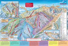
Park City Mountain Trail Map
Map of Park City Mountain's various ski trails
586 miles away
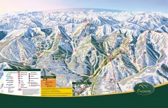
The Canyons Ski Trail Map
Official ski trail map of The Canyons ski area from the 2007-2008 season.
586 miles away
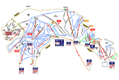
Heavenly Ski Resort Ski Trail Map
Trail map from Heavenly Ski Resort, which provides downhill, nordic, and terrain park skiing. It...
586 miles away
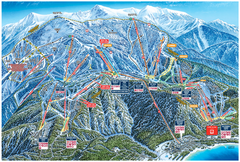
Heavenly Valley Ski Trail Map
Official ski trail map of Heavenly Valley ski area from the 2007-2008 season.
586 miles away

Geographic Subdivisions in California Map
586 miles away
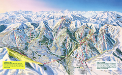
The Canyons Ski Trail Map
Trail map from The Canyons.
586 miles away
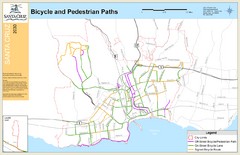
Santa Cruz, CA Bike Map
588 miles away
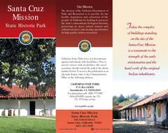
Santa Cruz Mission State Historic Park Map
Map of park and mission
588 miles away
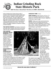
Indian Grinding Rock State Historic Park...
Map of campground region of park with detail of trails and recreation zones
588 miles away
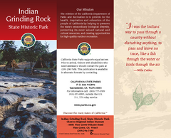
Indian Grinding Rock State Historic Park Map
Map of park with detail of trails and recreation zones
588 miles away

Santa Cruz, California City Map
588 miles away
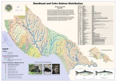
Steelhead and Coho Salmon Distribution Map...
Shows the current distribution of steelhead and resident rainbow trout and coho salmon in Santa...
588 miles away
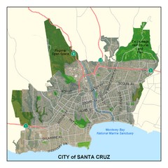
Santa Cruz City Limits Map
Map shows the city limits boundries of Santa Cruz, California
588 miles away
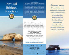
Natural Bridges State Beach Map
Map of beach and park with detail of trails and recreation zones
588 miles away
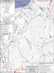
Tahoe Rim Trail: Kingsbury South to Big Meadows...
Topographic hiking map of the Kingsbury South-Big Meadows leg of the Tahoe Rim Trail. Shows...
588 miles away
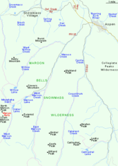
Maroon Bells Area Map
Basic Map of Watershed and Trails around Maroon Bells.
588 miles away
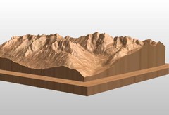
Map carved of the Maroon Bells
CarvedMaps.com can carve any area within the United States. This carving is of the Maroon Bells...
588 miles away
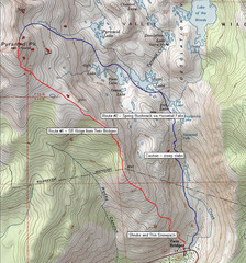
Pyramid Peak Ski Route Map
Backcountry ski route map of Pyramid Peak 9983 ft in the Desolation Wilderness near Lake Tahoe...
588 miles away
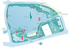
Almaden Lake Park Map
590 miles away
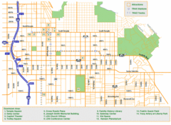
Downtown Salt Lake City Map
Street map of downtown Salt Lake City
590 miles away
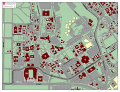
University of Utah Map
590 miles away
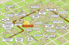
Salt Lake City Tourist Map
Tourist map of Salt Lake City, Utah. Shows points of interest.
590 miles away
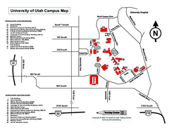
University of Utah Map
University of Utah Campus Map. All buildings shown.
591 miles away
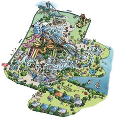
Raging Waters San Jose Map
Simple map of this fun water park for the whole family!
591 miles away

