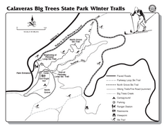
Calaveras Big Trees State Park Winter Map
Map of park with detail of winter ski trails and recreation zones
565 miles away
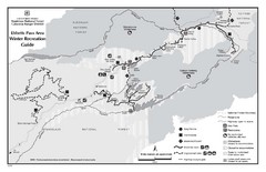
Ebbetts Pass Area Map
Guide to Winter Recreation at Ebbetts Pass
566 miles away
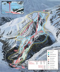
Sundance Ski Trail Map
Official ski trail map of Sundance ski area from the 2007-2008 season.
566 miles away
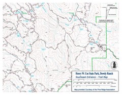
Henry W. Coe State Park, Dowdy Ranch Map
Henry W. Coe State Park Southeast Entrance Trail Map.
566 miles away
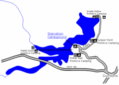
Starvation State Park Map
The sprawling waters of Starvation Reservoir offer great fishing and boating. Find a secluded...
567 miles away
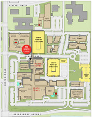
Memorial Medical Center Map
567 miles away
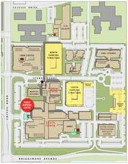
Memorial Medical Center Map
567 miles away
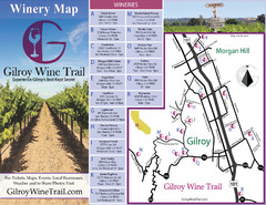
Gilroy Wine Tasting Map
567 miles away
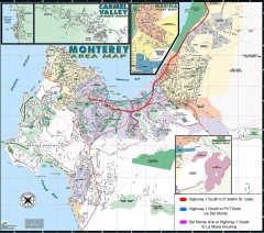
Monterey Area Map
Shows Monterey / Carmel area. Has legend on it with route highlighted to Naval housing.
567 miles away
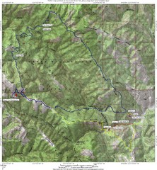
Henry Willard Coe State Park Topographical Map
Topographical map of Henry Willard Coe State Park. Includes roads, elevation information and some...
568 miles away
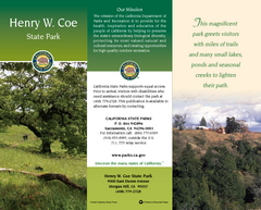
Henry W. Coe State Park Map
Map of park with detail of trails and recreation zones
568 miles away
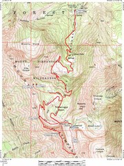
Mount Timpanogos Trail Map
Trail map of Mount Timpanogos 11,749 feet, in the Mount Timpanogos Wilderness Area, Utah. One of...
568 miles away
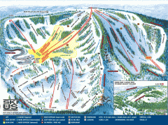
Bear Valley Ski Trail Map
Official ski trail map of Bear Valley ski area from the 2007-2008 season.
568 miles away
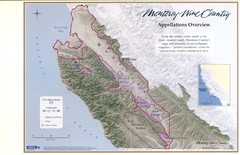
Monterey Wine Country: Appellation Overview Map
The Monterey region is world-famous for unparalleled scenic beauty, golf, and cuisine. Millions of...
568 miles away
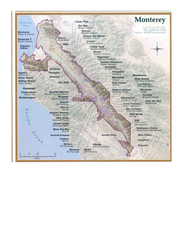
Monterey Wine Country: Appellation Overview Map
The Monterey region is world-famous for unparalleled scenic beauty, golf, and cuisine. Millions of...
568 miles away
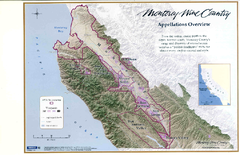
Monterey Wine Country: Appellation Overview Map
The Monterey region is world-famous for unparalleled scenic beauty, golf, and cuisine. Millions of...
568 miles away
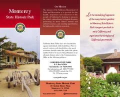
Monterey State Historic Park Map
Map of park with detail of trails and recreation zones
568 miles away
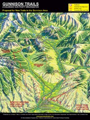
Gunnison Proposed Trails Map
Shows proposed trails from Gunnison, Colorado to Crested Butte, Colorado
570 miles away
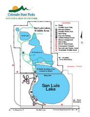
San Luis State Park Map
Map of park with detail of recreation zones
570 miles away
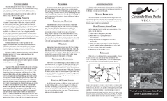
Vega State Park Map
Map of park with detail of recreation zones and campgrounds
571 miles away
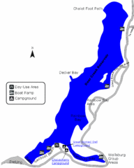
Deer Creek State Park Map
Deer Creek State Park lies in the southwest corner of beautiful Heber Valley and consistently...
571 miles away
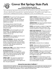
Grover Hot Springs State Park Campground Map
Map of park with detail of trails and recreation zones
571 miles away
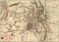
Denver and Rio Grande and Rio Grande Western...
Shows the Denver & Rio Grande and Rio Grande Western railroad system map circa 1904
573 miles away
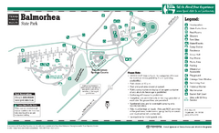
Balmorhea State Park Facility Map
575 miles away
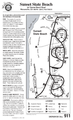
Sunset State Beach Campground Map
Map of park with detail of trails and recreation zones
575 miles away
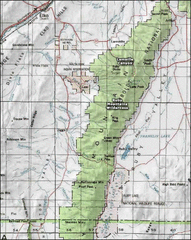
Ruby Mountains Wilderness Map
Overview map of Ruby Mountains Wilderness and Lamoille Canyon
575 miles away

Timber Lakes Plat 1 Map
Timber Lakes Plat 1 Amended
576 miles away

Timber Lakes Plat 5 Map
576 miles away

Timber Lakes Plat 4 Map
576 miles away
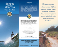
Sunset & Manresa State Beaches Map
Map of beaches and parks with detail of trails and recreation zones
576 miles away

Timber Lakes Plat 6 Map
576 miles away

Timber Lakes Plat 14 Map
576 miles away

Timber Lakes Plat 13 Map
576 miles away

Shaded Relief Timber Lakes Estates Map
576 miles away

Timber Lakes Plat 7 Map
576 miles away

Heber City General Plan map
576 miles away

Heber City Zoning Map
576 miles away

Heber City Street Map
576 miles away

Timber Lakes Plat 11 Map
577 miles away


