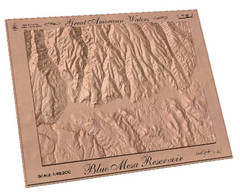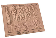
Blue Mesa Reservoir by Carvedmaps.com Map
Blue Mesa Reservoir carved by carvedmaps.com - Tom Justin artist
545 miles away
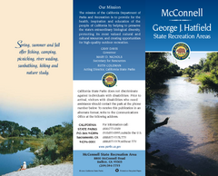
McConnell State Recreation Area Map
Map of park with detail of trails and recreation zones
545 miles away
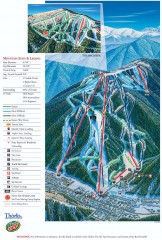
Red River Ski Trail Map
Official ski trail map of Red River ski area
546 miles away
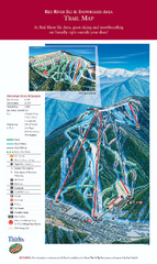
Red River Ski Area Ski Trail Map
Trail map from Red River Ski Area.
546 miles away
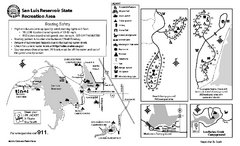
San Luis Reservoir State Recreation Area...
Map of campground region of park and reservoir with detail of trails and recreation zones
547 miles away

San Luis Reservoir State Recreation Area Map
Map of park and reservoir with detail of trails and recreation zones
547 miles away
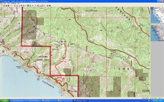
Timber Top, Big Sur Map
Route we climbed to Timber Top in Big Sur. Very steep trail.
547 miles away
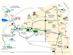
San Luis Valley Tourist Map
Tourist map of San Luis Valley, Colorado area. Shows attractions.
547 miles away
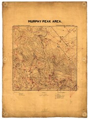
Murphy Peak Area Survey Map
Topographic geology map of Murphy Peak area, California. L.S.J.U. Geological Survey, 1911...
548 miles away
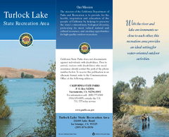
Turlock Lake State Recreation Area Map
Map of recreation area with detail of trails and recreation zones
549 miles away

Turlock Lake State Recreation Area Campground Map
Map of campground region of recreation area with detail of trails and recreation zones
549 miles away
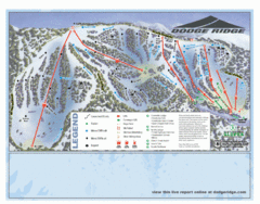
Dodge Ridge Ski Area Ski Trail Map
Trail map from Dodge Ridge Ski Area, which provides downhill, nordic, and terrain park skiing. It...
550 miles away

Pacheco State Park Map
Map of park with detail of trails and recreation zones
550 miles away
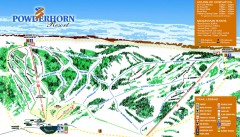
Powderhorn Ski Trail Map
Official ski trail map of Powderhorn Resort ski area from the 2007-2008 season.
550 miles away
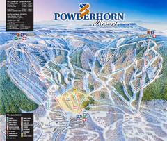
Powderhorn Resort Ski Trail Map
Trail map from Powderhorn Resort, which provides downhill and terrain park skiing. It has 4 lifts...
551 miles away
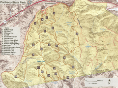
Pacheco State Park Trail Map
Map of park with details of different trails
551 miles away
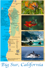
Big Sur Map
Tourist map of Highway 1 area near Big Sur, California
551 miles away
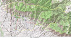
Fruita 18 Road Trail Map
Mountain biking trail map of the 18 Road area in Fruita, CO including Chutes & Ladders, Zipity...
552 miles away
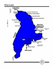
Utah Lake Map
553 miles away
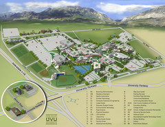
Utah Valley University Map
Campus map
555 miles away
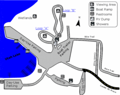
Utah Lake State Park Map
Utah's largest freshwater lake provides fishing access for channel catfish, walleye, white...
555 miles away

Fremont Peak State Park Map
Map of park with detail of trails and recreation zones
555 miles away
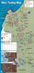
Monterey area wineries map
Map of wineries with public tasting rooms in the Monterey area
555 miles away

Utah Dinosaur Country Map
556 miles away
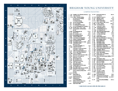
Brigham Young University Map
Campus Map of Brigham Young University in Utah. All buildings shown.
557 miles away
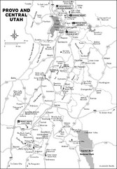
Provo, Utah City Map
557 miles away
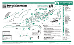
Davis Mountains, Texas State Park Map
558 miles away

Toro County Park Map
Trails of Toro County Park, Salinas Ca.
559 miles away
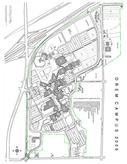
Utah Valley State University Map
Utah Valley State University. All areas shown.
559 miles away
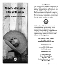
San Juan Bautista State Historic Park Map
Map of park with detail of trails and recreation zones
560 miles away
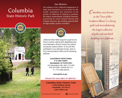
Columbia State Historic Park Map
Map of park with detail of trails and recreation zones
560 miles away

Laguna Seca Raceway Map
Overview map of the Laguna Seca Raceway. Shows track, parking, and facilities.
561 miles away
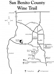
San Benito County Wine Trail Map
Wineries in the San Benito County, California area.
561 miles away
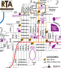
Gunnison RTA Bus Route Map
563 miles away
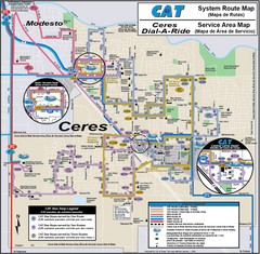
Ceres, CA Transportation Map
563 miles away
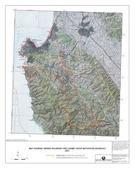
Monterey Peninsula and Carmel River Watershed...
This map contains a digital raster graphic topographic base map of the Monterey Peninsula Water...
564 miles away
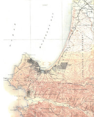
Monterey Map
564 miles away
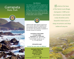
Garrapata State Park Map
Map of park with detail of trails and recreation zones
565 miles away
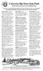
Calaveras Big Trees State Park Map
Map of park with detail of trails and recreation zones
565 miles away

