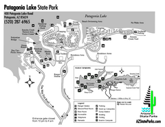
Patagonia Lake State Park Map
Map of park with detail of trails and recreation zones
159 miles away
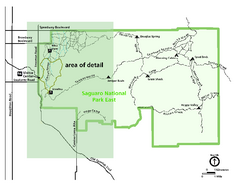
Saguaro National Park Map - Rincon District
Park map of Saguaro National Park East, the Rincon District
160 miles away
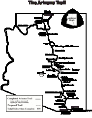
Arizona Trail Progress Map
Basic outline map of Arizona Trail. Other Maps available through BLM. There are links at the...
162 miles away
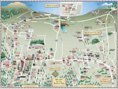
Prescott tourist map
Tourist and business map of Prescott, Arizona. Shows all businesses in the tri-city area.
162 miles away
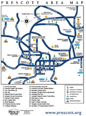
Prescott Area Map
164 miles away
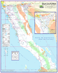
Baja California Map - North
Detailed road map of the state of northern Baja California. In Spanish.
165 miles away
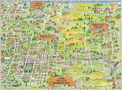
Prescott Prescott Valley and Chino Valley Tourist...
Tri-city tourist map of Prescott, Arizona, Prescott Valley, Arizona, and Chino Valley, Arizona...
165 miles away

Theodore Roosevelt Lake Recreation Sites Map
Multiple camping, hiking, climbing and road sites.
170 miles away
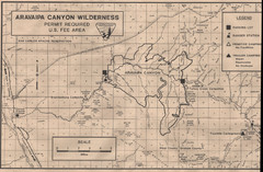
Aravaipa Canyon Map
Map of Aravaipa Canyon Wilderness
171 miles away
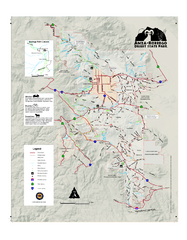
Anza-Borrego Desert State Park Map
Map of park with detail of trails and recreation zones
176 miles away
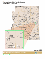
Arizona Highway Map
176 miles away
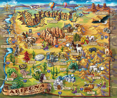
Arizona Fun Map
178 miles away
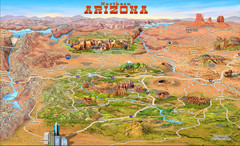
Northern Arizona attractions Map
178 miles away
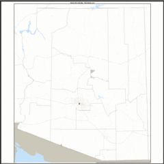
Arizona Zip Code Map
Check out this Zip code map and every other state and county zip code map zipcodeguy.com.
178 miles away
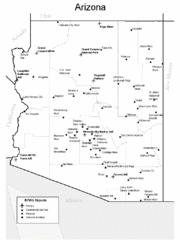
Arizona Airports Map
178 miles away
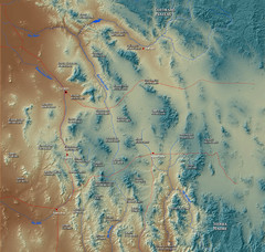
US and Mexico Sky Islands Map
Madrean Sky Islands of the U.S. and Mexico
180 miles away
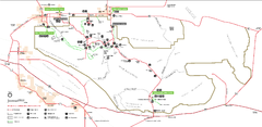
Joshua Tree National Park Official Park Map
Official NPS map of Joshua Tree National Park in California. Map shows all areas. The park is...
180 miles away
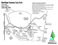
Kartchner Caverns State Park Map
Map of park with detail of trails and recreation zones
181 miles away
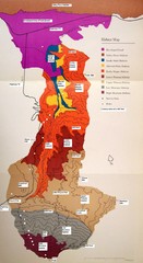
Habitat/Elevation Map of the Sant Rosa Mountains
Deep Canyon, with detailed descriptions of the major plant communities as they change with...
182 miles away
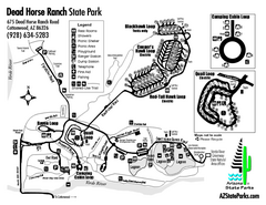
Dead Horse Ranch State Park Map
Map of park with detail of trails and recreation zones
186 miles away
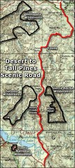
Desert to Tall Pines Scenic Byway Map
A much better map of the Desert to Tall Pines Scenic Byway. Unfortunately does not give hiking...
186 miles away
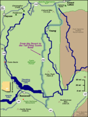
From the Desert to the Tall Pines Scenic Byway Map
Desert to Tall Pines Scenic Byway. This is the Scenic Byways official name. This is not a very...
186 miles away
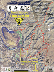
Dead Horse Trail System Map
Trail map of area surrounding Dead Horse State Park in Clarkdale, Arizona
187 miles away

Geological Map of the San Pedro River
This is a map of the San Pedro River valley up to where it joins the Gila.
188 miles away

Light Rail Route Map
Map of Light Rail system throughout Sierra Vista
189 miles away
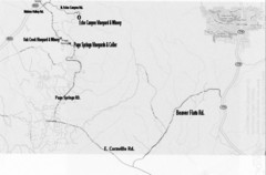
Central Arizona Wineries Map
189 miles away
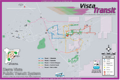
Sierra Vista Transit Route Map
Route Map of Sierra Vista Transit Bus System. Includes all transit routes, bus stops, streets...
190 miles away
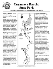
Cuyamaca Rancho State Park Campground Map
Map of park with detail of trails and recreation zones
190 miles away

Map of the Baja Wine Country
190 miles away
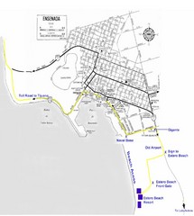
Ensenada, Mexico Beach Tourist Map
191 miles away
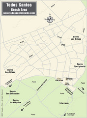
Todos Santos Beach Map
195 miles away
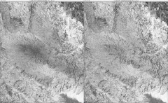
Toro Peak Elevation Map
Created with PALSAR Technology.
195 miles away
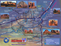
Sedona Tourist Map
Tourist map of Sedona, AZ. Shows points of interest and photos of local red rock formations and...
199 miles away
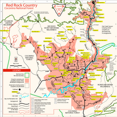
Red Rock County Trail Map
Trail map of trails of Red Rock County, AZ around Sedona, AZ. Shows trailheads and trail names.
199 miles away
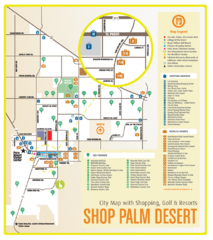
Palm Desert Shopping Map
Visitor map/shopping guide of Palm Desert
199 miles away
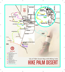
Palm Desert Hiking Trail Map
Trail map of Palm Desert, California. Shows hiking trails leaving right from town
200 miles away
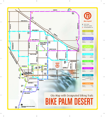
Palm Desert Biking Map
Biking route and trail map of Palm Desert, California
200 miles away
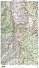
Palm Canyon Epic Map
Palm Canyon Trail - This point-to-point route takes you through a varied array of desert trails...
200 miles away
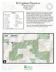
El Capitan Preserve Map
El Capitan Preserve has a view of three reservoirs from one location in the park. The park has...
202 miles away
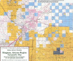
Kingman, Arizona Region Topographic Map
Elevation in qauadrangles for the Kingman, Arizona area
203 miles away

