
Bodie State Park NE Map
Map of park with detail of trails and recreation zones
517 miles away
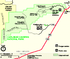
Carlsbad Caverns National Park Official Map
Official NPS map of Carlsbad Caverns National Park in New Mexico. Map shows all areas. Carlsbad...
517 miles away
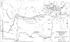
Yosemite Valley Automobile Guide Map 1963
Yosemite Valley and Vicinity with Elevations
517 miles away

Yosemite National Park Guide Map
Guide map of Yosemite National Park
518 miles away
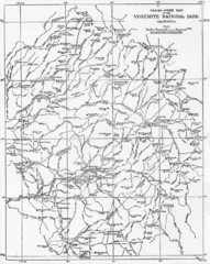
1914 Yosemite National Park Map
519 miles away
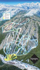
Sipapu Ski Trail Map
Official ski trail map of Sipapu ski area from the 2007-2008 season.
520 miles away
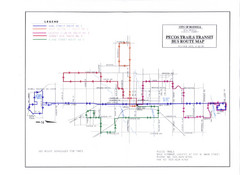
Pecos Trails Bus Route Map
520 miles away
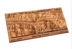
Lake City, CO carved by carvedmaps.com Map
Lake City, CO map carved by carvedmaps.com
520 miles away
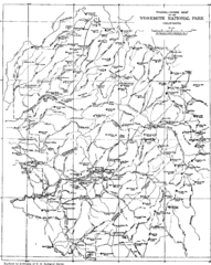
Yosemite Park Map (before development)
Map of Yosemite Park before valley development, showing only Portal Road
520 miles away
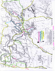
Uncompahgre National Forest Map
National Forest in Western Colorado
523 miles away

Northern California Fire Detection Map
Fires in Northern California
526 miles away

Montery Bay Sea Floor Map
528 miles away

Sangre de Cristo Mountain Trail Map
Ski trail map of one of the Sangre de Cristo mountains
528 miles away
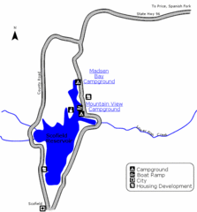
Scofield State Park Map
Camp, boat, and fish at this summer and winter recreation destination situated high in the Manti...
529 miles away
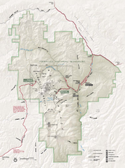
Pinnacles National Monument Map
529 miles away

Mi-Wok OHV Trail Map
Trail Maps for Off Road Bikes in Stanislaus National Forest
530 miles away
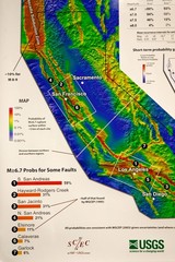
California Faults and Earthquake Probablity...
The Uniform California Earthquake Rupture Forecast map hangs at a press conference where...
530 miles away

Limeklin State Park Map
Map of park with detail of trails and recreation zones
530 miles away
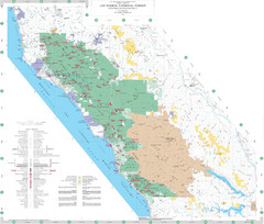
Los Padres National Forest Map - North
Overview map of the northern section of Los Padres National Forest in the Monterey Ranger District...
531 miles away
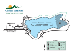
Sweitzer Lake State Park Map
Map of park with detail of recreation zones
534 miles away
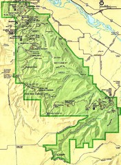
Colorado National Monument Map
535 miles away
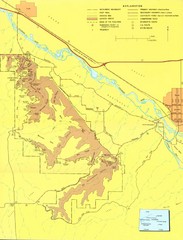
Colorado National Monument Map
Map of Colorado National Monument and surrounding areas.
535 miles away
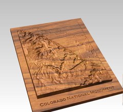
Colorado National Monument carved by CarvedMaps...
Colorado National Monument near Grand Junction, CO. was carved by CarvedMaps.com They can carve...
535 miles away
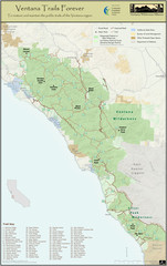
Ventana Wilderness Trails Map
Trail map of the Ventana Wilderness east of Big Sur. Also shows trails in the Silver Peak...
536 miles away
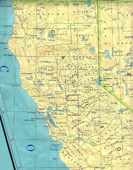
Northern California Map
Map of Northern California including cities, counties, and rivers
537 miles away
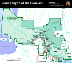
Black Canyon of the Gunnison National Park Map
Official NPS map of Black Canyon of the Gunnison in Colorado. Shows all areas including the South...
537 miles away
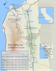
Wine tasting map of Monterey County
Wine tasting map of Monterey County, California, showing vineyards, wineries, and approximate drive...
538 miles away
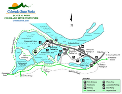
Connected Lakes State Park Map
Map of connected lakes section of the James M Robb Colorado River State Park
539 miles away
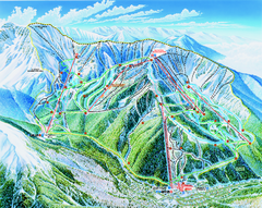
Taos Ski Area Ski Trail map 2006-07
Ski trail map of Taos ski area for the 2006-2007 season. A James Niehues creation.
539 miles away
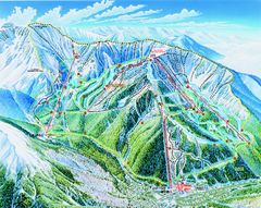
Taos Ski Valley Trail map
Official ski map of Taos Ski Valley. 12 lifts servicing 1,294 acres.
539 miles away
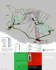
Taos Ski Valley Ski Trail Map
Trail map from Taos Ski Valley.
539 miles away
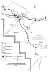
Capitol Reef Trail Map
Hiking trails near Fruita, Colorado
539 miles away
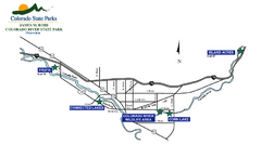
James M Robb Colorado River State Park Map
Overview map of park along lake
540 miles away
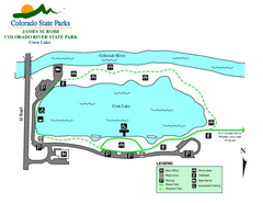
Corn Lake State Park Map
Map of corn lake section of the James M Robb Colorado River State Park
540 miles away
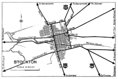
Stockton, California City Map
541 miles away
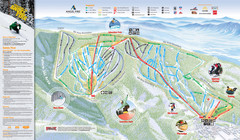
Angel Fire Resort Ski Trail Map
Trail map from Angel Fire Resort.
541 miles away
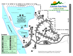
Fruita Area State Park Map
Map of fruita section of the James M Robb Colorado River State Park
542 miles away
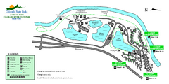
Island Acres State Park Map
Map of island acres section of the James M Robb Colorado River State Park
543 miles away
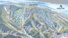
Angel Fire Ski Trail Map
Official ski trail map of Angel Fire ski area from the 2007-2008 season.
543 miles away
Highline Lake State Park Map
Map of park with detail of recreation areas
544 miles away

