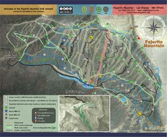
Pojarito Mountain bike Trail Map
Bike trail for Pojarito Mountain, New Mexico
469 miles away
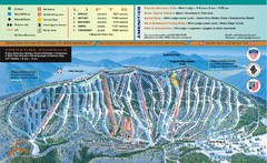
Pajarito Mountain Ski Trail Map
Trail map from Pajarito Mountain.
470 miles away
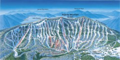
Pajarito Ski Trail Map
Official ski trail map of Pajarito ski area from the 2007-2008 season.
470 miles away
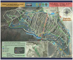
Pajarito Mountain Summer Bike Hike Trail Map
Pajarito Ski Area offers summer bike and hike lift service weekends. When lifts are not running...
470 miles away
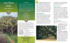
Los Osos Oaks State Reserve Map
Map of reserve with detail of trails and recreation zones
470 miles away
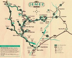
Jemez Mountains, New Mexico Tourist Map
471 miles away
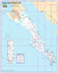
Baja California Map - South
Detailed road map of the state of southern Baja California. In Spanish.
472 miles away
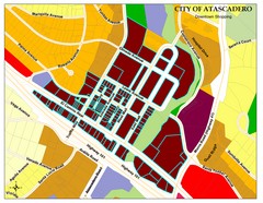
City of Atascadero Map
473 miles away
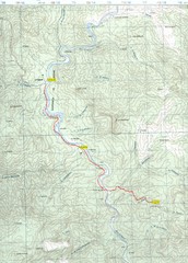
Urique to Los Alisos Trail Map
Copper Canyon Trail Map
473 miles away
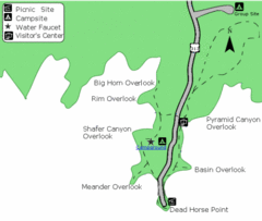
Dead Horse Point State Park Map
Stroll along the Rim Walk, towering 2,000 feet directly above the Colorado River. The mesa that is...
473 miles away
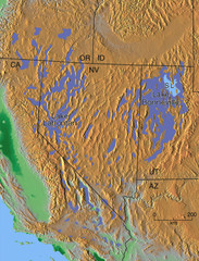
Pleisocene Lakes of western U.S. Map
474 miles away
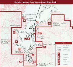
Dead Horse Point State Park Map
474 miles away
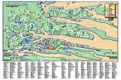
Los Alamos Street map
Los Alamos, New Mexico street and point of interest map. Mesas are colored green.
474 miles away
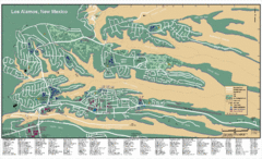
Los Alamos, New Mexico City Map
475 miles away
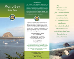
Morro Bay State Park Map
Map of park with detail of trails and recreation zones
476 miles away
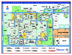
California State University - Fresno Map
California State University - Fresno Campus Map. All areas shown.
476 miles away
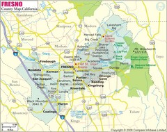
Fresno, California City Map
476 miles away
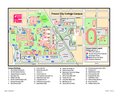
Fresno City College Campus Map
Fresno City College Campus Map. Shows all areas.
477 miles away

Baja Sur Map
Map of the Southern Baja Penninsula in Mexico showing major roads and towns.
477 miles away
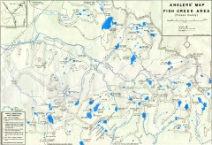
Fish Creek Area Anglers' Map
Hand-drawn fishing map of lakes, peaks, and trails in the Fish Creek Area of the John Muir...
478 miles away
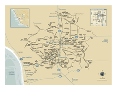
Paso Robles wine country map
Map of Paso Robles area vineyards and wineries.
478 miles away
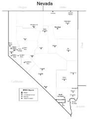
Nevada Airports Map
480 miles away
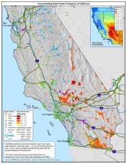
Concentrating Solar Power Prospects California Map
Shows power plants, concentrating solar resources, and transmission lines for all of California...
480 miles away
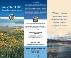
Millerton Lake State Recreation Area Map
Map of park with detail of trails and recreation zones
481 miles away
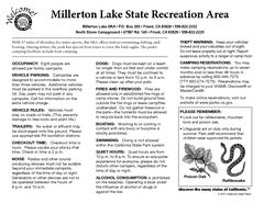
Millerton Lake State Recreation Area Campground...
Map of campground region of park with detail of trails and recreation zones
482 miles away
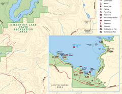
Millerton Lake State Recreation Area SE Map
Map of SE region of park with detail of trails and recreation zones
482 miles away

Millerton Lake State Recreation Area NE Map
Map of NE region of park with detail of trails and recreation zones
482 miles away
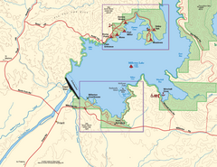
Millerton Lake State Recreation Area SW Map
Map of SW region of park with detail of trails and recreation zones
482 miles away
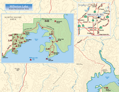
Millerton Lake State Recreation Area NW Map
Map of NW region of park with detail of trails and recreation zones
482 miles away

Millerton Lake State Recreation Area Park Map
Map of park with detail of trails and recreation zones
482 miles away
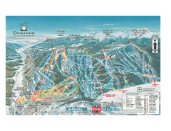
Durango Mountain Ski Trail Map
Official ski trail map of Durango Mountain Resort (formerly Purgatory) from 2003
483 miles away
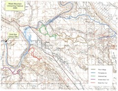
Moab Mountain Unicycling Festival Trail Map
Moab Area Topo Map with trails marked for festival
483 miles away
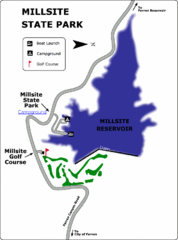
Millsite State Park Map
Camp in the quiet campground, and boat and fish on the blue waters of Millsite Reservoir. Play 18...
484 miles away
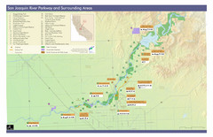
San Joaquin River Parkway Map
Map of the San Joaquin River Parkway. "The San Joaquin River Parkway is a mosaic of parks...
484 miles away
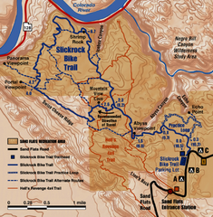
Slickrock Trail Map
Trail map of the famous Slickrock mountain biking trail in Moab, Utah. Trail distances shown. 10...
484 miles away
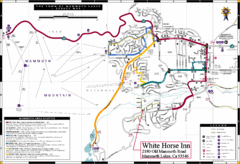
Mammoth Town Map
Town of Mammoth Lakes with shuttle lines included
485 miles away
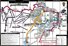
Mammoth Town Map
Map of Mammoth, including shuttle lines
485 miles away
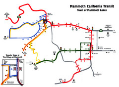
Mammoth Transit Map
Map of Mammoth transit system
485 miles away

