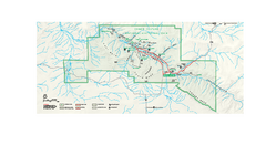
Chaco Culture National Historical Park Official...
Official NPS map of Chaco Culture National Historical Park in New Mexico. The park is open...
404 miles away

Franklin Mountains, Texas State Park Facility and...
404 miles away
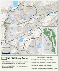
Mt. Whitney Zone Map
Zone map of Mt. Whitney area. Shows trail from Whitney Portal and Zone requiring Limited Use...
405 miles away
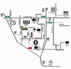
Area Map of El Paso
Area Map of El Paso. Illustrates all buildings, streets and Visitor Parking in the city.
405 miles away

El Paso, Texas City Map
406 miles away
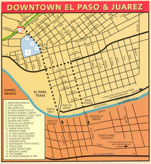
Downtown El Paso Map
Downtown tourist street map of El Paso and nearby Juarez
406 miles away
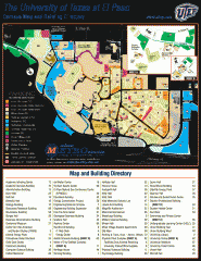
The University of Texas at El Paso Map
The University of Texas at El Paso. All buildings shown.
406 miles away
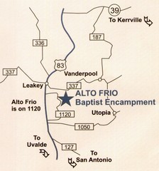
Alto Frio, Texas Tourist Map
409 miles away
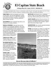
El Capitan State Beach Campground Map
Map of campground region park with detail of trails and recreation zones
411 miles away
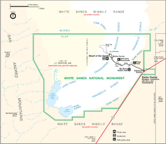
White Sands National Monument Map
413 miles away
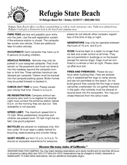
Refugio State Beach Campground Map
Map of campground region of beach with detail of trails and recreation zones
414 miles away
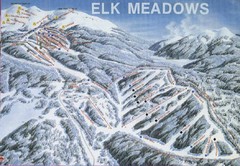
Elk Meadows Resort Ski Trail Map
Trail map from Elk Meadows Resort.
414 miles away
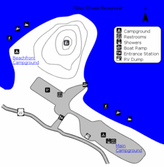
Otter Creek Reservoir Map
This quiet getaway is a great destination for ATV riders, boaters, and birders. Access three ATV...
414 miles away
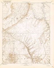
Topo Map of San Rafael Quadrant circa 1885
This is one of four USGS maps from the 1880's and 90's depicting the area around the...
416 miles away
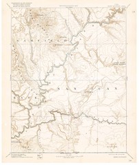
Henry Mtns Topo Map, circa 1892
One of a set of four maps circa 1890s by USGS depicting the area around the Henry Mtns and Capitol...
416 miles away
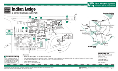
Indian Lodge, Texas State Park Location and Room...
418 miles away
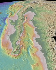
Gulf of California topograpuy Map
419 miles away
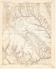
Topo Map of Escalante Quadrant, UT circa 1886
One of four USGS maps detailing the area around Capitol Reef National Park and Glen Canyon circa...
419 miles away
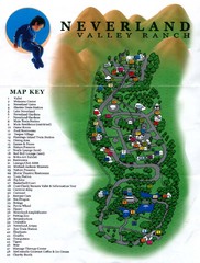
Michael Jackson's Neverland Ranch Map
Map shows all points of interest at Michael Jackson's Neverland Ranch near Los Olivos, CA.
421 miles away
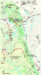
Capitol Reef National Park Official Map
Official NPS map of Capitol Reef National Park in Utah. Map shows all areas. The park and...
422 miles away

Colonel Allensworth State Historic Park Map
Map of park with detail of trails and recreation zones
422 miles away
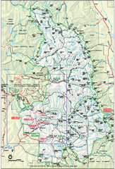
Sequoia National Park map and Kings Canyon...
Official park map of Sequoia National Park and Kings Canyon National Park.
423 miles away
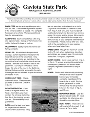
Gaviota State Park Campground Map
Map of campground region of park with detail of trails and recreation zones
423 miles away
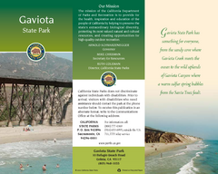
Gaviota State Park Map
Map of park with detail of trails and recreation zones
423 miles away
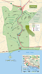
Gaviota State Park Zoom Map
Zoom map of park with detail of trails and recreation zones
423 miles away
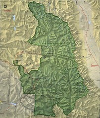
King Canyon and Seqouia Nationa Parks Map
423 miles away
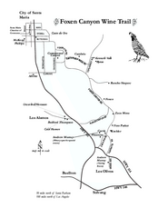
Foxen Canyon Wine Trail Map
Foxen Canyon area wineries and vineyards, near Santa Barbara, California.
424 miles away

California Agricultural Region Map
424 miles away
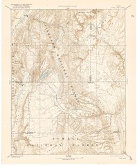
Topo Map of Capitol Reef Region (Fish Lake Quad...
This is one of four USGS maps done by the Powell survey and depicting the area around Capitol Reef...
426 miles away
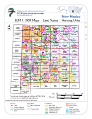
Index of BLM Maps for NM Hunting Units Map
This handy index shows the BLM surface management (land ownership) maps you need for all the...
430 miles away
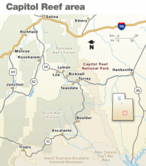
Capitol Reef National Park Map
Clear map marking major highways and cities.
430 miles away
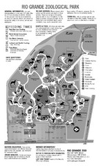
Rio Grande Zoological Park Map
431 miles away
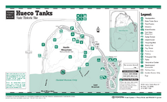
Hueco Tanks, Texas State Park Facility and Trail...
431 miles away
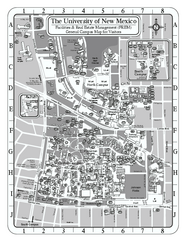
University of New Mexico - Main Campus Map
University of New Mexico - Main Campus Map. All area's shown.
432 miles away
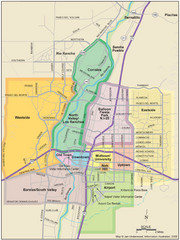
Albuquerque Map
Map of Albuquerque with detail of main streets and districts
432 miles away
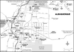
Albuquerque, New Mexico City Map
433 miles away
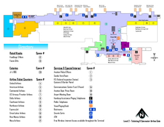
Albuquerque International Sunport Airport Map
Official Terminal Map of Albuquerque International Sunport Airport. Shows main floor ticketing...
433 miles away
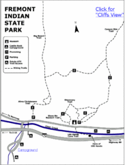
Fremont Indian State Park Map
Discover artifacts, petroglyphs, and pictographs left behind by the Fremont Indians. During...
436 miles away
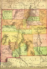
New Mexico 1895 Map
437 miles away
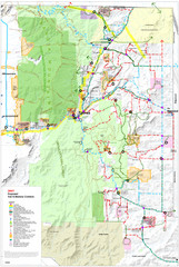
East Mountain Trail and Bikeways Master Plan Map
Trail Map for bikes and hikers.
437 miles away

