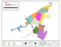
Culver City Neighborhood Map
Map shows official neighborhood zones of Culver City, California
313 miles away
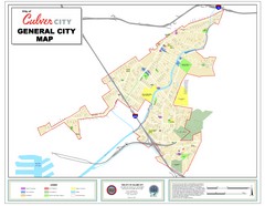
Culver City Map
General city map of Culver City, California. Shows the city boundary, schools, parks and other...
313 miles away
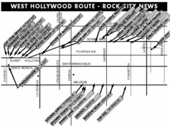
West Hollywood - Rock City News Map
Nightclubs, record stores, tattoo shops, etc.
313 miles away
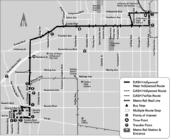
West Hollywood Area DASH Bus Routes Map
313 miles away
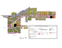
West Hollywood Zoning Map 10/08/09
313 miles away
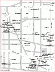
West Hollywood Art Gallery map
Art Gallery map of West Hollywood in Los Angeles
313 miles away
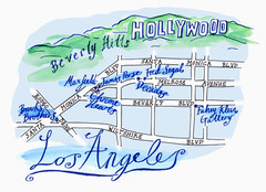
Los Angeles - hand drawn map
illustrated hand-drawn map produced for British airways - First Life magazine.
314 miles away
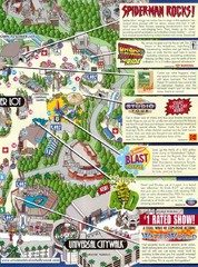
Universal Studios in Hollywood Tourist Map
Features and landmarks at Universal Studios in Hollywood, CA
314 miles away
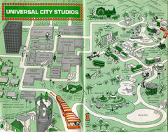
1966 Universal Studios Guide Map
314 miles away
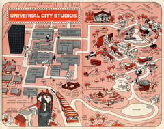
1968 Universal Studios Guide Map
A 1968tour guide map of Universal Studios
314 miles away
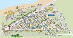
Beverly Hills, California Map
Tourist map of Beverly Hills, California. Shopping, restaurants, lodging and points of interest are...
315 miles away
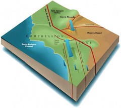
Southern California Compressional Fold Belts Map
Diagram of southern California showing the San Andreas Fault as a master player in a tectonic...
315 miles away
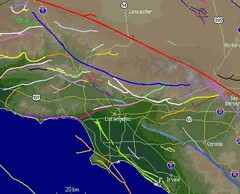
Southern California Fault Lines Map
The red line on this map of southern California is the San Andreas fault. Other lines represent...
315 miles away
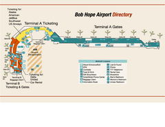
Burbank "Bob Hope" Airport Terminal Map
Official Terminal Map of Bob Hope Airport in Burbank, California. Shows all areas.
315 miles away
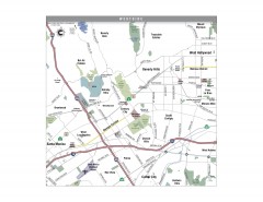
Westside Los Angeles, California Map
Tourist map of the Westside area of Los Angeles, California. Museums, parks, the UCLA campus, and...
315 miles away
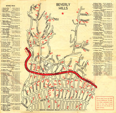
Beverly Hills stars homes map
316 miles away
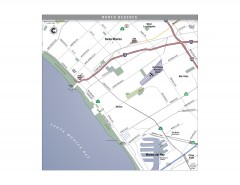
North Beach Cities, Los Angeles, California Map
Tourist map of the North Beach cities near Los Angeles, California. Beaches, shopping, and a...
316 miles away
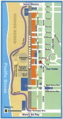
Venice Beach map
Walking map for Venice Beach in Los Angeles, California.
316 miles away

Ronald Reagan ULCA Medical Center Map
Pocket Map to the medical center campus
317 miles away

Ronald Reagan ULCA Medical Center Building Map
Pocket map to the medical center campus
317 miles away
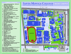
Santa Monica College Campus Map
Santa Monica College Campus Map. Shows all buildings.
317 miles away
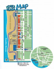
Venice Beach map
Map of Venice Beach. Shows streets and parking spots, as well as the Marina Pacific Hotel.
317 miles away
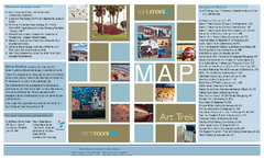
Art Trek Tour Map, Santa Monica, California
Art Trek tour map of 93 of the 120+ museums, art galleries and public displays in Santa Monica...
318 miles away
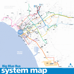
Big Blue Bus System Map
318 miles away
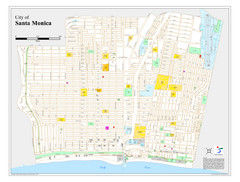
Santa Monica City Map
City map of Santa Monica, California
318 miles away
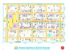
Downtown Santa Monica walking map
Detailed tourist map of Downtown Santa Monica and the Third Street Promenade in Los Angeles...
318 miles away
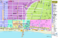
Santa Monica, California Map
Tourist map of Santa Monica, California, showing lodging, museums, visitor centers, and other...
318 miles away
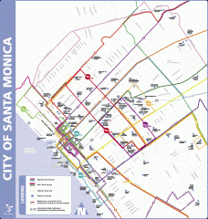
Big Blue Bus Lines in Downtown Santa Monica...
Map of bus lines serving downtown Santa Monica, California. Also shows points of interest such as...
318 miles away
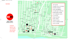
Design District, Santa Monica, California Map
Map of modern design showrooms in downtown Santa Monica, California.
318 miles away
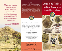
Antelope Valley State Park Map
Map of park with detail of of trails and recreation zones
320 miles away
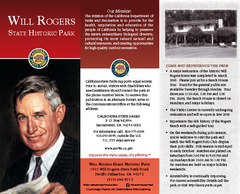
Will Rogers State Historic Park Map
Map of park with detail of trails and recreation zones
320 miles away
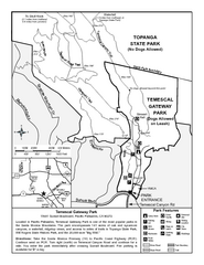
Temescal Canyon Trail Map
Trail map of Temescal Gateway Park, Temescal Canyon, and adjoining section of Topanga State Park...
321 miles away
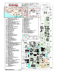
California State University at Northridge Map
Campus Map of the California State University at Northridge. All buildings shown.
326 miles away
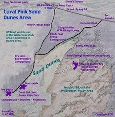
Coral Pink Sand Dunes Map
327 miles away
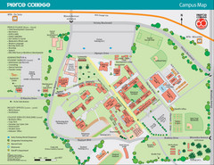
Pierce College Campus Map
Pierce College Campus Map. Located in Woodland Hills, California. Shows all areas.
327 miles away
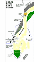
Coral Pink Sand Dunes State Park Map
Rippling arcs of rust-colored sand welcome you as you enter Coral Pink Sand Dunes State Park...
328 miles away
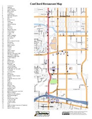
Woodland Hills, California Restaurant Map
328 miles away
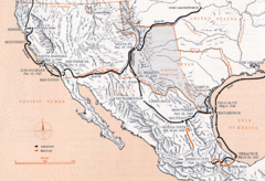
Mexican War Historical Map
329 miles away
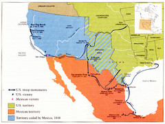
Mexican War Historical Map
329 miles away
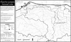
Placerita Canyon Trail Map
329 miles away

