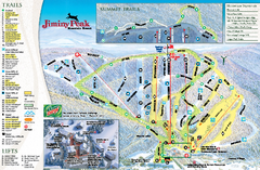
Jiminy Peak Resort Ski Trail Map
Trail map from Jiminy Peak Resort.
114 miles away
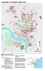
Harvard University campus map
Harvard University campus map
114 miles away
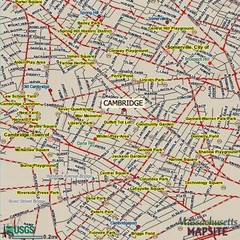
Cambridge, Massachusetts Map
114 miles away
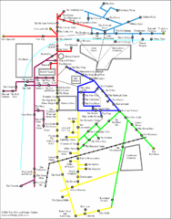
Cambridge Pub Map
114 miles away
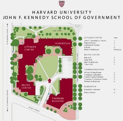
John F. Kennedy School of Government Campus Map
Campus map of the Harvard University John F. Kennedy School of Government in Cambridge...
114 miles away
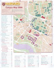
Harvard University Map
Campus map
114 miles away
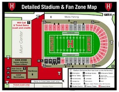
Harvard Stadium Map
Beautiful map of the horse-shoe shaped stadium of Harvard University.
115 miles away
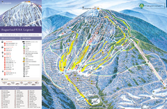
Sugarloaf Ski Trail Map
Trail map from Sugarloaf, which provides downhill, nordic, and terrain park skiing. It has 15 lifts...
115 miles away
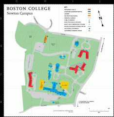
Boston College Newton Campus Map
campus map for Boston College Newton Campus
115 miles away
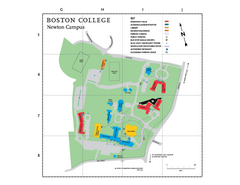
Boston College - Newton Campus Map
Boston College - Newton Campus Map. Shows all buildings.
115 miles away
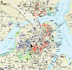
Boston National Historical Park Official Park Map
Official NPS map of Boston National Historical Park in Boston, Massachusetts. From park brochure...
115 miles away
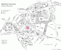
Boston College Chestnut Hill Campus Map
campus map for Boston College's Chestnut Hill Camps
116 miles away
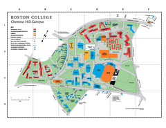
Boston College Main Chestnut Hill Campus Map
The main campus of Boston College, Chestnut Hill. Grid Map with Building Table
116 miles away
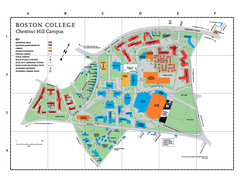
Boston College - Chestnut Hill Campus Map
Boston College - Chestnut Hill Campus Map. Shows all buildings.
116 miles away
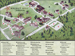
Walnut Hill School Map
Campus Map
116 miles away
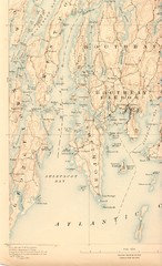
Boothbay Island Map
Topographical map of Boothbay Island and surrounding areas
116 miles away
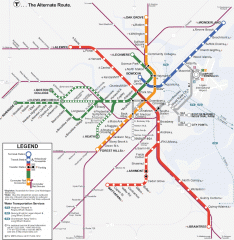
Boston Subway T Map
Massachusetts Bay Transportation Authority (MBTA) map of the Boston T subway system. Includes...
116 miles away
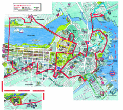
Boston Beantown Trolley Route Map
Route Map for the Boston Beantown trolley. Shows the trolley route, all stops, and a colorful...
116 miles away
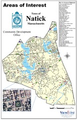
Natick Areas Of Interest Map
Shows points of interest in town of Natick, Massachusetts. Inset of downtown Natick.
116 miles away
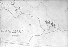
1870s Map of Wellesley College
General plan of college grounds, 1870s.
116 miles away
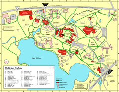
Wellesley College campus map
2008 Wellesley College campus map
116 miles away
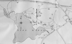
1899 Map of Wellesley College
After College Hall, the original site of Wellesley's faculty, students, classrooms, and...
116 miles away
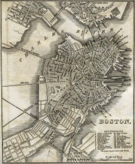
Antique map of Boston from 1842
Antique map of Boston from Tanner, H.S. The American Traveller; or Guide Through the United States...
116 miles away
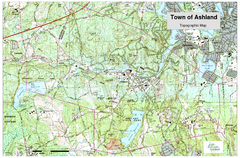
Ashland, MA - Topo Map
Map is provided by the town of Ashland, MA. See town's website for additional maps and...
116 miles away
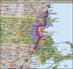
Interstate 95 Cities in Massachusetts Map
116 miles away
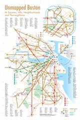
Boston Neighborhood Map
116 miles away
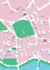
Boston Neighborhood Map
116 miles away
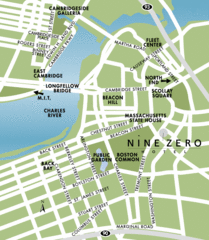
Central Boston Tourist Map
116 miles away
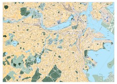
Boston, Massachusetts City Map
116 miles away
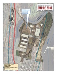
Green Island Map
Aerial town map of Green Island, New York on the Hudson River
116 miles away
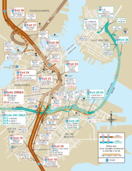
I-93 & I-90 Boston Map
Detail of exits and on-ramps for downtown Boston.
116 miles away
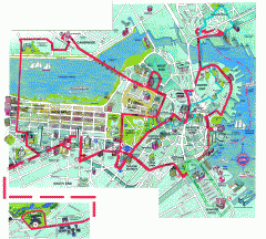
Boston 'Beantown Trolley' map
Tourist map of Boston, Mass. showing route of the Beantown Trolley, various points of interest and...
116 miles away
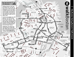
Walking Map of Boston, Massachusetts
Tourist map of Boston, Massachusetts, showing walking routes and times, as well as museums, squares...
116 miles away
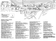
Boston University Charles River Campus Map
Campus map of Boston University. Charles River Campus. All areas shown.
116 miles away
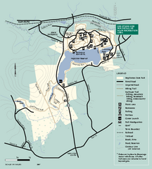
Hopkinton State Park trail map
Trail map of Hopkinton State Park in Massachusetts
117 miles away
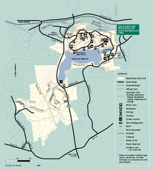
Hopkinton State Park trail map
Trail map of Hopkinton State Park in Massachusetts
117 miles away
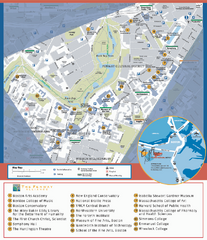
Fenway Cultural District Map
Map of the Fenway Cultural District. Shows schools, museums, libraries, and other cultural points...
117 miles away
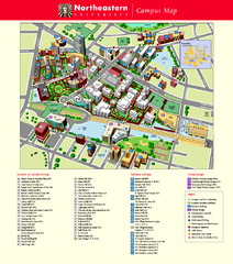
Northeastern University Map
Northeastern University Campus Map. All areas shown.
117 miles away

