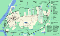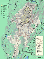
Mt. Greylock State Reservation summer trail map
Summer trail map of the Mt. Greylock State Park area in Massachusetts.
105 miles away
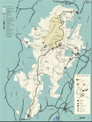
Mt. Greylock State Reservation map
Official summer map of the Mount Greylock State Reservation. At 3,491 feet, Mount Greylock is the...
105 miles away
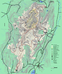
Mt. Greylock State Reservation winter trail map
Winter use trail map of Mt. Greylock State Park in Massachusetts.
105 miles away
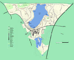
Walden Pond State Reservation trail map
Trail map of Walden Pond State Reservation
106 miles away
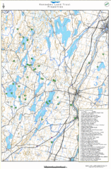
Kennebec Land Trust Map
Map of properties of the Kennebec Land Trust in Maine.
106 miles away
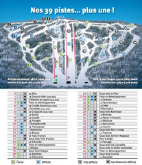
Ski Mont Shefford Ski Trail Map
Trail map from Ski Mont Shefford, which provides downhill skiing. This ski area has its own website.
107 miles away
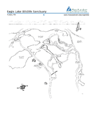
Eagle Lake Conservation Area Map
107 miles away
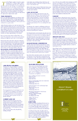
Mt. Pisgah Map - Northboro, Berlin, Boylston Mass
107 miles away
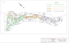
Town of Lexington Historic Districts Map
Identifies the 4 historical districts of Lexington, Massachusetts.
107 miles away
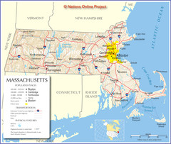
Massachusetts Road Map
108 miles away
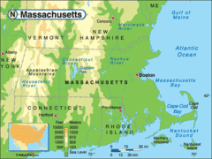
Massachusetts Rivers, Lakes, Mountains and...
108 miles away
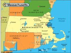
Massachusetts Cities Map
108 miles away
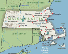
Massachusetts Cities and Mountains Map
108 miles away
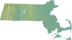
Maryland Relief Map
108 miles away
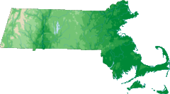
Massachusetts Elevations Map
108 miles away
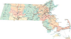
Massachusetts Road Map
108 miles away
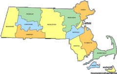
Massachusetts Counties Map
108 miles away
Massachusetts Zip Code Map
Check out this Zip code map and every other state and county zip code map zipcodeguy.com.
108 miles away
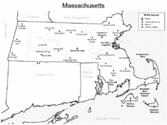
Massachusetts Airports Map
108 miles away
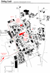
University of Massachusetts Amherst Parking Map
Map of the University of Massachusetts. Includes all buildings, streets, and parking information.
108 miles away
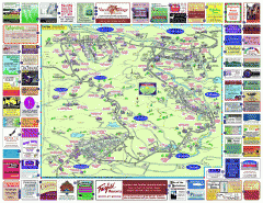
North County Berkshires map
Tourist map of North County - Pittsfield, N. Adams, Adams, Lanesboro, Cheshire, Williamstown...
108 miles away
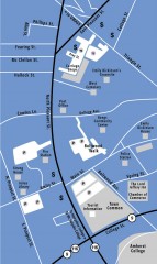
Downtown Amherst, Massachusetts Map
Tourist map of downtown Amherst, Massachusetts, showing attractions, government buildings, atms...
109 miles away
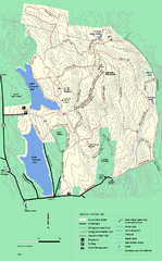
DAR State Forest winter map
Winter use map of the Daughters of the American Revolution State Forest.
109 miles away
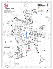
University of Massachusetts - Amherst Map
Campus Map of the University of Massachusetts - Amherst. All buildings shown.
109 miles away
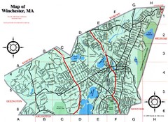
Winchester Town Map
109 miles away
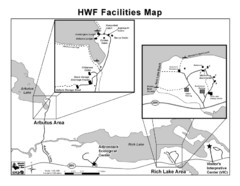
Adirondack Map
Map of Adirondack Park Reserve. Shows Rich Lake Area, Arbutus Area, and the location of the...
109 miles away
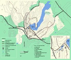
Moore State Park trail map
Trail map of Moore State Park in Massachusetts.
109 miles away
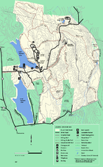
DAR State Forest summer map
Summer use map of the Daughters of the American Revolution state forest.
110 miles away
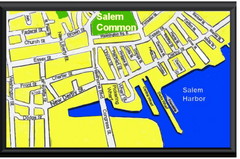
Salem, Massachusetts Guide Map
110 miles away
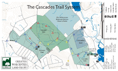
Cascades Park Map
111 miles away
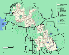
Callahan State Park trail map
Trail map of Callahan State Park in Massachusetts
112 miles away
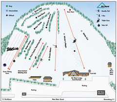
Ski Ward Ski Trail Map
Trail map from Ski Ward.
112 miles away
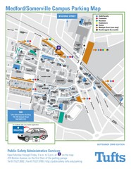
Medford Campus Map
Clear map indicating buildings and parking areas.
112 miles away
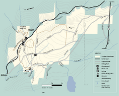
Windsor State Forest trail map
Trail map of Windsor State Forest in Massachusetts.
112 miles away
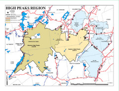
Adirondacks Canoeing Map
Guide to canoeing in the Adirondacks
112 miles away
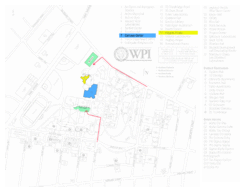
Worcester Polytechnic Institute Campus Map
Map of Worcester Polytechnic Institute. Includes all buildings, parking, streets, and location of...
113 miles away
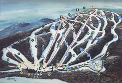
Brodie Ski Trail Map
Trail map from Brodie.
113 miles away
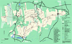
Mount Holyoke Range State Park Map
Trail map of Holyoke Range State Park.
114 miles away
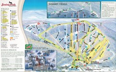
Jiminy Peak Ski Trail Map
Official ski trail map of Jiminy Peak ski area from the 2007-2008 season.
114 miles away

