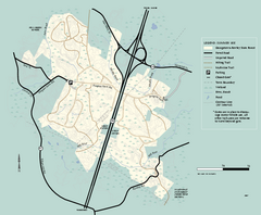
Georgetown-Rowley State Forest summer use map
Summer use map for Georgetown-Rowley State Forest.
97 miles away
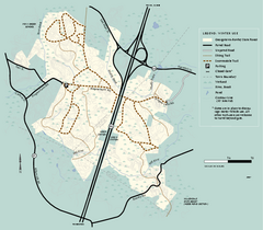
Georgetown-Rowley State Forest winter use map
Winter use map for the Georgetown-Rowley State Forest in Massachusetts.
98 miles away
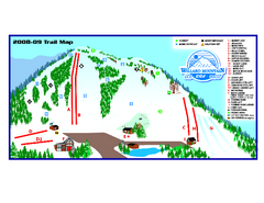
Willard Mountain Ski Area Ski Trail Map
Trail map from Willard Mountain Ski Area.
98 miles away
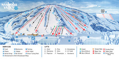
Nashoba Valley Ski Area Ski Trail Map
Trail map from Nashoba Valley Ski Area.
98 miles away
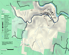
Mohawk Trail State Forest map
Map of the Mohawk Trail State Forest in Charlemont, Massachusetts.
98 miles away
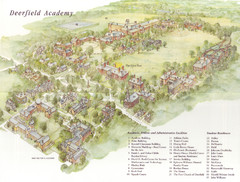
Deerfield Academy Campus Map
Shows buildings and facilities of Deerfield Academy. Scanned.
99 miles away
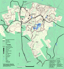
Great Brook Farm State Park trail map
Trail map of Great Brook Farm State Park.
99 miles away
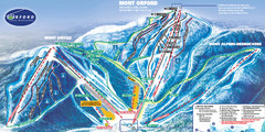
Mont Orford Ski Trail Map
Trail map from Mont Orford, which provides downhill and nordic skiing. This ski area has its own...
99 miles away
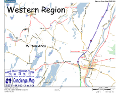
Western Maine, USA Map
Maine Coast Welcome Center's local Map of Western Maine with recommended business locations.
99 miles away
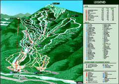
Whiteface Mountain—Lake Placid Ski Trail Map
Trail map from Whiteface Mountain—Lake Placid.
99 miles away
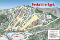
Berkshire East Ski Area Ski Trail Map
Trail map from Berkshire East Ski Area.
99 miles away
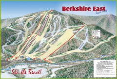
Berkshire East Ski Trail Map
Official ski trail map of Berkshire East ski area from the 2007-2008 season.
99 miles away
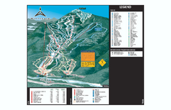
Whiteface Ski Trail Map
Official ski trail map of Whiteface 2006-2007 season.
99 miles away
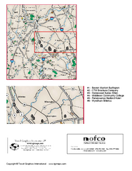
Greater Merrimack Valley, Massachusetts Map
Tourist map of greater Merrimack Valley, Massachusetts. Lodging, forests, and other points of...
100 miles away
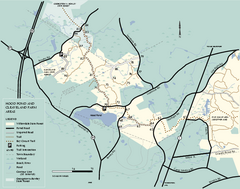
Willowdale State Forest map of Hood Pond
Trail map of the Hood Pond area of the Willowdale State Park in Massachusetts.
100 miles away
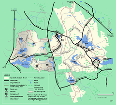
Harold Parker State Forest trail map
Trail map of Harold Parker State Forest in Massachusetts
100 miles away
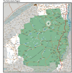
Adirondacks Lakes Map
Guide to lakes and waterways in the Adirondacks Park Preserve
100 miles away
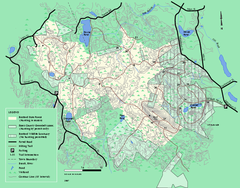
Boxford State Park trail map
Trail map of Boxford State Forest in Massachusetts
100 miles away
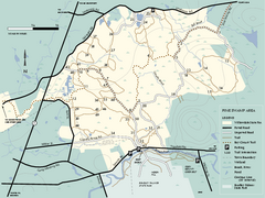
Willowdale State Forest map of Pine Swamp
Trail map of the Pine Swamp area of Willowdale State Park in Massachusetts.
101 miles away
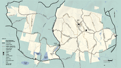
Kenneth Dubuque Memorial State Park trail map
Trail map of the Kenneth Dubuque state park conservation area in Massachusetts.
101 miles away
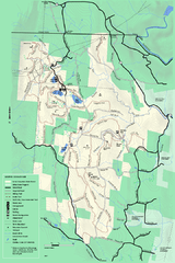
Savoy Mountail trail map
Trail map for Savoy Mountain in Massachusetts.
102 miles away
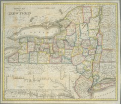
1831 Antique New York State map
The tourist's map of the state of New York : compiled from the latest authorities in the...
102 miles away
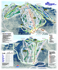
Ski Bromont Ski Trail Map
Trail map from Ski Bromont, which provides downhill skiing. This ski area has its own website.
102 miles away
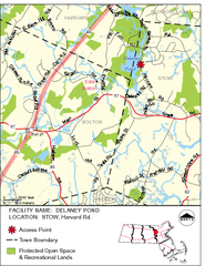
Delaney Conservation Land Map
102 miles away
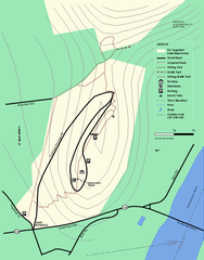
Mt. Sugarloaf State Reservation trail map
Trail map of Mount Sugarloaf State Reservation
102 miles away
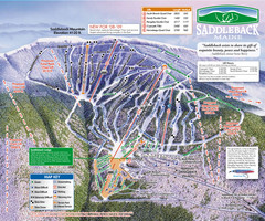
Saddleback Ski Area Ski Trail Map
Trail map from Saddleback Ski Area.
102 miles away
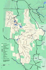
Savoy Mountain winter map
Winter use map of Savoy Mountain in Massachusetts.
102 miles away
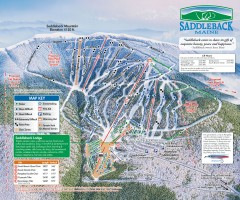
Saddleback Ski Trail Map
Official ski trail map of Saddleback Mountain ski area from the 2006-2007 season.
102 miles away
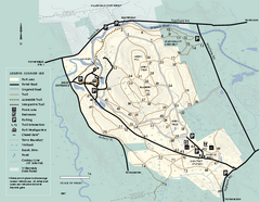
Bradley Palmer State Park summer map
Summer use map of Bradley Palmer State Park in Massachusetts
103 miles away
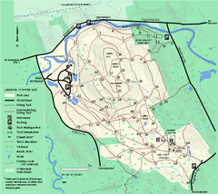
Bradley Palmer State Park winter map
Winter trail map of Bradley Palmer State Park.
103 miles away
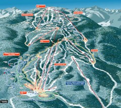
Gore Mountain Ski Trail Map
Official ski trail map of Gore Mountain ski area from the 2007-2008 season.
103 miles away
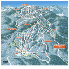
Gore Mountain Ski Trail Map
Trail map from Gore Mountain.
103 miles away
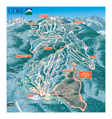
Gore Mountain Ski Trail Map
Trail map from Gore Mountain.
103 miles away
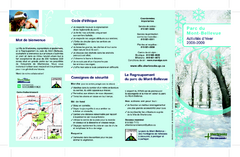
Mont-Bellevue and Nordic Ski Trail Map
Trail map from Mont-Bellevue.
103 miles away
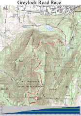
Mt. Greylock Road Race Course Map
Course map of the annual Mount Greylock Road Race. 8 Miles (uphill). Start/Finish: Mt. Williams...
104 miles away
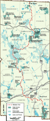
Midstate Trail Map
Map of the Midstate Trail, which runs from Ashburnham to the Rhode Island border. Shows state...
104 miles away
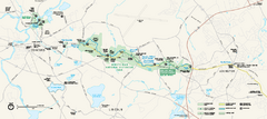
Minute Man National Historical Park Official Map
Official NPS map of Minute Man National Historical Park in Massachusetts. Map shows all areas. The...
104 miles away
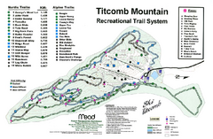
Titcomb Mountain Ski Trail Map
Trail map from Titcomb Mountain.
104 miles away
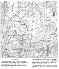
Trout Brook Conservation Area Map
104 miles away
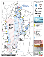
Quabbin Reservoir Fishing Map
Fishing access map of Quabbin Reservoir. Shows all ponds and submerged ponds.
105 miles away

