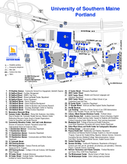
University of Southern Maine - Portland Map
87 miles away
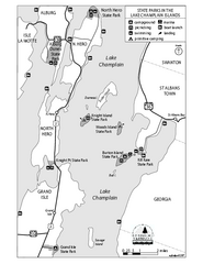
State Parks of the Champlain Islands Map
Map of the various State Parks of the Inland Sea / Lake Champlain area in Vermont
87 miles away
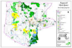
Pepperell Conservation Land and Open Spaces Map
Map showing conservation land and open spaces in Pepperell, MA.
88 miles away
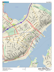
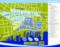
Portland, Maine City Map
88 miles away
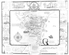
Hampton, New Hampshire Historical Map
Historical map of Hampton, New Hampshire. Illustrated map includes roads and historical buildings.
88 miles away
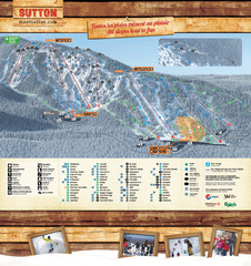
Mont Sutton Trail map
88 miles away
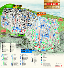
Mont Sutton Ski Trail Map
Trail map from Mont Sutton, which provides downhill skiing. This ski area has its own website.
88 miles away
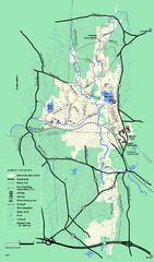
Otter River State Forest winter trail map
Winter usage trail map for Otter River State Park in Massachusetts.
88 miles away
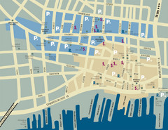
Portland, Maine Tourist Map
88 miles away
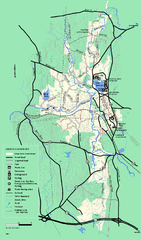
Otter River State Forest summer trail map
Summer trail map of the Otter River State Forest area in Massachusetts.
89 miles away
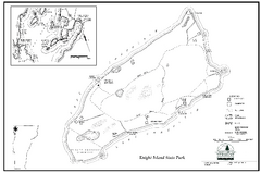
Knight Island State Park Campground Map
Map of Knight Island State Park in Vermont
89 miles away
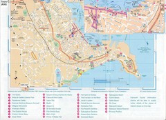
Falmouth Map
Map of Falmouth town and bay. Includes roads, parks, accommodations and attractions.
89 miles away
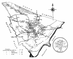
Hampton NH Map 1806
1806 map of Hampton, NH. Shows roads and settlements.
89 miles away
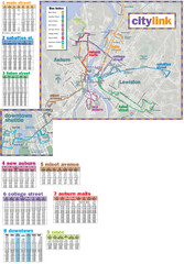
Citylink Route Map
Map of citylink bus routes throughout Auburn and Lewiston, Maine
90 miles away
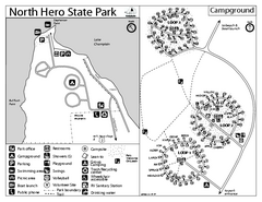
North Hero State Park Campground Map
Campground map of North Hero in Vermont
91 miles away
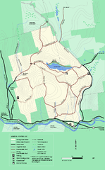
Erving State Park winter use map
Winter use map of the Erving State Park in Massachusetts
91 miles away
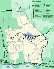
Erving Summer trail map
Summer use map of Erving State Park in Massachusetts.
91 miles away
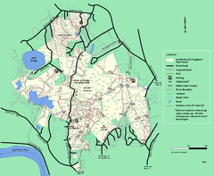
Lowell-Dracut-Tyngsboro State Forest trail map
Trail map for the Lowell-Dracut-Tyngsboro State Forest in Massachusetts
91 miles away
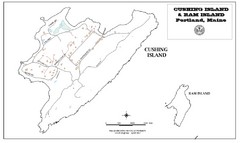
Cushing Island Map
Also shows Ram Island
91 miles away
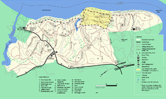
Maudslay State Park trail map
Trail Map of Maudslay State Park in Massachusetts.
91 miles away
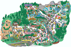
Six Flags Great Escape Theme Park Map
Official Park map of Six Flags Great Escape Theme Park in Lake George, NY.
92 miles away
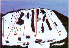
Ski Bradford Ski Trail Map
Trail map from Ski Bradford.
93 miles away
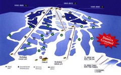
Mont Glen Ski Trail Map
Trail map from Mont Glen, which provides downhill skiing. This ski area has its own website.
93 miles away
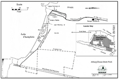
Alburg Dunes State Park map
Map of Alburg Dunes State Park in Vermont.
93 miles away
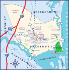
Salisbury Town Map
94 miles away
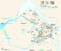
Lowell National Historical Park Official Map
Official NPS map of Lowell National Historical Park in Lowell, Massachusetts. Map shows all of...
95 miles away
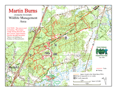
Downfall/Martin Burns WMA Map
95 miles away
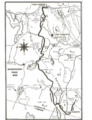
Monoosnoc Trail Map
95 miles away
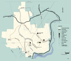
Monroe State Forest trail map
Trail map of Monroe State Forest in Massachusetts.
95 miles away
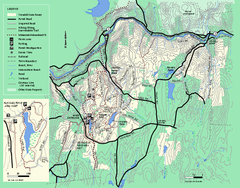
Wendell State Forest trail map
Trail map of Wendell State Forest in Massachusetts.
96 miles away
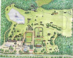
Newbury Perrenial Gardens Guide Map
96 miles away
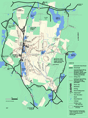
Leominster State Forest trail map
Trail map of Leominster State Forest in Massachusetts
96 miles away
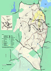
Wachusett Mountain State Reservation trail map
Trail map of Wachusett Mountain State Reservation in Massachusetts.
97 miles away
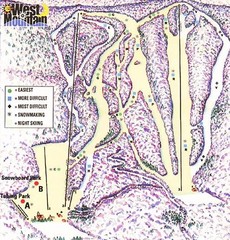
West Mountain Ski Area Ski Trail Map
Trail map from West Mountain Ski Area.
97 miles away
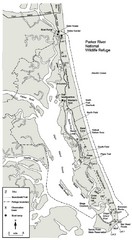
Parker River Map
Map of Parker River National Wildlife Refuge for birdlife
97 miles away
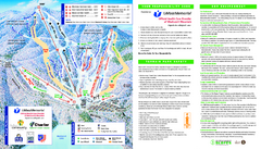
Wachusett Mountain Ski Trail Map
Trail map from Wachusett Mountain.
97 miles away
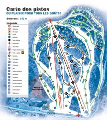
Montjoye Ski Trail Map
Trail map from Montjoye, which provides downhill skiing. This ski area has its own website.
97 miles away
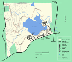
Clarksburg State Park trail map
Trail map of Clarksburg State Park in Massachusetts.
97 miles away
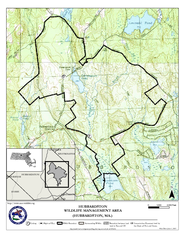
Hubbardston WMA Map
97 miles away

