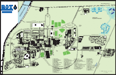
Rochester Institute of Technology Campus Map
Map of RIT campus.
291 miles away
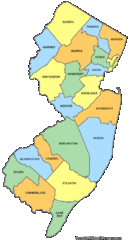
New Jersey Counties Map
293 miles away
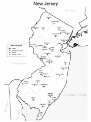
New Jersey Airports Map
293 miles away
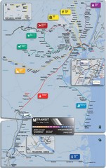
New Jersey Meadowlands Transportation Guide Map
293 miles away
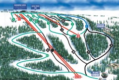
Eagle Rock Ski Trail Map
Official ski trail map of Eagle Rock Resort ski area from the 2007-2008 season.
294 miles away
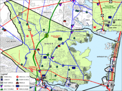
Tom's River, New Jersey City Map
295 miles away

Bath-Hornell Bus Route Map
295 miles away

Digital Elevation Model (DEM) of Conesus Lake Map
Digital Elevation Model (DEM) of Conesus Lake Map created in ARC Gis
296 miles away

Tyler State Park map
Detailed recreation map for Tyler State Park in Pennsylvania
296 miles away
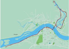
Fredericton Marathon Course Map 2007
Course map of the Fredericton, New Brunswick marathon May 2007
297 miles away

Tuscarora State Park Map
Detailed recreation map for Tuscarora State Park in Pennsylvania
297 miles away

Upper Bucks County, Pennsylvania Tourist Map
Cities within the Upper Bucks County in Pennsylvania
298 miles away
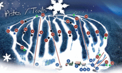
Mont Farlagne Ski Trail Map
Trail map from Mont Farlagne, which provides downhill skiing. This ski area has its own website.
299 miles away
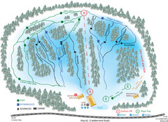
Madawaska Valley (Radcliffe Hills) Ski Trail Map
Trail map from Madawaska Valley (Radcliffe Hills), which provides downhill skiing.
299 miles away

New Jersey Tourist Map
Hand drawn tourist map of state of New Jersey, 1955.
299 miles away

Hills Creek State Park map
Detailed map of Hills Creek State Park in Pennsylvania
301 miles away
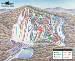
Bear Creek Ski & Recreation Area Ski Trail Map
Trail map from Bear Creek Ski & Recreation Area.
301 miles away
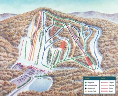
Bear Creek Ski Trail Map
Official ski trail map of Bear Creek ski area from the 2007-2008 season.
301 miles away
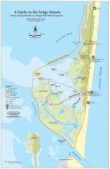
Island Beach State Park Canoe and Kayak map
Canoe and kayak guide to the Sedge islands in Island Beach State Park near Barnegat Bay, NJ. The...
302 miles away
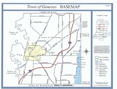
Geneseo Town Map
302 miles away

Locust Lake State Park map
Detailed map of Locust Lake State Park in Pennsylvania
302 miles away
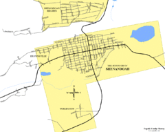
Shenandoah, Pennsylvania Map
302 miles away

Neshaminy State Park map
Detailed recreation map of Neshaminy State Park in Pennsylvania
304 miles away
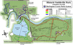
Smithville Park Trail Map
306 miles away
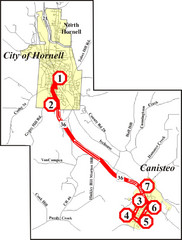
Canisteo-Hornell Bus Route Map
306 miles away
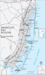
Barnegat Bay region trail map
Trail map of the Barnegat Bay region of New Jersey.
306 miles away
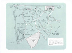
Willingboro Map
306 miles away
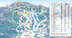
Mont Edouard Ski Trail Map
Trail map from Mont Edouard, which provides downhill skiing. This ski area has its own website.
306 miles away
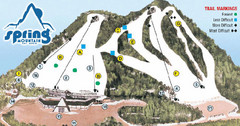
Spring Mountain Ski Area Ski Trail Map
Trail map from Spring Mountain Ski Area.
307 miles away
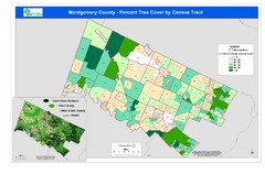
Montgomery County Tree Cover Map
Poster map of tree cover of Montgomery County, Pennsylvania
308 miles away
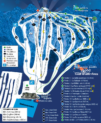
Mont Lac-Vert Ski Trail Map
Trail map from Mont Lac-Vert, which provides downhill skiing. This ski area has its own website.
309 miles away
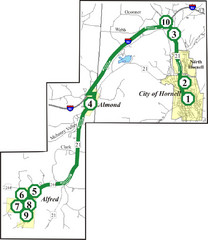
Alfred-Hornell Bus Route Map
309 miles away

Fort Washington State Park map
Map of Fort Washington State Park in Pennsylvania.
309 miles away
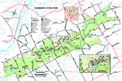
Evansburg State Park map
Detailed map of Evansburg State Park in Pennsylvania
310 miles away

Harvey Cedars, New Jersey Map
310 miles away
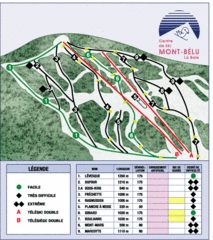
Mont-Bélu Ski Trail Map
Trail map from Mont-Bélu.
311 miles away
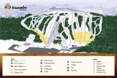
Swain Ski & Snowboard Resort Ski Trail Map
Trail map from Swain Ski & Snowboard Resort.
312 miles away
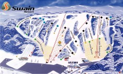
Swain Ski Trail Map
Official ski trail map of Swain Resort ski area from the 2007-2008 season.
312 miles away
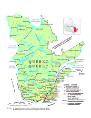
Quebec Political Map
Political map of province of Quebec, Canada. Show capitals, town, and major roads.
313 miles away

